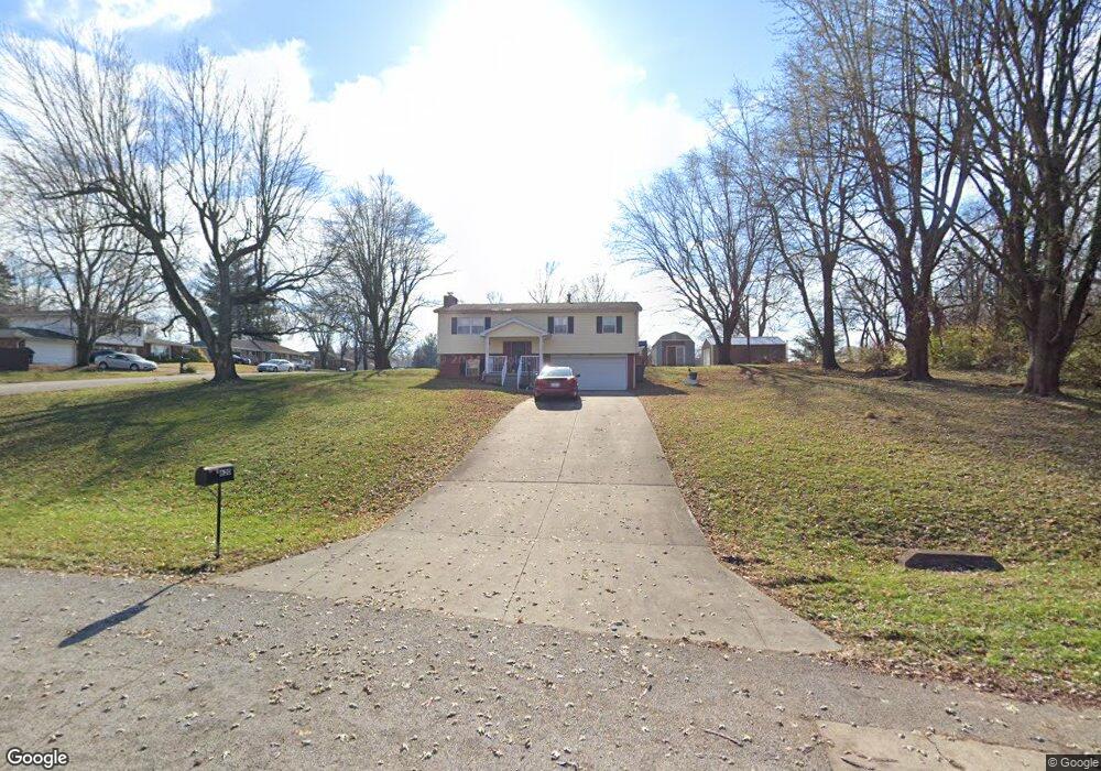
620 Roger Dr Seymour, IN 47274
Estimated Value: $233,000 - $287,000
3
Beds
2
Baths
1,880
Sq Ft
$135/Sq Ft
Est. Value
About This Home
This home is located at 620 Roger Dr, Seymour, IN 47274 and is currently estimated at $253,891, approximately $135 per square foot. 620 Roger Dr is a home located in Jackson County with nearby schools including Seymour-Redding Elementary School, Seymour Middle School, and Seymour Senior High School.
Ownership History
Date
Name
Owned For
Owner Type
Purchase Details
Closed on
Dec 2, 2020
Sold by
Watson Megan Renee and Watson Chad Douglas
Bought by
Sanchez Meagan Renee
Current Estimated Value
Home Financials for this Owner
Home Financials are based on the most recent Mortgage that was taken out on this home.
Original Mortgage
$118,844
Outstanding Balance
$105,995
Interest Rate
2.8%
Mortgage Type
FHA
Estimated Equity
$147,896
Purchase Details
Closed on
Sep 22, 2016
Sold by
Marc Jason Crane
Bought by
Watson Chad Douglas and Watson Megan Renee
Create a Home Valuation Report for This Property
The Home Valuation Report is an in-depth analysis detailing your home's value as well as a comparison with similar homes in the area
Home Values in the Area
Average Home Value in this Area
Purchase History
| Date | Buyer | Sale Price | Title Company |
|---|---|---|---|
| Sanchez Meagan Renee | -- | None Listed On Document | |
| Watson Chad Douglas | -- | -- |
Source: Public Records
Mortgage History
| Date | Status | Borrower | Loan Amount |
|---|---|---|---|
| Open | Sanchez Meagan Renee | $118,844 |
Source: Public Records
Tax History Compared to Growth
Tax History
| Year | Tax Paid | Tax Assessment Tax Assessment Total Assessment is a certain percentage of the fair market value that is determined by local assessors to be the total taxable value of land and additions on the property. | Land | Improvement |
|---|---|---|---|---|
| 2024 | $642 | $133,300 | $31,900 | $101,400 |
| 2023 | $665 | $137,700 | $31,900 | $105,800 |
| 2022 | $699 | $137,900 | $31,900 | $106,000 |
| 2021 | $532 | $129,400 | $31,900 | $97,500 |
| 2020 | $523 | $129,400 | $31,900 | $97,500 |
| 2019 | $550 | $129,400 | $31,900 | $97,500 |
| 2018 | $946 | $129,500 | $31,900 | $97,600 |
| 2017 | $643 | $128,700 | $31,900 | $96,800 |
| 2016 | $391 | $128,700 | $31,900 | $96,800 |
| 2014 | $463 | $120,300 | $31,900 | $88,400 |
| 2013 | $463 | $122,200 | $31,800 | $90,400 |
Source: Public Records
Map
Nearby Homes
- 439 Alisa Ave
- 720 Redding Rd
- 1935 N Ewing St
- 6778 Redbud Ln
- 6762 Redbud Ln
- 6786 Coreopsis Ln
- 6784 Coreopsis Ln
- 6827 Bluebird Ln
- 6811 Sunflower Ct
- 6809 Sunflower Ct
- 6813 Sunflower Ct
- 6990 Meadow Run
- 6980 Meadow Run
- 6842 Bluebird Ln
- 6823 Bluebird Ln
- 338 Redwood Dr
- 1510 Shields Ave
- 9162 Janelle Dr
- 304 E 14th St
- 500 E 14th St
- 2135 Mark Twain Ave
- 626 Roger Dr
- 2207 Mark Twain Ave
- 2134 Mark Twain Ave
- 2127 Mark Twain Ave
- 2132 Hillside Dr
- 2124 Hillside Dr
- 2126 Mark Twain Ave
- 627 Roger Dr
- 632 Roger Dr
- 605 Roger Dr
- 2211 Mark Twain Ave
- 2120 Hillside Dr
- 2212 Mark Twain Ave
- 2120 Mark Twain Ave
- 2121 Mark Twain Ave
- 633 Roger Dr
- 2115 Mark Twain Ave
- 2214 Mark Twain Ave
- 2133 Hillside Dr