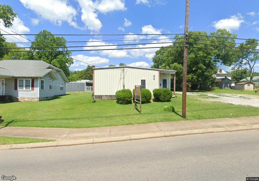
620 S 1st St Pulaski, TN 38478
Estimated Value: $119,132
--
Bed
--
Bath
1,300
Sq Ft
$92/Sq Ft
Est. Value
About This Home
This home is located at 620 S 1st St, Pulaski, TN 38478 and is currently estimated at $119,132, approximately $91 per square foot. 620 S 1st St is a home located in Giles County with nearby schools including Pulaski Elementary School, Southside Elementary School, and Bridgeforth Middle School.
Ownership History
Date
Name
Owned For
Owner Type
Purchase Details
Closed on
Mar 21, 2022
Sold by
Hasting Michael L
Bought by
Wade John Michael and Wade Amy Brynn
Current Estimated Value
Home Financials for this Owner
Home Financials are based on the most recent Mortgage that was taken out on this home.
Original Mortgage
$84,000
Outstanding Balance
$74,922
Interest Rate
4.16%
Mortgage Type
New Conventional
Estimated Equity
$44,210
Purchase Details
Closed on
Nov 8, 2005
Sold by
Watson James Kent
Bought by
Hasting Michael L
Home Financials for this Owner
Home Financials are based on the most recent Mortgage that was taken out on this home.
Original Mortgage
$50,000
Interest Rate
5.9%
Mortgage Type
Commercial
Purchase Details
Closed on
Oct 16, 1996
Sold by
Burrow Rodney and Burrow Kimberly
Bought by
Shelton Christine
Purchase Details
Closed on
Oct 11, 1996
Bought by
Watson James Kent
Purchase Details
Closed on
Mar 6, 1996
Sold by
Solomon Donald Jeffery
Bought by
Burrow Rodney and Burrow Kimberly
Create a Home Valuation Report for This Property
The Home Valuation Report is an in-depth analysis detailing your home's value as well as a comparison with similar homes in the area
Home Values in the Area
Average Home Value in this Area
Purchase History
| Date | Buyer | Sale Price | Title Company |
|---|---|---|---|
| Wade John Michael | $102,000 | Plant Paul B | |
| Hasting Michael L | $47,000 | -- | |
| Shelton Christine | $38,000 | -- | |
| Watson James Kent | $47,000 | -- | |
| Burrow Rodney | $30,000 | -- |
Source: Public Records
Mortgage History
| Date | Status | Borrower | Loan Amount |
|---|---|---|---|
| Open | Wade John Michael | $84,000 | |
| Previous Owner | Burrow Rodney | $50,000 |
Source: Public Records
Tax History Compared to Growth
Tax History
| Year | Tax Paid | Tax Assessment Tax Assessment Total Assessment is a certain percentage of the fair market value that is determined by local assessors to be the total taxable value of land and additions on the property. | Land | Improvement |
|---|---|---|---|---|
| 2025 | $347 | $14,400 | $0 | $0 |
| 2024 | $347 | $14,400 | $8,800 | $5,600 |
| 2023 | $347 | $14,400 | $8,800 | $5,600 |
| 2022 | $347 | $14,400 | $8,800 | $5,600 |
| 2021 | $612 | $18,080 | $13,200 | $4,880 |
| 2020 | $612 | $18,080 | $13,200 | $4,880 |
| 2019 | $511 | $18,080 | $13,200 | $4,880 |
| 2018 | $612 | $18,080 | $13,200 | $4,880 |
| 2017 | $612 | $18,080 | $13,200 | $4,880 |
| 2016 | $684 | $19,320 | $12,760 | $6,560 |
| 2015 | $646 | $19,320 | $12,760 | $6,560 |
| 2014 | $646 | $19,322 | $0 | $0 |
Source: Public Records
Map
Nearby Homes
- 602 S 1st St
- 311 S 1st St
- 303 Magazine Rd
- 219 W Flower St
- 118 S Rhodes St
- 326 Ballentine St
- 123 S Sam Davis Ave
- 210 S 6th St
- 439 E Madison St
- 11 Highway 11
- 318 W Jefferson St
- 523 Highland Ave
- 321 W Washington St
- 534 E College St
- 527 E Madison St
- 515 S Cedar Ln
- 803 Nichols St
- 804 Morgan St
- 116 E Woodring St
- 635 Cleveland St Unit 637