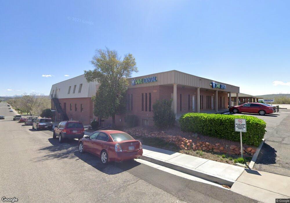
620 S 400 E St. George, UT 84770
Studio
--
Bath
36,844
Sq Ft
30,056
Sq Ft Lot
About This Home
This home is located at 620 S 400 E, St. George, UT 84770. 620 S 400 E is a home located in Washington County with nearby schools including Legacy School, Dixie Middle School, and Tonaquint Intermediate School.
Ownership History
Date
Name
Owned For
Owner Type
Purchase Details
Closed on
Jun 2, 2006
Sold by
Mcblaine Geraldine Ann Gates
Bought by
Municipal Building Authority Of Washingt
Home Financials for this Owner
Home Financials are based on the most recent Mortgage that was taken out on this home.
Original Mortgage
$3,500,000
Outstanding Balance
$2,055,410
Interest Rate
6.55%
Mortgage Type
Commercial
Purchase Details
Closed on
Apr 27, 2006
Sold by
Willie John C and Willie Jarilyn P
Bought by
Willie John C and John C & Jarilyn P Willie Charitable Rem
Home Financials for this Owner
Home Financials are based on the most recent Mortgage that was taken out on this home.
Original Mortgage
$3,500,000
Outstanding Balance
$2,055,410
Interest Rate
6.55%
Mortgage Type
Commercial
Create a Home Valuation Report for This Property
The Home Valuation Report is an in-depth analysis detailing your home's value as well as a comparison with similar homes in the area
Purchase History
| Date | Buyer | Sale Price | Title Company |
|---|---|---|---|
| Municipal Building Authority Of Washingt | -- | Southern Utah Title Co | |
| Willie John C | -- | None Available |
Source: Public Records
Mortgage History
| Date | Status | Borrower | Loan Amount |
|---|---|---|---|
| Open | Municipal Building Authority Of Washingt | $3,500,000 |
Source: Public Records
Tax History
| Year | Tax Paid | Tax Assessment Tax Assessment Total Assessment is a certain percentage of the fair market value that is determined by local assessors to be the total taxable value of land and additions on the property. | Land | Improvement |
|---|---|---|---|---|
| 2025 | -- | -- | -- | -- |
| 2023 | -- | -- | -- | -- |
| 2022 | $0 | $5,055,400 | $357,100 | $4,698,300 |
| 2021 | $0 | $3,885,600 | $310,600 | $3,575,000 |
| 2020 | $0 | $3,438,100 | $301,500 | $3,136,600 |
| 2019 | $0 | $3,316,300 | $301,500 | $3,014,800 |
| 2018 | $0 | $0 | $0 | $0 |
| 2017 | $0 | $0 | $0 | $0 |
| 2016 | -- | $0 | $0 | $0 |
| 2015 | -- | $0 | $0 | $0 |
| 2014 | -- | $0 | $0 | $0 |
Source: Public Records
Map
Nearby Homes
- 251 E 700 S
- 443 E 700 S
- 464 E 700 S
- 665 S 500 E
- 777 S 400 E Unit 45
- 459 S 500 E
- 453 S 100 E Unit 8
- 376 E 300 S Unit 2
- 433 S 100 E
- 454 S 100 E Unit 10
- 840 S 400 E Unit 58
- 840 S 400 E Unit 46
- 840 S 400 E Unit 46
- 55 E 700 S Unit 8
- 295 S 200 E
- 339 S 600 E
- 375 S Main St Unit 4
- 79 W 500 S
- 701 E 900 S Unit 41
- 701 E 900 S Unit 33
- 350 E 600 S
- 356 E 600 S
- 630 S 400 E
- 348 E 600 S
- 340 E 600 S
- 340 E 600 S
- 410 E 600 S
- 623 S 400 E
- 411 E 650 S
- 660 S 400 E Unit 3
- 660 S 400 E Unit 2
- 660 S 400 E Unit 1
- 660 S 400 E Unit 5
- 660 S 400 E Unit 6
- 660 S 400 E Unit 7
- 660 S 400 E Unit 8
- 660 S 400 E Unit 12
- 660 S 400 E Unit 10
- 660 S 400 E Unit 9
- 660 S 400 E Unit 13
Your Personal Tour Guide
Ask me questions while you tour the home.