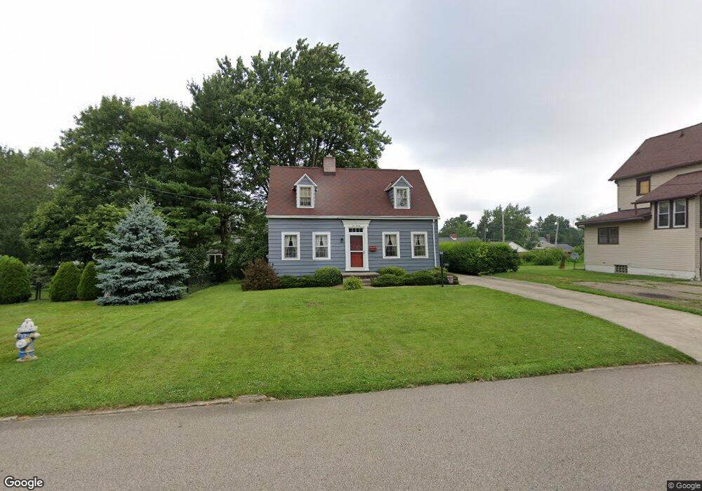
620 Sloane Ave Mansfield, OH 44903
Estimated Value: $144,000 - $158,000
About This Home
This home is located at 620 Sloane Ave, Mansfield, OH 44903 and is currently estimated at $150,770, approximately $118 per square foot. 620 Sloane Ave is a home located in Richland County with nearby schools including Goal Digital Academy, Discovery School, and St. Peter's Elementary/Montessori School.
Ownership History
We collect this data history from publicly available records. To have your information removed, we recommend requesting removal directly through your county’s website.
Purchase Details
Purchase Details
Home Values in the Area
Average Home Value in this Area
Purchase History
We collect this data history from publicly available records. To have your information removed, we recommend requesting removal directly through your county’s website.
| Date | Buyer | Sale Price | Title Company |
|---|---|---|---|
| -- | Attorney | ||
| $46,500 | -- |
Tax History
We collect this data history from publicly available records. To have your information removed, we recommend requesting removal directly through your county’s website.
| Year | Tax Paid | Tax Assessment Tax Assessment Total Assessment is a certain percentage of the fair market value that is determined by local assessors to be the total taxable value of land and additions on the property. | Land | Improvement |
|---|---|---|---|---|
| 2025 | $970 | $31,570 | $5,390 | $26,180 |
| 2024 | $970 | $31,570 | $5,390 | $26,180 |
| 2023 | $1,019 | $31,570 | $5,390 | $26,180 |
| 2022 | $783 | $22,770 | $4,620 | $18,150 |
| 2021 | $789 | $22,770 | $4,620 | $18,150 |
| 2020 | $1,310 | $22,770 | $4,620 | $18,150 |
| 2019 | $1,452 | $22,770 | $4,620 | $18,150 |
| 2018 | $1,432 | $22,770 | $4,620 | $18,150 |
| 2017 | $1,462 | $22,770 | $4,620 | $18,150 |
| 2016 | $1,530 | $24,250 | $6,070 | $18,180 |
| 2015 | $1,462 | $24,250 | $6,070 | $18,180 |
| 2014 | $1,443 | $24,250 | $6,070 | $18,180 |
| 2012 | $550 | $24,250 | $6,390 | $17,860 |
Map
- 551 Cline Ave
- 501 Forest St
- 562 Arlington Ave
- 544 Arlington Ave
- 521 Woodland Rd
- 246 Taylor Rd
- 908 E Linden Cir
- 575 Maple St
- 547 Maple St
- 211 Oakwood Dr
- 116 Stewart Ave S
- 140 Sherman Ave
- 107 Glenwood Blvd
- 356 Townview Cir N
- 664 Woodhill Rd
- 411 Davis Rd
- 370 Ruth Ave
- 78 Parkwood Blvd
- 122 Poplar St
- 42 Parkwood Blvd
- 612 Marion Ave
- 628 Sloane Ave
- 621 Manchester Rd
- 600 Marion Ave
- 616 Marion Ave
- 634 Sloane Ave
- 611 Manchester Rd
- 588 Marion Ave
- 633 Sloane Ave
- 638 Sloane Ave
- 639 Sloane Ave
- 641 Manchester Rd
- 646 Sloane Ave
- 645 Sloane Ave
- 647 Manchester Rd
- 620 Manchester Rd
- 607 Manchester Rd
- 614 Manchester Rd
- 626 Manchester Rd
- 650 Sloane Ave
Ask me questions while you tour the home.