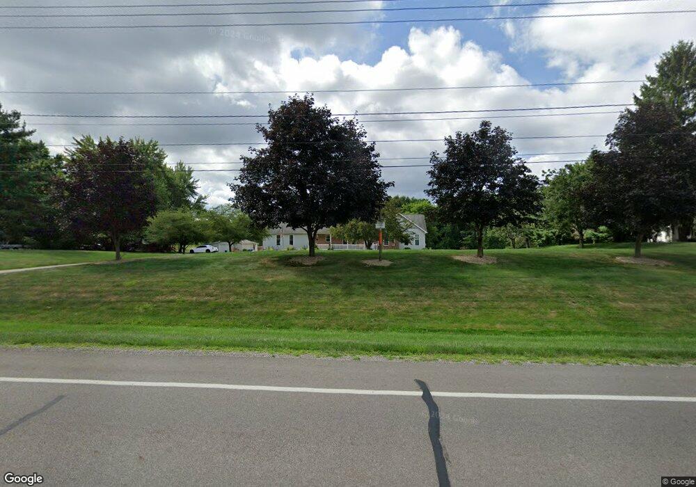
620 Terex Rd Hudson, OH 44236
Estimated Value: $570,373 - $608,000
3
Beds
3
Baths
2,357
Sq Ft
$248/Sq Ft
Est. Value
About This Home
This home is located at 620 Terex Rd, Hudson, OH 44236 and is currently estimated at $583,593, approximately $247 per square foot. 620 Terex Rd is a home located in Summit County with nearby schools including Ellsworth Hill Elementary School, East Woods Intermediate School, and Hudson Middle School.
Ownership History
Date
Name
Owned For
Owner Type
Purchase Details
Closed on
Feb 22, 2024
Sold by
Hill Pamela J
Bought by
Thomas D Hill And Pamela J Hill Revocable Tru and Hill
Current Estimated Value
Purchase Details
Closed on
Feb 19, 2024
Sold by
Hill Pamela J
Bought by
Thomas D Hill And Pamela J Hill Revocable Tru and Hill
Purchase Details
Closed on
Nov 7, 2002
Sold by
Estate Of Mona Jean Knight
Bought by
Knight Theodore H
Purchase Details
Closed on
Jul 9, 2002
Sold by
Knight Theodore H
Bought by
Knight Theodore H and Estate Of Mona Jean Knight
Create a Home Valuation Report for This Property
The Home Valuation Report is an in-depth analysis detailing your home's value as well as a comparison with similar homes in the area
Home Values in the Area
Average Home Value in this Area
Purchase History
| Date | Buyer | Sale Price | Title Company |
|---|---|---|---|
| Thomas D Hill And Pamela J Hill Revocable Tru | -- | None Listed On Document | |
| Thomas D Hill And Pamela J Hill Revocable Tru | -- | None Listed On Document | |
| Knight Theodore H | -- | -- | |
| Knight Theodore H | -- | -- |
Source: Public Records
Tax History Compared to Growth
Tax History
| Year | Tax Paid | Tax Assessment Tax Assessment Total Assessment is a certain percentage of the fair market value that is determined by local assessors to be the total taxable value of land and additions on the property. | Land | Improvement |
|---|---|---|---|---|
| 2025 | $8,536 | $168,896 | $23,919 | $144,977 |
| 2024 | $8,536 | $168,896 | $23,919 | $144,977 |
| 2023 | $8,536 | $168,896 | $23,919 | $144,977 |
| 2022 | $6,798 | $120,040 | $16,727 | $103,313 |
| 2021 | $6,809 | $120,040 | $16,727 | $103,313 |
| 2020 | $6,689 | $120,040 | $16,730 | $103,310 |
| 2019 | $5,916 | $98,230 | $18,960 | $79,270 |
| 2018 | $5,895 | $98,230 | $18,960 | $79,270 |
| 2017 | $6,064 | $98,230 | $18,960 | $79,270 |
| 2016 | $6,108 | $98,230 | $18,960 | $79,270 |
| 2015 | $6,064 | $98,230 | $18,960 | $79,270 |
| 2014 | $6,082 | $98,230 | $18,960 | $79,270 |
| 2013 | $6,126 | $96,600 | $18,960 | $77,640 |
Source: Public Records
Map
Nearby Homes
- 0 Lincoln Blvd
- 5491 Sullivan Rd
- 5469 Sullivan Rd
- 5532 Hudson Dr
- 6170 Nicholson Dr
- 4959 Hudson Dr
- 166 W Barlow Rd
- V/L Lawnmark Dr
- 311 W Streetsboro St
- 5072 Commanche Trail
- 1470 Mac Dr
- 48 Prescott Dr
- 21 Keswick Dr
- 0 Olde Eight Rd Unit 5156367
- 4844 State Rd
- 4850 State Rd
- HOLLISTER Plan at Reserve at Boulder Estates
- ALDEN Plan at Reserve at Boulder Estates
- PARKETTE Plan at Reserve at Boulder Estates
- BELLEVILLE Plan at Reserve at Boulder Estates