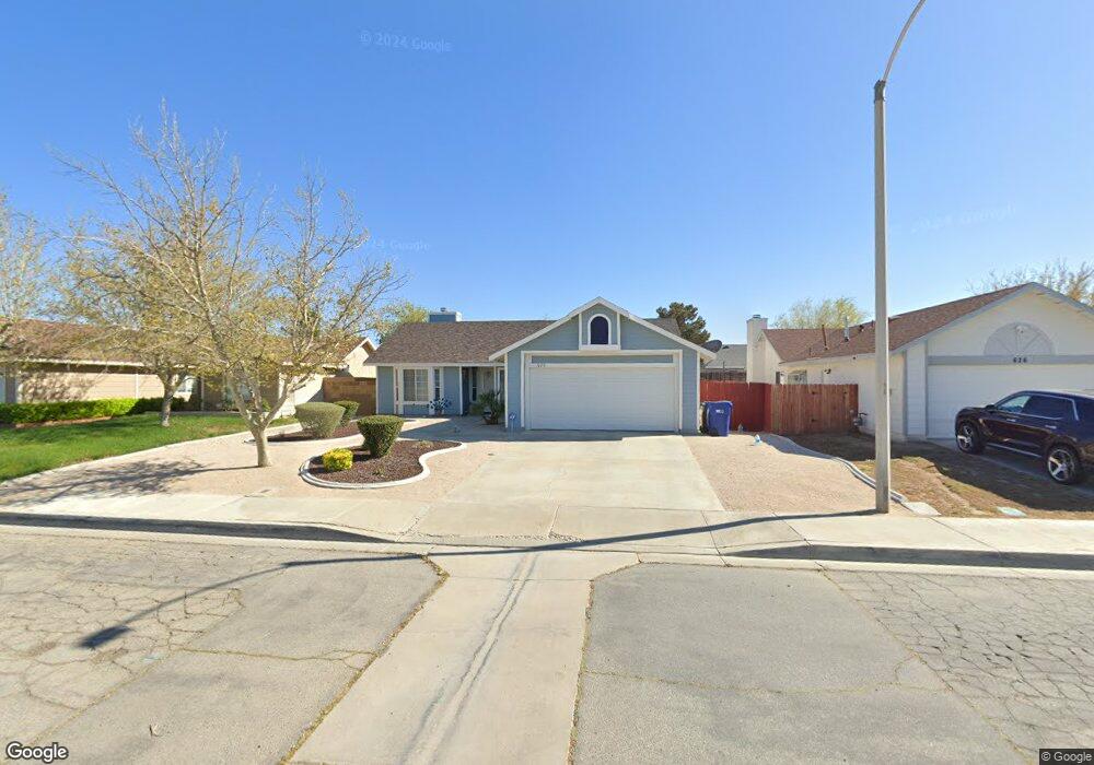
620 Trixis Ave Lancaster, CA 93534
Central Lancaster NeighborhoodEstimated Value: $367,843 - $413,000
3
Beds
2
Baths
1,304
Sq Ft
$301/Sq Ft
Est. Value
About This Home
This home is located at 620 Trixis Ave, Lancaster, CA 93534 and is currently estimated at $392,961, approximately $301 per square foot. 620 Trixis Ave is a home located in Los Angeles County with nearby schools including Mariposa Elementary School, Piute Middle School, and Antelope Valley High School.
Ownership History
Date
Name
Owned For
Owner Type
Purchase Details
Closed on
Dec 14, 2011
Sold by
Bank Of America N A
Bought by
Burleson Lakeshia M
Current Estimated Value
Home Financials for this Owner
Home Financials are based on the most recent Mortgage that was taken out on this home.
Original Mortgage
$80,895
Outstanding Balance
$55,168
Interest Rate
4.25%
Mortgage Type
FHA
Estimated Equity
$337,793
Purchase Details
Closed on
Sep 2, 2011
Sold by
Boren Ronald James
Bought by
Bank Of America N A
Create a Home Valuation Report for This Property
The Home Valuation Report is an in-depth analysis detailing your home's value as well as a comparison with similar homes in the area
Home Values in the Area
Average Home Value in this Area
Purchase History
| Date | Buyer | Sale Price | Title Company |
|---|---|---|---|
| Burleson Lakeshia M | $83,000 | Landsafe Title Company | |
| Bank Of America N A | $82,800 | Landsafe Title |
Source: Public Records
Mortgage History
| Date | Status | Borrower | Loan Amount |
|---|---|---|---|
| Open | Burleson Lakeshia M | $80,895 |
Source: Public Records
Tax History
| Year | Tax Paid | Tax Assessment Tax Assessment Total Assessment is a certain percentage of the fair market value that is determined by local assessors to be the total taxable value of land and additions on the property. | Land | Improvement |
|---|---|---|---|---|
| 2025 | $2,733 | $104,240 | $20,843 | $83,397 |
| 2024 | $2,733 | $102,197 | $20,435 | $81,762 |
| 2023 | $2,682 | $100,194 | $20,035 | $80,159 |
| 2022 | $2,507 | $98,231 | $19,643 | $78,588 |
| 2021 | $2,133 | $96,306 | $19,258 | $77,048 |
| 2019 | $2,085 | $93,451 | $18,688 | $74,763 |
| 2018 | $2,052 | $91,620 | $18,322 | $73,298 |
| 2016 | $1,960 | $88,063 | $17,611 | $70,452 |
| 2015 | $1,941 | $86,741 | $17,347 | $69,394 |
| 2014 | $1,949 | $85,043 | $17,008 | $68,035 |
Source: Public Records
Map
Nearby Homes
- 0 Avenue H Unit SR25253450
- 0 Avenue H Unit DW25078169
- 0 Avenue H Unit OC26036714
- 0 Avenue H Unit IG26047491
- 0 Avenue H Unit SR25143025
- 0 Avenue H Unit 24-469937
- 0 Avenue H Unit 25008146
- 0 Sierra Hwy Unit 22004238
- 719 W Avenue h2
- 0 Vic G8
- 805 Jason Ct
- 45650 Fig Ave
- 1041 W Avenue h2
- 45638 Fig Ave
- 755 W Holguin St
- 828 W Avenue h6
- 552 W Avenue h8
- 1046 W Avenue h6
- 0 Trevor Avenue Vic Ave Unit H6
- 714 W Avenue h9
- 614 Trixis Ave
- 626 Trixis Ave
- 617 Twinberry Ln
- 623 Twinberry Ln
- 632 Trixis Ave
- 608 Trixis Ave
- 611 Twinberry Ln
- 629 Twinberry Ln
- 623 Trixis Ave
- 611 Trixis Ave
- 629 Trixis Ave
- 605 Twinberry Ln
- 45947 Schamise St
- 638 Trixis Ave
- 635 Twinberry Ln
- 607 Trixis Ave
- 45941 Schamise St
- 0 Avenue H Unit SR18050676
- 0 Avenue H Unit IV26021431
- 0 Avenue H Unit TR25224467
Your Personal Tour Guide
Ask me questions while you tour the home.