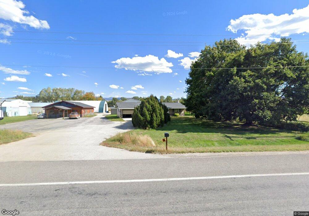
620 Us Highway 93 S Hamilton, MT 59840
Estimated Value: $371,808 - $409,000
3
Beds
2
Baths
1,152
Sq Ft
$334/Sq Ft
Est. Value
About This Home
This home is located at 620 Us Highway 93 S, Hamilton, MT 59840 and is currently estimated at $385,269, approximately $334 per square foot. 620 Us Highway 93 S is a home located in Ravalli County with nearby schools including Hamilton High School, Hamilton Christian Academy, and Blodgett View Christian School.
Ownership History
Date
Name
Owned For
Owner Type
Purchase Details
Closed on
Jun 12, 2017
Sold by
Kirk Nickish
Bought by
Borkholder Dennis L
Current Estimated Value
Home Financials for this Owner
Home Financials are based on the most recent Mortgage that was taken out on this home.
Original Mortgage
$272,876
Outstanding Balance
$226,976
Interest Rate
4.02%
Mortgage Type
New Conventional
Estimated Equity
$158,293
Purchase Details
Closed on
Mar 13, 2007
Bought by
Nickish Kirk
Create a Home Valuation Report for This Property
The Home Valuation Report is an in-depth analysis detailing your home's value as well as a comparison with similar homes in the area
Home Values in the Area
Average Home Value in this Area
Purchase History
| Date | Buyer | Sale Price | Title Company |
|---|---|---|---|
| Borkholder Dennis L | $341,095 | -- | |
| Nickish Kirk | -- | -- |
Source: Public Records
Mortgage History
| Date | Status | Borrower | Loan Amount |
|---|---|---|---|
| Open | Borkholder Dennis L | $272,876 |
Source: Public Records
Tax History Compared to Growth
Tax History
| Year | Tax Paid | Tax Assessment Tax Assessment Total Assessment is a certain percentage of the fair market value that is determined by local assessors to be the total taxable value of land and additions on the property. | Land | Improvement |
|---|---|---|---|---|
| 2025 | $1,066 | $331,978 | $0 | $0 |
| 2024 | $1,091 | $193,042 | $0 | $0 |
| 2023 | $1,087 | $193,042 | $0 | $0 |
| 2022 | $1,205 | $183,500 | $0 | $0 |
| 2021 | $1,298 | $183,500 | $0 | $0 |
| 2020 | $1,164 | $158,800 | $0 | $0 |
| 2019 | $1,168 | $158,800 | $0 | $0 |
| 2018 | $1,013 | $134,300 | $0 | $0 |
| 2017 | $958 | $134,300 | $0 | $0 |
| 2016 | $1,022 | $139,000 | $0 | $0 |
| 2015 | $1,015 | $139,000 | $0 | $0 |
| 2014 | $965 | $77,630 | $0 | $0 |
Source: Public Records
Map
Nearby Homes
- 131 Kyle Ln
- 106 Gilmore Ln
- 649 Grantsdale Rd
- 725 Curdys Cove Loop
- 467 Cooper Ln
- 467 Grantsdale Rd Unit 16
- 456 Cooper Ln
- 107 W Cooper Ln
- 810 Sleeping Child Rd
- 405 Cooper Ln
- 825 Grantsdale Rd
- 725 Westside Rd
- 817 Ponderosa Dr
- 318 Black Pearl Ln
- Lots 8b and 8c Mckinley St
- 266 Cartwright Way
- 123 Mountain Goat Rd
- NHN Bryants Ln
- 268 Cartwright Way
- 101 Lewis Ln