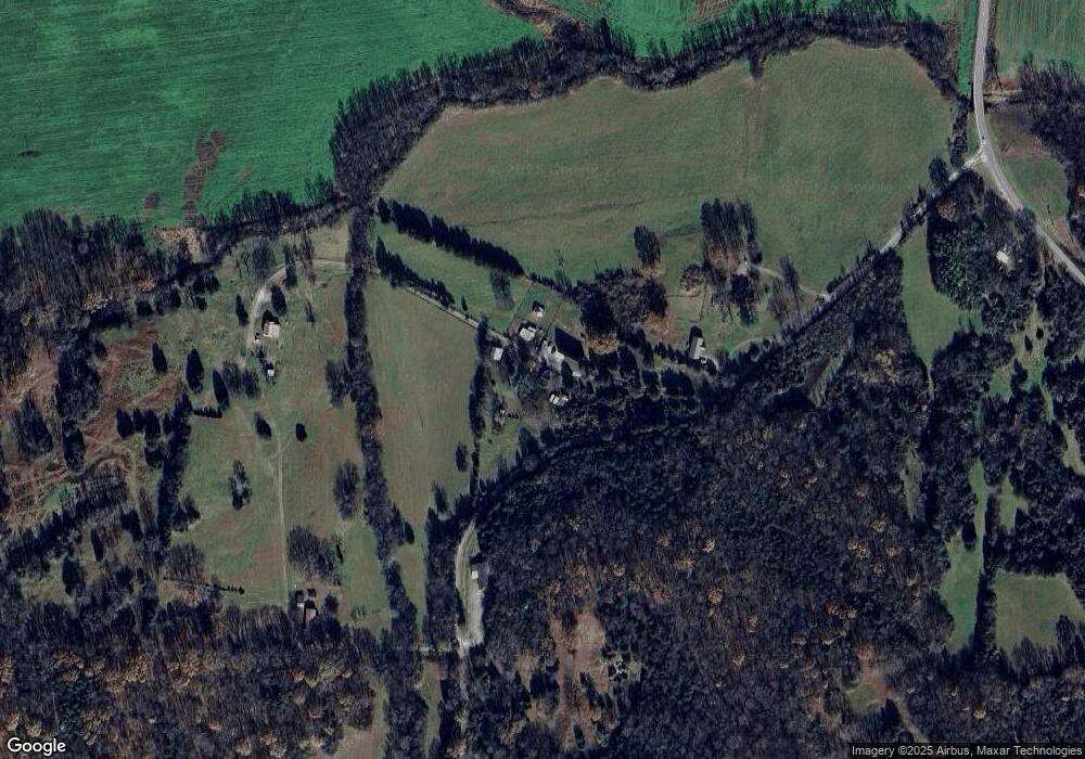
620 Vincent Rd Pulaski, TN 38478
Estimated Value: $72,908 - $170,000
--
Bed
--
Bath
748
Sq Ft
$174/Sq Ft
Est. Value
About This Home
This home is located at 620 Vincent Rd, Pulaski, TN 38478 and is currently estimated at $130,477, approximately $174 per square foot. 620 Vincent Rd is a home with nearby schools including Pulaski Elementary School, Southside Elementary School, and Bridgeforth Middle School.
Ownership History
Date
Name
Owned For
Owner Type
Purchase Details
Closed on
Nov 17, 2021
Sold by
Vincent Benjamin F
Bought by
Walls Bob
Current Estimated Value
Purchase Details
Closed on
Sep 28, 2004
Sold by
Vincent Benjamin F
Bought by
Vincent Benjamin F
Purchase Details
Closed on
Jan 22, 1997
Sold by
Vincent Benjamine F
Bought by
Presswood Bill
Purchase Details
Closed on
Apr 15, 1985
Bought by
Vincent Benjamine F and Ella Mae
Purchase Details
Closed on
Nov 13, 1980
Bought by
Vincent Benjamine F and Ella Mae
Purchase Details
Closed on
Jan 1, 1980
Purchase Details
Closed on
Nov 26, 1975
Purchase Details
Closed on
Jan 2, 1968
Purchase Details
Closed on
Jan 3, 1963
Create a Home Valuation Report for This Property
The Home Valuation Report is an in-depth analysis detailing your home's value as well as a comparison with similar homes in the area
Home Values in the Area
Average Home Value in this Area
Purchase History
| Date | Buyer | Sale Price | Title Company |
|---|---|---|---|
| Walls Bob | -- | None Available | |
| Vincent Benjamin F | -- | -- | |
| Presswood Bill | $5,000 | -- | |
| Vincent Benjamine F | -- | -- | |
| Vincent Benjamine F | -- | -- | |
| -- | $2,000 | -- | |
| -- | -- | -- | |
| -- | -- | -- | |
| -- | -- | -- |
Source: Public Records
Tax History Compared to Growth
Tax History
| Year | Tax Paid | Tax Assessment Tax Assessment Total Assessment is a certain percentage of the fair market value that is determined by local assessors to be the total taxable value of land and additions on the property. | Land | Improvement |
|---|---|---|---|---|
| 2024 | $281 | $14,150 | $8,550 | $5,600 |
| 2023 | $281 | $14,150 | $8,550 | $5,600 |
| 2022 | $281 | $14,150 | $8,550 | $5,600 |
| 2021 | $227 | $8,025 | $3,525 | $4,500 |
| 2020 | $227 | $8,025 | $3,525 | $4,500 |
| 2019 | $227 | $8,025 | $3,525 | $4,500 |
| 2018 | $227 | $8,025 | $3,525 | $4,500 |
| 2017 | $227 | $8,025 | $3,525 | $4,500 |
| 2016 | $276 | $9,300 | $3,775 | $5,525 |
| 2015 | $258 | $9,300 | $3,775 | $5,525 |
| 2014 | $106 | $3,808 | $0 | $0 |
Source: Public Records
Map
Nearby Homes
- 1081 Donahue Rd
- 221 Fry Ln
- 1749 Bethel Rd
- 2052 Donahue Creek Rd
- 1177 Bethel Rd
- 0 Cedar Place Rd
- 208 John Brownlow Rd
- 1988 Hidden Hills Rd
- 1954 Hidden Hills Rd
- 2200 Crescentview Rd
- 1993 Crooked Hill Rd
- 5 Crooked Hill Rd
- 9 Crooked Hill Rd
- 8 Crooked Hill Rd
- 7 Crooked Hill Rd
- 6 Crooked Hill Rd
- 4 Crooked Hill Rd
- 3 Crooked Hill Rd
- 2 Crooked Hill Rd
- 1 Crooked Hill Rd
