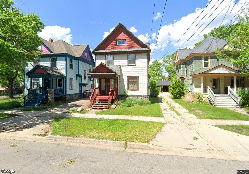
620 W Cedar St Unit 2 Kalamazoo, MI 49007
Vine NeighborhoodEstimated Value: $147,000 - $157,000
2
Beds
1
Bath
750
Sq Ft
$203/Sq Ft
Est. Value
About This Home
This home is located at 620 W Cedar St Unit 2, Kalamazoo, MI 49007 and is currently estimated at $152,187, approximately $202 per square foot. 620 W Cedar St Unit 2 is a home located in Kalamazoo County with nearby schools including Woods Lake Elementary School, Maple Street Magnet School for the Arts, and Loy Norrix High School.
Ownership History
Date
Name
Owned For
Owner Type
Purchase Details
Closed on
Aug 18, 2020
Sold by
Thurn Kerry and Thurn Donna
Bought by
Arend John
Current Estimated Value
Home Financials for this Owner
Home Financials are based on the most recent Mortgage that was taken out on this home.
Original Mortgage
$214,700
Outstanding Balance
$190,099
Interest Rate
2.9%
Mortgage Type
New Conventional
Estimated Equity
-$37,912
Purchase Details
Closed on
Oct 15, 2007
Sold by
Thurn Kerry and Thurn Donna
Bought by
City Of Kalamazoo
Purchase Details
Closed on
Oct 16, 2006
Sold by
Thurn Kerry and Thurn Donna
Bought by
City Of Kalamazoo
Purchase Details
Closed on
Oct 16, 2004
Sold by
Thurn Kerry and Thurn Donna
Bought by
City Of Kalamazoo
Purchase Details
Closed on
Oct 16, 2003
Sold by
Carlson Wade
Bought by
City Of Kalamazoo
Create a Home Valuation Report for This Property
The Home Valuation Report is an in-depth analysis detailing your home's value as well as a comparison with similar homes in the area
Home Values in the Area
Average Home Value in this Area
Purchase History
| Date | Buyer | Sale Price | Title Company |
|---|---|---|---|
| Arend John | $36,256 | Chicago Title Of Mi Inc | |
| City Of Kalamazoo | -- | None Available | |
| City Of Kalamazoo | -- | None Available | |
| City Of Kalamazoo | -- | -- | |
| City Of Kalamazoo | -- | -- |
Source: Public Records
Mortgage History
| Date | Status | Borrower | Loan Amount |
|---|---|---|---|
| Open | Arend John | $214,700 |
Source: Public Records
Tax History Compared to Growth
Tax History
| Year | Tax Paid | Tax Assessment Tax Assessment Total Assessment is a certain percentage of the fair market value that is determined by local assessors to be the total taxable value of land and additions on the property. | Land | Improvement |
|---|---|---|---|---|
| 2025 | $1,560 | $68,100 | $0 | $0 |
| 2024 | $718 | $61,600 | $0 | $0 |
| 2023 | $684 | $53,800 | $0 | $0 |
| 2022 | $1,530 | $46,000 | $0 | $0 |
| 2021 | $1,372 | $41,900 | $0 | $0 |
| 2020 | $1,349 | $37,400 | $0 | $0 |
| 2019 | $1,490 | $31,400 | $0 | $0 |
| 2018 | $1,387 | $27,900 | $0 | $0 |
| 2017 | $1,281 | $26,300 | $0 | $0 |
| 2016 | $1,281 | $23,800 | $0 | $0 |
| 2015 | $1,281 | $23,900 | $0 | $0 |
| 2014 | $1,281 | $23,500 | $0 | $0 |
Source: Public Records
Map
Nearby Homes
- 424 Oak St
- 718 W Cedar St
- 509 Oak St
- 527 W Cedar St
- 515 Locust St
- 521 Pearl St
- 415 Davis St
- 471 W South St Unit 207
- 471 W South St Unit 105
- 612 Oak St
- 416 Bellevue Place
- 9882 W South St
- 935 W Lovell St
- 415 W Walnut St
- 637 Davis St
- 415 Oakland Dr
- 127 Elm St
- 915 Walwood Place
- 911 W Vine St
- 824 S Westnedge Ave