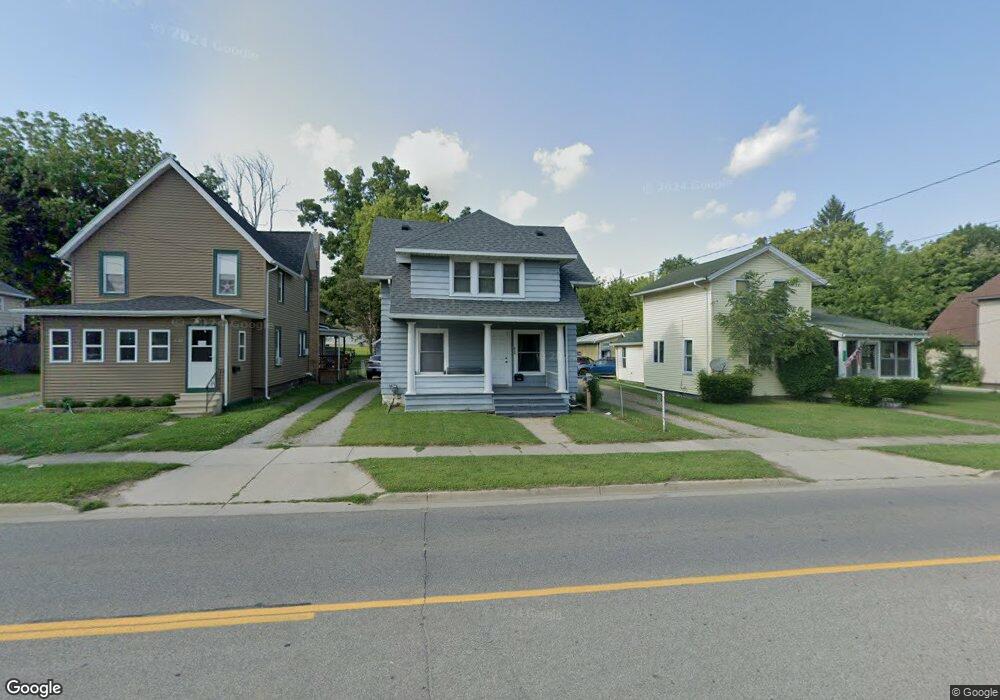
620 W Ganson St Jackson, MI 49201
Bennett NeighborhoodEstimated Value: $107,000 - $121,465
3
Beds
1
Bath
1,200
Sq Ft
$93/Sq Ft
Est. Value
About This Home
This home is located at 620 W Ganson St, Jackson, MI 49201 and is currently estimated at $111,616, approximately $93 per square foot. 620 W Ganson St is a home located in Jackson County with nearby schools including Hunt Elementary School, Middle School at Parkside, and Jackson High School.
Ownership History
Date
Name
Owned For
Owner Type
Purchase Details
Closed on
Jul 10, 2001
Sold by
Dolph Doran J and D0lph Lisa V
Bought by
Moore Richard
Current Estimated Value
Home Financials for this Owner
Home Financials are based on the most recent Mortgage that was taken out on this home.
Original Mortgage
$41,250
Interest Rate
6.82%
Mortgage Type
Purchase Money Mortgage
Purchase Details
Closed on
Nov 8, 1999
Sold by
Hud
Bought by
Dolph Doran J and Dolph Lisa V
Purchase Details
Closed on
Feb 10, 1999
Sold by
Union Fsb Of Indianapolis
Bought by
Hud
Create a Home Valuation Report for This Property
The Home Valuation Report is an in-depth analysis detailing your home's value as well as a comparison with similar homes in the area
Home Values in the Area
Average Home Value in this Area
Purchase History
| Date | Buyer | Sale Price | Title Company |
|---|---|---|---|
| Moore Richard | $55,000 | -- | |
| Dolph Doran J | $24,013 | -- | |
| Hud | -- | -- |
Source: Public Records
Mortgage History
| Date | Status | Borrower | Loan Amount |
|---|---|---|---|
| Closed | Moore Richard | $41,250 | |
| Closed | Moore Richard | $11,000 |
Source: Public Records
Tax History Compared to Growth
Tax History
| Year | Tax Paid | Tax Assessment Tax Assessment Total Assessment is a certain percentage of the fair market value that is determined by local assessors to be the total taxable value of land and additions on the property. | Land | Improvement |
|---|---|---|---|---|
| 2025 | $1,195 | $52,900 | $0 | $0 |
| 2024 | $975 | $49,700 | $0 | $0 |
| 2023 | $939 | $43,800 | $0 | $0 |
| 2022 | $1,152 | $37,800 | $0 | $0 |
| 2021 | $1,152 | $34,500 | $0 | $0 |
| 2020 | $1,081 | $33,200 | $0 | $0 |
| 2019 | $1,049 | $26,450 | $0 | $0 |
| 2018 | $990 | $25,050 | $0 | $0 |
| 2017 | $885 | $23,550 | $0 | $0 |
| 2016 | $718 | $26,000 | $26,000 | $0 |
| 2015 | $821 | $23,300 | $23,300 | $0 |
| 2014 | $821 | $20,950 | $20,950 | $0 |
| 2013 | -- | $20,950 | $20,950 | $0 |
Source: Public Records
Map
Nearby Homes
- 612 Bush St
- 613 Backus St
- 713 Webb St
- 521 Oakhill Ave
- 515 W Trail St
- 611 Steward Ave
- 623 Steward Ave
- 828 Backus St
- 503 W Trail St
- 419 W Ganson St
- 606 Center St
- 836 Lincoln St
- 536 Lansing Ave
- 804 Hibbard Ave
- 314 W Ganson St
- 313 Taylor St
- 308 W Ganson St
- 916 Wildwood Ave
- 920 Wildwood Ave
- 0 Lansing Ave Unit 21038028