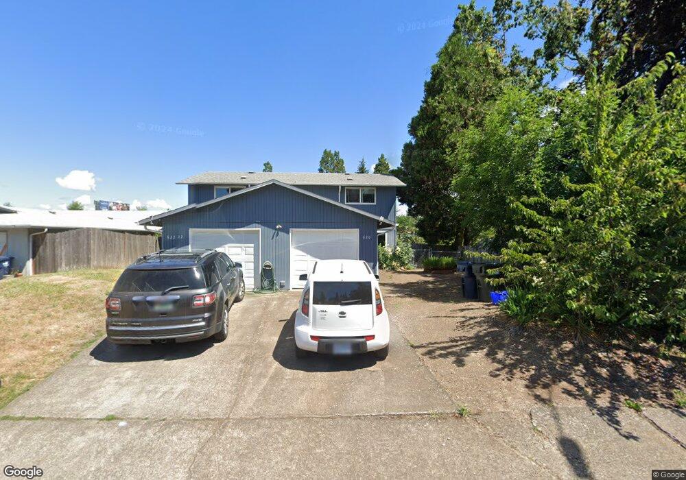
620 W Quinalt St Springfield, OR 97477
West Springfield NeighborhoodEstimated Value: $272,584 - $418,000
4
Beds
4
Baths
1,920
Sq Ft
$165/Sq Ft
Est. Value
About This Home
This home is located at 620 W Quinalt St, Springfield, OR 97477 and is currently estimated at $317,646, approximately $165 per square foot. 620 W Quinalt St is a home located in Lane County with nearby schools including Centennial Elementary School, Hamlin Middle School, and Springfield High School.
Ownership History
Date
Name
Owned For
Owner Type
Purchase Details
Closed on
Sep 15, 2025
Sold by
Trust Of Robert I And Joann K Ellis and Johnson Sondra M
Bought by
Generational Investments Llc
Current Estimated Value
Home Financials for this Owner
Home Financials are based on the most recent Mortgage that was taken out on this home.
Original Mortgage
$275,000
Outstanding Balance
$275,000
Interest Rate
6.72%
Mortgage Type
Construction
Estimated Equity
$42,646
Create a Home Valuation Report for This Property
The Home Valuation Report is an in-depth analysis detailing your home's value as well as a comparison with similar homes in the area
Home Values in the Area
Average Home Value in this Area
Purchase History
| Date | Buyer | Sale Price | Title Company |
|---|---|---|---|
| Generational Investments Llc | $275,000 | First American Title |
Source: Public Records
Mortgage History
| Date | Status | Borrower | Loan Amount |
|---|---|---|---|
| Open | Generational Investments Llc | $275,000 |
Source: Public Records
Tax History
| Year | Tax Paid | Tax Assessment Tax Assessment Total Assessment is a certain percentage of the fair market value that is determined by local assessors to be the total taxable value of land and additions on the property. | Land | Improvement |
|---|---|---|---|---|
| 2025 | $3,873 | $211,181 | -- | -- |
| 2024 | $3,810 | $205,031 | -- | -- |
| 2023 | $3,810 | $199,060 | $0 | $0 |
| 2022 | $3,529 | $193,263 | $0 | $0 |
| 2021 | $3,465 | $187,634 | $0 | $0 |
| 2020 | $3,364 | $182,169 | $0 | $0 |
| 2019 | $3,263 | $176,864 | $0 | $0 |
| 2018 | $3,076 | $166,712 | $0 | $0 |
| 2017 | $2,958 | $166,712 | $0 | $0 |
| 2016 | $2,895 | $161,856 | $0 | $0 |
| 2015 | $2,813 | $157,142 | $0 | $0 |
| 2014 | $2,770 | $152,565 | $0 | $0 |
Source: Public Records
Map
Nearby Homes
- 485 Scotts Glen Dr
- 535 Pacific Ave
- 804 W N St
- 364 Scotts Glen Dr
- 451 Lochaven Ave
- 428 W Centennial Blvd
- 2150 Laura St Unit 119
- 2150 Laura St Unit 111
- 2150 Laura St Unit 39
- 2150 Laura St Unit 57
- 2150 Laura St Unit 83
- 2150 Laura St Unit 44
- 2150 Laura (#57) St Unit 57
- 898 Lochaven Ave
- 77 Shady Loop
- 952 Summit Blvd
- 930 Prescott Ln
- 126 Woodlane Dr
- 1074 Hamilton St
- 40 Allen Ave
- 634 W Quinalt St
- 636 W Quinalt St
- 621 W Quinalt St
- 631 W Quinalt St
- 652 W Quinalt St
- 677 W Quinalt St
- 664 W Quinalt St
- 645 W Quinalt St
- 671 W Quinalt St
- 672 W Quinalt St
- 681 W Quinalt St
- 665 W Quinalt St
- 674 W Quinalt St
- 687 W Quinalt St
- 684 W Quinalt St
- 691 W Quinalt St
- 658 W Fairview Dr
- 680 W Fairview Dr
- 712 W Quinalt St
- 695 W Quinalt St
Your Personal Tour Guide
Ask me questions while you tour the home.