6200 Walnut Landing Rd Rock Hall, MD 21661
Estimated Value: $583,983
--
Bed
--
Bath
--
Sq Ft
52.73
Acres
About This Home
This home is located at 6200 Walnut Landing Rd, Rock Hall, MD 21661 and is currently estimated at $583,983. 6200 Walnut Landing Rd is a home located in Kent County with nearby schools including Center for Innovation, Kent County Middle School, and Kent County High School.
Ownership History
Date
Name
Owned For
Owner Type
Purchase Details
Closed on
Nov 12, 2021
Sold by
Swan Haven Farm Llc
Bought by
Musumeci Farms Llc
Current Estimated Value
Purchase Details
Closed on
Feb 27, 2012
Sold by
Swan Haven Farm Llc
Bought by
Shawn Haven Farm Llc
Purchase Details
Closed on
Jan 25, 2010
Sold by
Spring Cove Farm Llc
Bought by
Swan Haven Farm Llc
Purchase Details
Closed on
Mar 23, 1999
Sold by
Tucker Mary M Trustee
Bought by
Spring Cove Farm Llc
Purchase Details
Closed on
Mar 12, 1997
Sold by
Tucker S Robert Etals
Bought by
Tucker Mary M Trustee
Purchase Details
Closed on
Oct 5, 1995
Sold by
Tucker S Robert Etals
Bought by
Tucker S Robert Etals
Purchase Details
Closed on
Jun 17, 1994
Sold by
Tucker S Robert Etals
Bought by
Tucker S Robert Etals
Create a Home Valuation Report for This Property
The Home Valuation Report is an in-depth analysis detailing your home's value as well as a comparison with similar homes in the area
Home Values in the Area
Average Home Value in this Area
Purchase History
| Date | Buyer | Sale Price | Title Company |
|---|---|---|---|
| Musumeci Farms Llc | $500,000 | First American Title | |
| Shawn Haven Farm Llc | -- | None Available | |
| Swan Haven Farm Llc | $690,000 | -- | |
| Spring Cove Farm Llc | $399,492 | -- | |
| Tucker Mary M Trustee | -- | -- | |
| Tucker S Robert Etals | -- | -- | |
| Tucker S Robert Etals | -- | -- |
Source: Public Records
Tax History Compared to Growth
Tax History
| Year | Tax Paid | Tax Assessment Tax Assessment Total Assessment is a certain percentage of the fair market value that is determined by local assessors to be the total taxable value of land and additions on the property. | Land | Improvement |
|---|---|---|---|---|
| 2025 | $5,508 | $485,733 | $0 | $0 |
| 2024 | $5,502 | $485,200 | $479,200 | $6,000 |
| 2023 | $5,450 | $485,033 | $0 | $0 |
| 2022 | $5,450 | $484,867 | $0 | $0 |
| 2021 | $5,496 | $484,700 | $479,200 | $5,500 |
| 2020 | $5,496 | $484,700 | $479,200 | $5,500 |
| 2019 | $5,496 | $484,700 | $479,200 | $5,500 |
| 2018 | $5,496 | $484,700 | $479,200 | $5,500 |
| 2017 | $5,496 | $484,700 | $0 | $0 |
| 2016 | -- | $484,700 | $0 | $0 |
| 2015 | -- | $494,700 | $0 | $0 |
| 2014 | $5,829 | $494,700 | $0 | $0 |
Source: Public Records
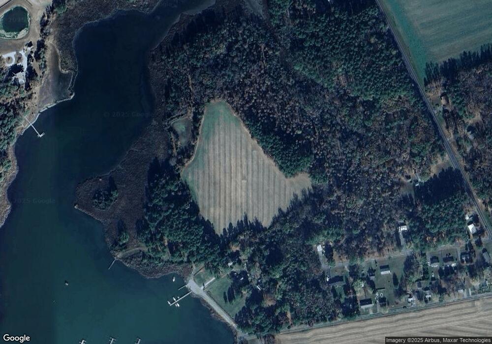
Map
Nearby Homes
- 6119 New St Unit 2
- 21305 Haven Rd
- 21336 Haven Rd
- 5898 Williams St
- 5791 S Hawthorne Ave
- 5829 N Main St
- 5750 Walnut St
- 20725 Wilkins Ave
- #2 Lawton Ave
- 21119 Striper Run
- 21133 Striper Run
- 21131 Striper Run
- 5980 Lawton Ave
- 21139 Striper Run
- 21141 Striper Run
- 5697 Walnut St
- 21332 E Sharp St
- 21090 W Sharp St Unit 133
- 21090 W Sharp St Unit 112
- 5686 S Main St
- 0 Carter Ave Unit 1006340446
- 0 Carter Ave Unit KE9940134
- 0 Carter Ave Unit 1000083683
- 0 Carter Ave Unit 1001838482
- 0 Carter Ave Unit 1000084153
- 21090 Carter Ave
- 6193 Walnut Landing Rd
- 21060 Spring Cove Rd
- 0 Lot 18 Carter Ave Unit MDKE2001846
- 21115 Carter Ave
- 6240 Tolchester Rd
- 21130 Carter Ave
- 21105 Carter Ave
- 6281 Tolchester Rd
- 21109 Carter Ave
- 21121 Carter Ave
- 21100 Spring Cove Rd
- Lot 18 Carter Ave
- 21150 Carter Ave