6201 Cedar Brook Dr Cedar Hill, MO 63016
Estimated Value: $192,000 - $256,000
2
Beds
2
Baths
1,129
Sq Ft
$195/Sq Ft
Est. Value
About This Home
This home is located at 6201 Cedar Brook Dr, Cedar Hill, MO 63016 and is currently estimated at $220,599, approximately $195 per square foot. 6201 Cedar Brook Dr is a home located in Jefferson County with nearby schools including Northwest High School.
Ownership History
Date
Name
Owned For
Owner Type
Purchase Details
Closed on
Oct 16, 2002
Sold by
Broy William P and Broy Laura A
Bought by
Broy William P and Broy Laura A
Current Estimated Value
Home Financials for this Owner
Home Financials are based on the most recent Mortgage that was taken out on this home.
Original Mortgage
$126,500
Outstanding Balance
$52,219
Interest Rate
5.95%
Estimated Equity
$168,380
Purchase Details
Closed on
Jul 31, 2001
Sold by
Dixon Lonny W and Dixon Margaret
Bought by
Broy William P and Reed Laura A
Home Financials for this Owner
Home Financials are based on the most recent Mortgage that was taken out on this home.
Original Mortgage
$119,700
Interest Rate
7.14%
Purchase Details
Closed on
Jul 12, 2000
Sold by
Henry Hanback and Henry Bernice
Bought by
Dixon Lonny W
Home Financials for this Owner
Home Financials are based on the most recent Mortgage that was taken out on this home.
Original Mortgage
$110,000
Interest Rate
8.36%
Create a Home Valuation Report for This Property
The Home Valuation Report is an in-depth analysis detailing your home's value as well as a comparison with similar homes in the area
Purchase History
| Date | Buyer | Sale Price | Title Company |
|---|---|---|---|
| Broy William P | -- | -- | |
| Broy William P | -- | Commonwealth Title | |
| Dixon Lonny W | -- | First American Title |
Source: Public Records
Mortgage History
| Date | Status | Borrower | Loan Amount |
|---|---|---|---|
| Open | Broy William P | $126,500 | |
| Closed | Broy William P | $119,700 | |
| Previous Owner | Dixon Lonny W | $110,000 |
Source: Public Records
Tax History
| Year | Tax Paid | Tax Assessment Tax Assessment Total Assessment is a certain percentage of the fair market value that is determined by local assessors to be the total taxable value of land and additions on the property. | Land | Improvement |
|---|---|---|---|---|
| 2025 | $1,447 | $20,700 | $2,700 | $18,000 |
| 2024 | $1,447 | $19,100 | $2,700 | $16,400 |
| 2023 | $1,447 | $19,100 | $2,700 | $16,400 |
| 2022 | $1,441 | $19,100 | $2,700 | $16,400 |
| 2021 | $1,427 | $19,100 | $2,700 | $16,400 |
| 2020 | $1,309 | $17,000 | $2,500 | $14,500 |
| 2019 | $1,309 | $17,000 | $2,500 | $14,500 |
| 2018 | $1,305 | $17,000 | $2,500 | $14,500 |
| 2017 | $1,243 | $17,000 | $2,500 | $14,500 |
| 2016 | $1,156 | $15,800 | $2,500 | $13,300 |
Source: Public Records
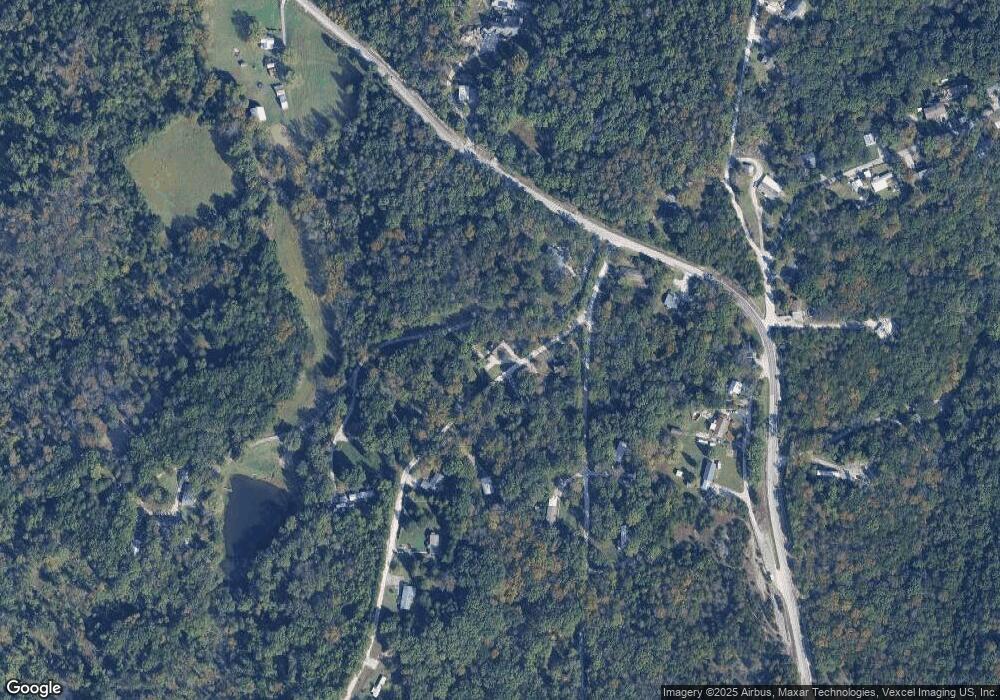
Map
Nearby Homes
- 6207 Cedar Brook Dr
- 8911 Kitson Ln
- 0 Terri Hill Dr
- 0 Land B Deer Run Rd
- 0 Land A Deer Run Rd
- 69 Cedar Hill Estates Unit C-47
- 7016 Oakwood Dr
- 7205 Lakeshore Dr
- 7218 Lakeshore Dr
- 6105 Eime Rd
- 6566 Cedar Hill Rd
- 6127 Barrington Oaks Dr
- 8405 Midway Dr
- 7320 Woodland Dr
- 7322 Springdale
- 0 Lakeshore Dr
- 8353 Graham Rd
- 0 Twin Ridge Rd
- 5450 Dutch Creek Rd
- 7363 Burgess Ford Rd
- 6202 Cedar Brook Dr
- 6200 Cedar Brook Dr
- 0 Cedar Brook Unit 90049547
- 8 Lot 8 Cedarbrook Estates
- 8 Lot Cedarbrook
- 9050 Highway Nn
- 6206 Cedar Brook Dr
- 6310 Cedar Brook Dr
- 6309 Cedar Brook Dr
- 6315 Cedar Brook Dr
- 6212 Cedar Brook Dr
- 9018 State Road Nn
- 9018 Highway Nn
- 6385 Cedar Dr
- 9085 Maple Dr
- 6303 Cedar Brook Dr
- 6303 Cedar Brook
- 9002 Highway Nn
- 6218 Cedar Brook Dr
- 9089 Maple Dr
Your Personal Tour Guide
Ask me questions while you tour the home.