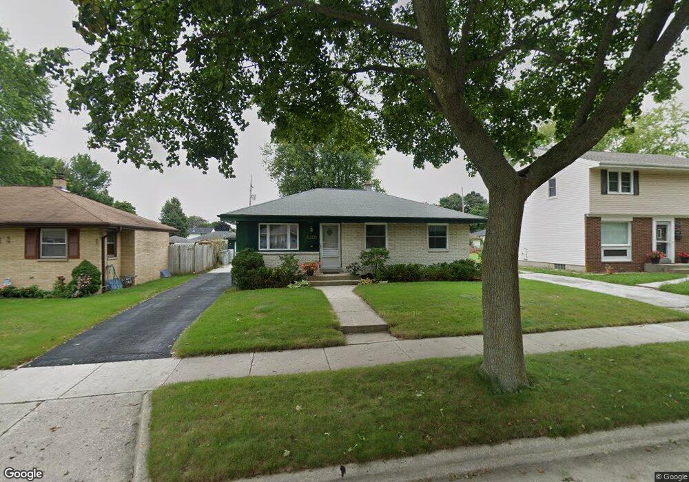
6201 W Hustis St Milwaukee, WI 53223
Menomonee River Hills East NeighborhoodEstimated Value: $188,000 - $218,000
3
Beds
2
Baths
1,006
Sq Ft
$200/Sq Ft
Est. Value
About This Home
This home is located at 6201 W Hustis St, Milwaukee, WI 53223 and is currently estimated at $201,671, approximately $200 per square foot. 6201 W Hustis St is a home located in Milwaukee County with nearby schools including Barton Elementary School, Craig Montessori School, and Milwaukee German Immersion School.
Ownership History
Date
Name
Owned For
Owner Type
Purchase Details
Closed on
Nov 25, 1996
Sold by
Booth Edwin H and Booth Nancy V
Bought by
Delaurier Douglas R
Current Estimated Value
Home Financials for this Owner
Home Financials are based on the most recent Mortgage that was taken out on this home.
Original Mortgage
$60,800
Outstanding Balance
$6,125
Interest Rate
7.6%
Mortgage Type
Purchase Money Mortgage
Estimated Equity
$195,546
Create a Home Valuation Report for This Property
The Home Valuation Report is an in-depth analysis detailing your home's value as well as a comparison with similar homes in the area
Home Values in the Area
Average Home Value in this Area
Purchase History
| Date | Buyer | Sale Price | Title Company |
|---|---|---|---|
| Delaurier Douglas R | $64,000 | -- |
Source: Public Records
Mortgage History
| Date | Status | Borrower | Loan Amount |
|---|---|---|---|
| Open | Delaurier Douglas R | $60,800 |
Source: Public Records
Tax History Compared to Growth
Tax History
| Year | Tax Paid | Tax Assessment Tax Assessment Total Assessment is a certain percentage of the fair market value that is determined by local assessors to be the total taxable value of land and additions on the property. | Land | Improvement |
|---|---|---|---|---|
| 2024 | $3,111 | $151,700 | $9,000 | $142,700 |
| 2023 | $3,145 | $133,100 | $9,000 | $124,100 |
| 2022 | $2,854 | $133,100 | $9,000 | $124,100 |
| 2021 | $2,404 | $103,500 | $9,000 | $94,500 |
| 2020 | $2,450 | $103,500 | $9,000 | $94,500 |
| 2019 | $2,212 | $93,800 | $9,000 | $84,800 |
| 2018 | $2,197 | $93,800 | $9,000 | $84,800 |
| 2017 | $2,133 | $85,600 | $10,600 | $75,000 |
| 2016 | $2,136 | $82,000 | $10,600 | $71,400 |
| 2015 | $2,195 | $82,000 | $10,600 | $71,400 |
| 2014 | $2,241 | $82,000 | $10,600 | $71,400 |
| 2013 | -- | $82,000 | $10,600 | $71,400 |
Source: Public Records
Map
Nearby Homes
- 6125 W Hustis St
- 6522 W Spokane St
- 6954 N Raintree Dr Unit C
- 5431 W Green Tree Rd
- 6535 N 55th St Unit 6537
- 7016 N 76th St
- 6728 N 52nd St
- 7213 W Cody Cir
- 6587 N 73rd St Unit 6589
- 7020 W Mill Rd
- 7140 N 48th St
- 6541 N 73rd St Unit 6543
- 5401 W Portage Ave
- 7507 N 53rd St
- 5315 W Portage Ave
- 4512 W Green Tree Rd
- 7707 W Hustis St
- 7731 N 60th St Unit G
- 5501 W Spring Ln
- 5306 W Calumet Rd
- 6209 W Hustis St
- 6131 W Hustis St
- 6215 W Hustis St
- 6200 W Spokane St
- 6206 W Spokane St
- 6130 W Spokane St
- 6223 W Hustis St
- 6117 W Hustis St
- 6214 W Spokane St
- 6124 W Spokane St
- 6200 W Hustis St
- 6208 W Hustis St
- 6130 W Hustis St
- 6222 W Spokane St
- 6231 W Hustis St
- 6111 W Hustis St
- 6214 W Hustis St
- 6124 W Hustis St
- 6222 W Hustis St
- 6228 W Spokane St