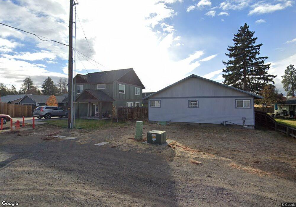
62034 Dean Swift Rd Bend, OR 97701
Larkspur NeighborhoodEstimated Value: $489,000 - $626,000
4
Beds
4
Baths
2,038
Sq Ft
$282/Sq Ft
Est. Value
About This Home
This home is located at 62034 Dean Swift Rd, Bend, OR 97701 and is currently estimated at $575,091, approximately $282 per square foot. 62034 Dean Swift Rd is a home located in Deschutes County with nearby schools including Bear Creek Elementary School, Bend Senior High School, and Eastmont Community School.
Ownership History
Date
Name
Owned For
Owner Type
Purchase Details
Closed on
Jan 3, 2023
Sold by
Marken Robert E
Bought by
Terradoma Properties Llc
Current Estimated Value
Purchase Details
Closed on
Mar 5, 2008
Sold by
Marken Kimberly A
Bought by
Marken Robert E
Purchase Details
Closed on
Oct 27, 2005
Sold by
Ewell Terry L and Ewell Patricia A
Bought by
Marken Robert E and Marken Kimberly A
Purchase Details
Closed on
Dec 15, 2004
Sold by
Kristiansen Nils and Kristiansen Dianne
Bought by
Ewell Terry L and Ewell Patricia A
Create a Home Valuation Report for This Property
The Home Valuation Report is an in-depth analysis detailing your home's value as well as a comparison with similar homes in the area
Home Values in the Area
Average Home Value in this Area
Purchase History
| Date | Buyer | Sale Price | Title Company |
|---|---|---|---|
| Terradoma Properties Llc | -- | Accommodation/Courtesy Recordi | |
| Marken Robert E | -- | First Amer Title Ins Co Or | |
| Marken Robert E | -- | Amerititle | |
| Ewell Terry L | $25,000 | Amerititle |
Source: Public Records
Tax History Compared to Growth
Tax History
| Year | Tax Paid | Tax Assessment Tax Assessment Total Assessment is a certain percentage of the fair market value that is determined by local assessors to be the total taxable value of land and additions on the property. | Land | Improvement |
|---|---|---|---|---|
| 2025 | $4,798 | $283,970 | -- | -- |
| 2024 | $4,616 | $275,700 | -- | -- |
| 2023 | $4,279 | $267,670 | $0 | $0 |
| 2022 | $3,992 | $252,320 | $0 | $0 |
| 2021 | $3,999 | $244,980 | $0 | $0 |
| 2020 | $3,794 | $244,980 | $0 | $0 |
| 2019 | $3,688 | $237,850 | $0 | $0 |
| 2018 | $3,584 | $230,930 | $0 | $0 |
| 2017 | $3,479 | $224,210 | $0 | $0 |
| 2016 | $3,318 | $217,680 | $0 | $0 |
| 2015 | $3,226 | $211,340 | $0 | $0 |
| 2014 | $3,131 | $205,190 | $0 | $0 |
Source: Public Records
Map
Nearby Homes
- 21019 Carl St
- 62025 NE Nate's Place
- 62001 NE Nates Place
- 98 NE Telima Ln
- 61969 SE 27th St
- 940 NE Purcell Blvd
- 940 NE Paula Dr Unit 21
- 61635 Pettigrew Rd Unit 12
- 61839 Avonlea Cir
- 61847 SE 27th St
- 61807 SE Rolo Ct
- 61839 SE 27th St
- 21489 Oconnor Way Unit 17
- 21493 Oconnor Way Unit 15
- 21491 Oconnor Way Unit 16
- 21495 Oconnor Way Unit 14
- 21323 Oconnor Way
- 1072 NE Parkview Ct
- 62085 Wolcott Place
- 2876 NE Forum Dr
- 62032 Dean Swift Rd
- 21045 Don St
- 21043 Don St
- 62030 Dean Swift Rd
- 21047 Don St
- 21049 Don St
- 62024 Dean Swift Rd
- 21041 Don St
- 62049 Dean Swift Rd
- 21055 Don St
- 62043 Dean Swift Rd
- 62043 Dean Swift Rd Unit A&B
- 21065 Don St
- 0 Dean Swift Rd
- 21063 Don St
- 21035 Carl St
- 21034 Damascus Ln
- 21033 Damascus Ln
- 61976 NE Nates Place
- 21067 Don St