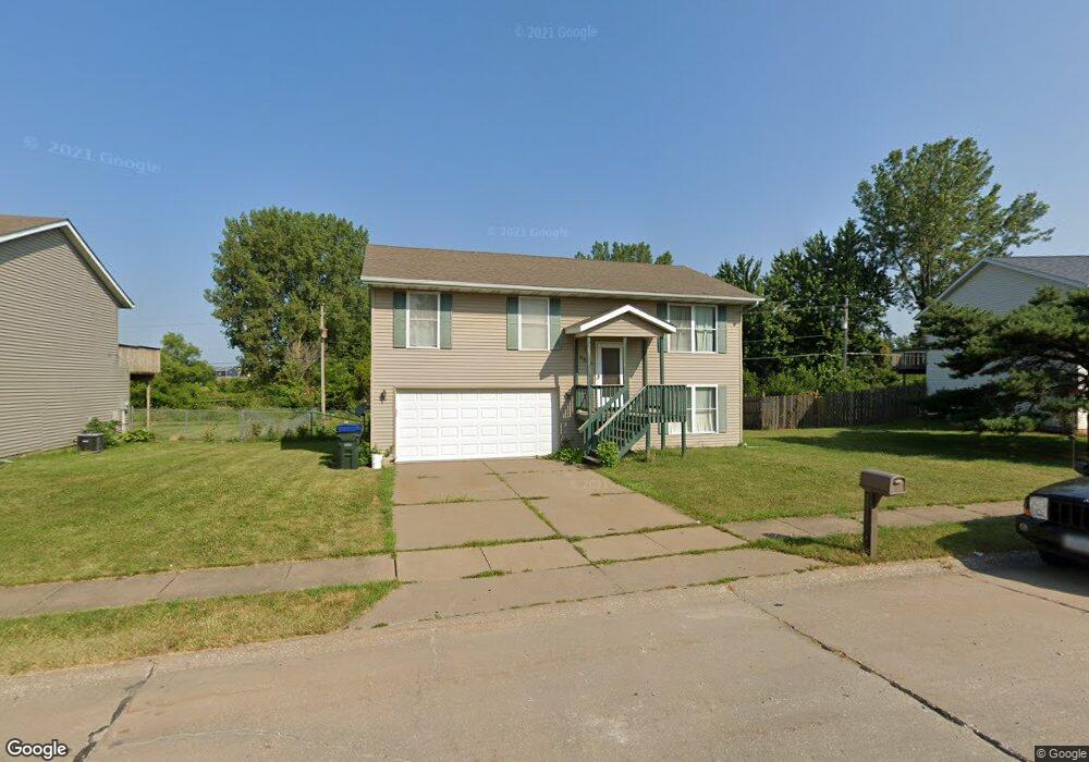
6204 Appomattox Rd Davenport, IA 52806
North Side NeighborhoodEstimated Value: $184,000 - $191,000
3
Beds
2
Baths
1,120
Sq Ft
$167/Sq Ft
Est. Value
About This Home
This home is located at 6204 Appomattox Rd, Davenport, IA 52806 and is currently estimated at $187,213, approximately $167 per square foot. 6204 Appomattox Rd is a home located in Scott County with nearby schools including Cumberland Hall School, Academy Of Continuing Education, and Wood Intermediate School.
Ownership History
Date
Name
Owned For
Owner Type
Purchase Details
Closed on
Jan 8, 2007
Sold by
Peck Matthew L and Peck Sarah M
Bought by
Lechvar Zachary L
Current Estimated Value
Home Financials for this Owner
Home Financials are based on the most recent Mortgage that was taken out on this home.
Original Mortgage
$115,940
Outstanding Balance
$69,285
Interest Rate
6.21%
Mortgage Type
VA
Estimated Equity
$117,928
Create a Home Valuation Report for This Property
The Home Valuation Report is an in-depth analysis detailing your home's value as well as a comparison with similar homes in the area
Home Values in the Area
Average Home Value in this Area
Purchase History
| Date | Buyer | Sale Price | Title Company |
|---|---|---|---|
| Lechvar Zachary L | $113,500 | None Available |
Source: Public Records
Mortgage History
| Date | Status | Borrower | Loan Amount |
|---|---|---|---|
| Open | Lechvar Zachary L | $115,940 |
Source: Public Records
Tax History Compared to Growth
Tax History
| Year | Tax Paid | Tax Assessment Tax Assessment Total Assessment is a certain percentage of the fair market value that is determined by local assessors to be the total taxable value of land and additions on the property. | Land | Improvement |
|---|---|---|---|---|
| 2025 | $2,462 | $165,620 | $27,780 | $137,840 |
| 2024 | $2,566 | $156,430 | $27,780 | $128,650 |
| 2023 | $2,811 | $156,430 | $27,780 | $128,650 |
| 2022 | $2,631 | $136,790 | $17,360 | $119,430 |
| 2021 | $2,544 | $130,930 | $17,360 | $113,570 |
| 2020 | $2,352 | $120,390 | $17,360 | $103,030 |
| 2019 | $2,226 | $111,030 | $17,360 | $93,670 |
| 2018 | $2,174 | $111,030 | $17,360 | $93,670 |
| 2017 | $2,256 | $111,030 | $17,360 | $93,670 |
| 2016 | $2,168 | $111,030 | $0 | $0 |
| 2015 | $2,168 | $107,300 | $0 | $0 |
| 2014 | $2,116 | $107,300 | $0 | $0 |
| 2013 | $2,074 | $0 | $0 | $0 |
| 2012 | -- | $113,220 | $18,290 | $94,930 |
Source: Public Records
Map
Nearby Homes
- Lot 26 Benjamin Ct
- 6308 Appomattox Rd
- LOT 54 Franklin Ave
- Lot 56 Franklin Ave
- 6322 Appomattox Rd
- 671 W 64th St
- 665 W 64th St
- 655 W 64th St
- 6015 Vine St
- 6112 Western Ave
- 1301 W 62nd Ct
- 6205 N Ripley St
- 1005 W 58th St
- 1033 W 58th St
- 5804 Lillie Ave
- 5735 Taylor St
- 5721 Taylor St
- 1415 W 59th St
- 6209 Fair Ave
- 6127 Fair Ave
- 6146 Appomattox Rd
- 6208 Appomattox Rd
- 6212 Appomattox Rd
- 6205 Appomattox Rd
- 6143 Appomattox Rd
- 6132 Appomattox Rd
- 6224 Appomattox Rd
- 6224 Appomattox Rd Unit 1
- 6215 Appomattox Rd
- 6226 Appomattox Rd
- 6135 Appomattox Rd
- 917 Franklin Ave
- 6126 Appomattox Rd
- 6219 Appomattox Rd
- 6421 Benjamin Ct
- 6232 Appomattox Rd
- 10 Brown Ct
- 12 Brown Ct
- 6125 Appomattox Rd
- 6118 Appomattox Rd