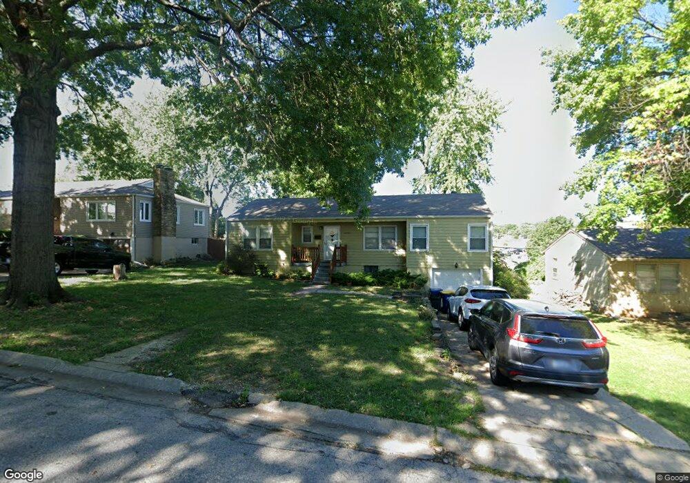
6206 Glenwood Ave Mission, KS 66202
Estimated Value: $295,000 - $308,000
2
Beds
1
Bath
1,212
Sq Ft
$251/Sq Ft
Est. Value
About This Home
This home is located at 6206 Glenwood Ave, Mission, KS 66202 and is currently estimated at $303,833, approximately $250 per square foot. 6206 Glenwood Ave is a home located in Johnson County with nearby schools including Rushton Elementary School, Hocker Grove Middle School, and Shawnee Mission North High School.
Ownership History
Date
Name
Owned For
Owner Type
Purchase Details
Closed on
May 19, 2004
Sold by
Mcgill Norman L and Mcgill Janice L
Bought by
Wilcox Linda E
Current Estimated Value
Home Financials for this Owner
Home Financials are based on the most recent Mortgage that was taken out on this home.
Original Mortgage
$122,550
Outstanding Balance
$58,950
Interest Rate
5.87%
Mortgage Type
Purchase Money Mortgage
Estimated Equity
$244,883
Purchase Details
Closed on
Oct 19, 2003
Sold by
Brannock Bertha
Bought by
Mcgill Janis L and Mcgill Norman L
Create a Home Valuation Report for This Property
The Home Valuation Report is an in-depth analysis detailing your home's value as well as a comparison with similar homes in the area
Home Values in the Area
Average Home Value in this Area
Purchase History
| Date | Buyer | Sale Price | Title Company |
|---|---|---|---|
| Wilcox Linda E | -- | Accurate Title Co Llc | |
| Mcgill Janis L | -- | Security Land Title Company |
Source: Public Records
Mortgage History
| Date | Status | Borrower | Loan Amount |
|---|---|---|---|
| Open | Wilcox Linda E | $122,550 |
Source: Public Records
Tax History Compared to Growth
Tax History
| Year | Tax Paid | Tax Assessment Tax Assessment Total Assessment is a certain percentage of the fair market value that is determined by local assessors to be the total taxable value of land and additions on the property. | Land | Improvement |
|---|---|---|---|---|
| 2024 | $3,790 | $30,222 | $8,214 | $22,008 |
| 2023 | $3,594 | $27,899 | $7,460 | $20,439 |
| 2022 | $3,371 | $26,438 | $6,779 | $19,659 |
| 2021 | $3,054 | $22,356 | $5,653 | $16,703 |
| 2020 | $2,918 | $20,873 | $4,913 | $15,960 |
| 2019 | $2,768 | $19,573 | $3,069 | $16,504 |
| 2018 | $2,516 | $17,261 | $3,069 | $14,192 |
| 2017 | $2,279 | $15,076 | $3,069 | $12,007 |
| 2016 | $2,175 | $14,076 | $3,069 | $11,007 |
| 2015 | $2,070 | $13,294 | $3,069 | $10,225 |
| 2013 | -- | $13,248 | $3,069 | $10,179 |
Source: Public Records
Map
Nearby Homes
- 6130 Riggs Rd
- 6407 W 62nd St
- 6219 W 61st Terrace
- 6108 W 62nd Terrace
- 6800 W 66th St
- 6219 W 65th St
- 6301 Woodson Dr
- 5840 Floyd St
- 6408 Santa fe Dr
- 5612 W 61st Terrace
- 5701 Russell St
- 6710 Broadmoor St
- 6000 Maple St
- 5737 Metcalf Ct Unit 25
- 5729 Dearborn St
- 5702 Metcalf Ct
- 5940 Nall Ave
- 6025 Nall Ave
- 7618 W 59th Terrace Unit 310
- 6620 W 56th St
- 6200 Glenwood Ave
- 6210 Glenwood Ave
- 6210 Glenwood St
- 6218 Glenwood Ave
- 6140 Glenwood Ave
- 6207 Glenwood Ave
- 6211 Glenwood Ave
- 6201 Glenwood Ave
- 6217 Glenwood Ave
- 6138 Glenwood Ave
- 6141 Glenwood Ave
- 6230 Glenwood Ave
- 6225 Glenwood Ave
- 6137 Glenwood Ave
- 6231 Glenwood St
- 6134 Glenwood Ave
- 6231 Glenwood Ave
- 6212 Riggs Rd
- 6206 Riggs Rd
- 6218 Riggs Rd