6206 Sierra Ct Manassas, VA 20111
Signal Hill NeighborhoodEstimated Value: $845,595 - $930,000
4
Beds
3
Baths
2,704
Sq Ft
$325/Sq Ft
Est. Value
About This Home
This home is located at 6206 Sierra Ct, Manassas, VA 20111 and is currently estimated at $878,899, approximately $325 per square foot. 6206 Sierra Ct is a home located in Prince William County with nearby schools including Signal Hill Elementary School, Parkside Middle School, and Osbourn Park High School.
Ownership History
Date
Name
Owned For
Owner Type
Purchase Details
Closed on
Jun 26, 2011
Sold by
Foskett Arthur K and Foskett Kathey J
Bought by
Foskett Arthur K and Foskett Kathey J
Current Estimated Value
Home Financials for this Owner
Home Financials are based on the most recent Mortgage that was taken out on this home.
Original Mortgage
$297,300
Outstanding Balance
$22,420
Interest Rate
4.6%
Mortgage Type
New Conventional
Estimated Equity
$856,479
Create a Home Valuation Report for This Property
The Home Valuation Report is an in-depth analysis detailing your home's value as well as a comparison with similar homes in the area
Home Values in the Area
Average Home Value in this Area
Purchase History
| Date | Buyer | Sale Price | Title Company |
|---|---|---|---|
| Foskett Arthur K | -- | None Available | |
| Foskett Arthur K | -- | None Available |
Source: Public Records
Mortgage History
| Date | Status | Borrower | Loan Amount |
|---|---|---|---|
| Open | Foskett Arthur K | $297,300 | |
| Closed | Foskett Arthur K | $297,300 |
Source: Public Records
Tax History Compared to Growth
Tax History
| Year | Tax Paid | Tax Assessment Tax Assessment Total Assessment is a certain percentage of the fair market value that is determined by local assessors to be the total taxable value of land and additions on the property. | Land | Improvement |
|---|---|---|---|---|
| 2025 | $8,267 | $850,100 | $366,400 | $483,700 |
| 2024 | $8,267 | $831,300 | $359,800 | $471,500 |
| 2023 | $8,603 | $826,800 | $359,800 | $467,000 |
| 2022 | $8,809 | $795,400 | $359,800 | $435,600 |
| 2021 | $9,310 | $768,300 | $359,800 | $408,500 |
| 2020 | $11,265 | $726,800 | $359,800 | $367,000 |
| 2019 | $11,158 | $719,900 | $359,800 | $360,100 |
| 2018 | $7,973 | $660,300 | $350,000 | $310,300 |
| 2017 | $7,750 | $633,200 | $333,600 | $299,600 |
| 2016 | $7,745 | $639,000 | $345,600 | $293,400 |
| 2015 | $7,206 | $590,200 | $317,600 | $272,600 |
| 2014 | $7,206 | $581,200 | $310,700 | $270,500 |
Source: Public Records
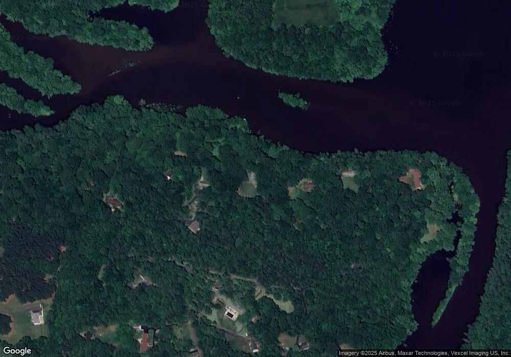
Map
Nearby Homes
- 408 Pullman Place
- 12409 Clifton Hunt Dr
- 7924 Evans Ford Rd
- 10009 Bent Tree Ln
- 6605 Duvon Place
- 12365 Henderson Rd
- 7800 Gold Flint Ct
- 10203 Bent Tree Ln
- 7625 Kincheloe Rd
- 12215 Henderson Rd
- 6634 Davis Ford Rd
- 12421 Henderson Rd
- 13025 Yates Ford Rd
- 10201 Leatherleaf Ct
- 12061 Rose Hall Dr
- 10303 Bear Creek Dr
- 6470 Mckee Way
- 10725 River Run Dr
- 10729 River Run Dr
- 7265 Yola Ln
- 6208 Sierra Ct
- 6204 Sierra Ct
- 6210 Sierra Ct
- 6202 Sierra Ct
- 6207 Sierra Ct
- 9611 Evans Ford Rd
- 6197 Sierra Ct
- 6212 Sierra Ct
- 6211 Sierra Ct
- 6200 Sierra Ct
- 9699 Waterfront Dr
- 6205 Sierra Ct
- 6201 Sierra Ct
- 9702 Waterfront Dr
- 6491 Crigger Point Ct
- 9704 Waterfront Dr
- 9703 Waterfront Dr
- 6203 Sierra Ct
- 6501 Crigger Point Ct
- 9705 Waterfront Dr