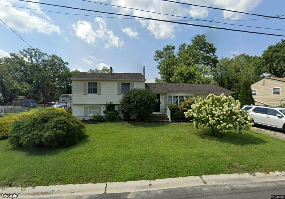
6207 Nelson Ave Mays Landing, NJ 08330
Estimated Value: $322,609 - $373,000
--
Bed
--
Bath
1,870
Sq Ft
$182/Sq Ft
Est. Value
About This Home
This home is located at 6207 Nelson Ave, Mays Landing, NJ 08330 and is currently estimated at $340,402, approximately $182 per square foot. 6207 Nelson Ave is a home located in Atlantic County with nearby schools including Joseph Shaner School, George L. Hess Educational Complex, and William Davies Middle School.
Ownership History
Date
Name
Owned For
Owner Type
Purchase Details
Closed on
Oct 27, 1995
Sold by
Laws William E and Laws Emma R
Bought by
Richards Michael E and Richards Linda L
Current Estimated Value
Create a Home Valuation Report for This Property
The Home Valuation Report is an in-depth analysis detailing your home's value as well as a comparison with similar homes in the area
Home Values in the Area
Average Home Value in this Area
Purchase History
| Date | Buyer | Sale Price | Title Company |
|---|---|---|---|
| Richards Michael E | $110,000 | Citizens Title Ins Agency In |
Source: Public Records
Tax History Compared to Growth
Tax History
| Year | Tax Paid | Tax Assessment Tax Assessment Total Assessment is a certain percentage of the fair market value that is determined by local assessors to be the total taxable value of land and additions on the property. | Land | Improvement |
|---|---|---|---|---|
| 2025 | $5,977 | $174,200 | $39,000 | $135,200 |
| 2024 | $5,977 | $174,200 | $39,000 | $135,200 |
| 2023 | $5,620 | $174,200 | $39,000 | $135,200 |
| 2022 | $5,620 | $174,200 | $39,000 | $135,200 |
| 2021 | $5,608 | $174,200 | $39,000 | $135,200 |
| 2020 | $5,608 | $174,200 | $39,000 | $135,200 |
| 2019 | $5,621 | $174,200 | $39,000 | $135,200 |
| 2018 | $5,425 | $174,200 | $39,000 | $135,200 |
| 2017 | $5,339 | $174,200 | $39,000 | $135,200 |
| 2016 | $5,189 | $174,200 | $39,000 | $135,200 |
| 2015 | $5,013 | $174,200 | $39,000 | $135,200 |
| 2014 | $5,393 | $205,300 | $47,000 | $158,300 |
Source: Public Records
Map
Nearby Homes
- 6314 Lance Ave
- 6301 Knight Ave
- 6310 Phillips Ave
- 6301 Roberts Ave
- 6206 Roberts Ave
- 0 Harding Hwy Unit NJAC2019438
- 0 Harding Hwy Unit 597638
- 6140 Robin Dr
- 37 Delancy Ct
- 150 Rainbow Dr
- 80 Mill St
- 5 Camac Ave
- 6062 Main St
- 715 Park Rd
- 565 Park Rd
- 535 Park Rd
- 850 Morningside Dr
- 955 McGeary Place
- 6015 Main St
- 526 Bainbridge Ave
- 6205 Nelson Ave
- 6209 Nelson Ave
- 6208 Liberty Ave
- 6210 Liberty Ave
- 6206 Liberty Ave
- 6208 Nelson Ave
- 6211 Nelson Ave
- 6203 Nelson Ave
- 6206 Nelson Ave
- 6210 Nelson Ave
- 6212 Liberty Ave
- 6204 Liberty Ave
- 6204 Nelson Ave
- 6212 Nelson Ave
- 6209 Liberty Ave
- 6207 Liberty Ave
- 6207 Oliver Ave
- 6201 Nelson Ave
- 6205 Oliver Ave
- 6205 Liberty Ave