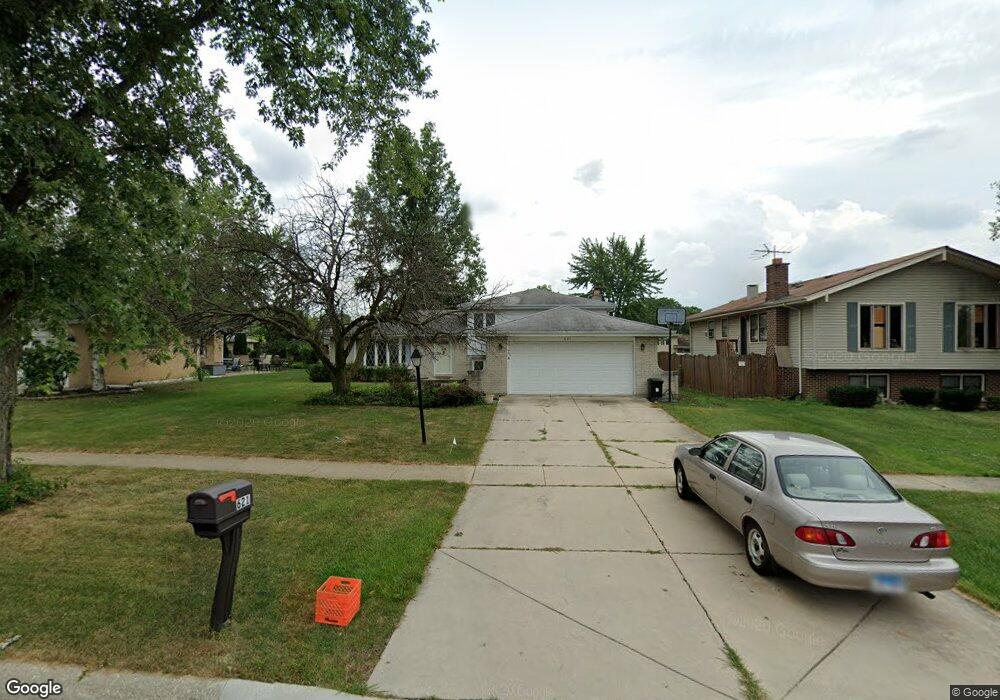
621 79th St Darien, IL 60561
Estimated Value: $400,000 - $441,000
--
Bed
2
Baths
1,300
Sq Ft
$323/Sq Ft
Est. Value
About This Home
This home is located at 621 79th St, Darien, IL 60561 and is currently estimated at $420,099, approximately $323 per square foot. 621 79th St is a home located in DuPage County with nearby schools including Mark Delay School, Lace Elementary School, and Eisenhower Jr High School.
Ownership History
Date
Name
Owned For
Owner Type
Purchase Details
Closed on
Dec 11, 2024
Sold by
Smigielski Dariusz W and Smigielski Joan
Bought by
Smigielski Revocable Living Trust and Smigielski
Current Estimated Value
Purchase Details
Closed on
Oct 25, 1995
Sold by
Phalen Calvin E and Phalen Carol Jean
Bought by
Smigielski Dariusz W and Smigielski Joan
Home Financials for this Owner
Home Financials are based on the most recent Mortgage that was taken out on this home.
Original Mortgage
$126,000
Interest Rate
7%
Create a Home Valuation Report for This Property
The Home Valuation Report is an in-depth analysis detailing your home's value as well as a comparison with similar homes in the area
Home Values in the Area
Average Home Value in this Area
Purchase History
| Date | Buyer | Sale Price | Title Company |
|---|---|---|---|
| Smigielski Revocable Living Trust | -- | None Listed On Document | |
| Smigielski Dariusz W | $196,000 | First American Title |
Source: Public Records
Mortgage History
| Date | Status | Borrower | Loan Amount |
|---|---|---|---|
| Previous Owner | Smigielski Dariusz W | $126,000 |
Source: Public Records
Tax History Compared to Growth
Tax History
| Year | Tax Paid | Tax Assessment Tax Assessment Total Assessment is a certain percentage of the fair market value that is determined by local assessors to be the total taxable value of land and additions on the property. | Land | Improvement |
|---|---|---|---|---|
| 2024 | $7,427 | $123,270 | $54,967 | $68,303 |
| 2023 | $7,148 | $113,320 | $50,530 | $62,790 |
| 2022 | $6,802 | $107,610 | $48,310 | $59,300 |
| 2021 | $6,543 | $106,390 | $47,760 | $58,630 |
| 2020 | $6,454 | $104,280 | $46,810 | $57,470 |
| 2019 | $6,237 | $100,050 | $44,910 | $55,140 |
| 2018 | $6,103 | $98,770 | $44,760 | $54,010 |
| 2017 | $6,041 | $95,040 | $43,070 | $51,970 |
| 2016 | $5,882 | $90,700 | $41,100 | $49,600 |
| 2015 | $5,796 | $85,330 | $38,670 | $46,660 |
| 2014 | $5,919 | $85,870 | $37,600 | $48,270 |
| 2013 | $5,721 | $85,460 | $37,420 | $48,040 |
Source: Public Records
Map
Nearby Homes
- 709 79th St Unit 103
- 709 79th St Unit 307
- 709 79th St Unit 403
- 801 79th St Unit 105
- 7817 Mayfair Ln
- 716 Somerset Ln
- Lot 1, 2, 3, 4 & 5 Nantucket Dr
- 7715 Sussex Creek Dr Unit 1D
- 8081 Tennessee Ave
- 7976 Clarendon Hills Rd
- 17W455 Concord Place
- 7831 Clarendon Hills Rd
- 7515 Nantucket Dr Unit 404
- 7525 Nantucket Dr Unit 210
- 320 Sheridan Dr Unit 2C
- 7510 Farmingdale Dr Unit 208
- 8301 Highpoint Cir Unit C
- 7713 Brookhaven Ave
- 8320 Highpoint Cir Unit 8230-F
- 1018 Bob-O-link Ln