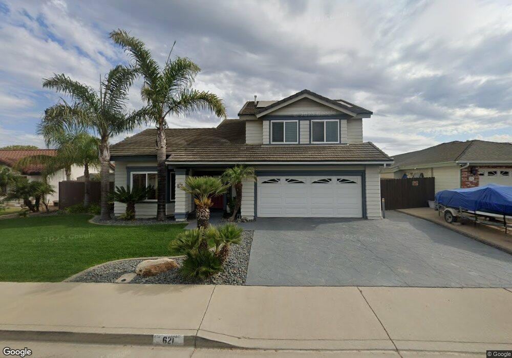
621 Amber Ln Santa Maria, CA 93454
Santa Maria East NeighborhoodEstimated Value: $685,000 - $801,000
3
Beds
3
Baths
2,500
Sq Ft
$307/Sq Ft
Est. Value
About This Home
This home is located at 621 Amber Ln, Santa Maria, CA 93454 and is currently estimated at $767,581, approximately $307 per square foot. 621 Amber Ln is a home located in Santa Barbara County with nearby schools including Washington Battles Elementary School, Fesler (Isaac) Junior High School, and Santa Maria High School.
Ownership History
Date
Name
Owned For
Owner Type
Purchase Details
Closed on
Mar 31, 2003
Sold by
Stewart Robert Patrick
Bought by
Stewart Robert P and Stewart Gloria A
Current Estimated Value
Purchase Details
Closed on
Feb 28, 2000
Sold by
Apetz James C
Bought by
Stewart Robert Patrick
Home Financials for this Owner
Home Financials are based on the most recent Mortgage that was taken out on this home.
Original Mortgage
$164,000
Outstanding Balance
$55,261
Interest Rate
8.21%
Mortgage Type
Stand Alone First
Estimated Equity
$712,320
Create a Home Valuation Report for This Property
The Home Valuation Report is an in-depth analysis detailing your home's value as well as a comparison with similar homes in the area
Home Values in the Area
Average Home Value in this Area
Purchase History
| Date | Buyer | Sale Price | Title Company |
|---|---|---|---|
| Stewart Robert P | -- | -- | |
| Stewart Robert Patrick | $205,000 | Lawyers Title Company |
Source: Public Records
Mortgage History
| Date | Status | Borrower | Loan Amount |
|---|---|---|---|
| Open | Stewart Robert Patrick | $164,000 |
Source: Public Records
Tax History
| Year | Tax Paid | Tax Assessment Tax Assessment Total Assessment is a certain percentage of the fair market value that is determined by local assessors to be the total taxable value of land and additions on the property. | Land | Improvement |
|---|---|---|---|---|
| 2025 | $3,476 | $315,054 | $115,258 | $199,796 |
| 2023 | $3,476 | $302,823 | $110,784 | $192,039 |
| 2022 | $3,349 | $296,886 | $108,612 | $188,274 |
| 2021 | $3,254 | $291,066 | $106,483 | $184,583 |
| 2020 | $3,247 | $288,083 | $105,392 | $182,691 |
| 2019 | $3,207 | $282,435 | $103,326 | $179,109 |
| 2018 | $3,163 | $276,898 | $101,300 | $175,598 |
| 2017 | $3,124 | $271,469 | $99,314 | $172,155 |
| 2016 | $2,990 | $266,147 | $97,367 | $168,780 |
| 2014 | $2,808 | $257,016 | $94,027 | $162,989 |
Source: Public Records
Map
Nearby Homes
- 625 Mariott Rd
- 1825 Olive Dr
- 400 Mariott Rd
- 321 Inger Dr Unit K94
- 435 E Newlove Dr
- 1920 S Mcclelland St Unit 33
- 2149 Calle Serena
- 2228 Cordoban Ln
- 1900 S Lincoln St Unit F2
- 217 Gilea Ct
- 311 Lolita Ln Unit L
- 3920 Highway 101
- 2096 S Lincoln St
- 1838 Gable Ln
- 310 E Mccoy Ln Unit 11F
- 310 E Mccoy Ln Unit 2A
- 310 E Mccoy Ln
- 545 Santa Cruz Ct
- 413 West St
- 1701 S Thornburg St Unit 122
Your Personal Tour Guide
Ask me questions while you tour the home.