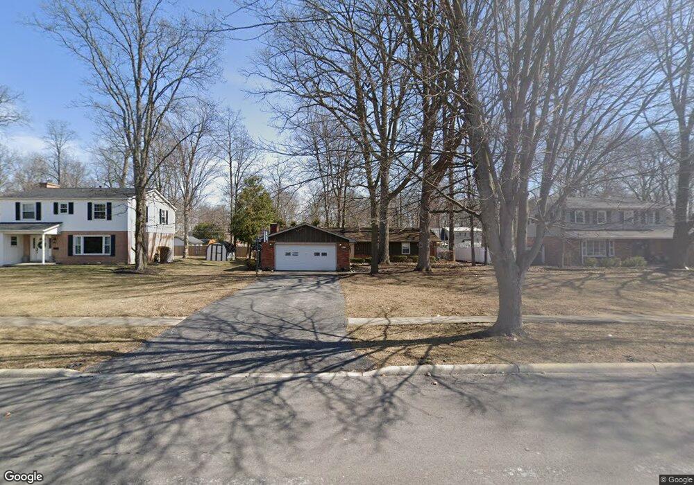
621 Bristol Dr Findlay, OH 45840
Estimated Value: $269,321 - $291,000
3
Beds
2
Baths
1,894
Sq Ft
$146/Sq Ft
Est. Value
About This Home
This home is located at 621 Bristol Dr, Findlay, OH 45840 and is currently estimated at $277,330, approximately $146 per square foot. 621 Bristol Dr is a home located in Hancock County with nearby schools including Wilson Vance Elementary School, Whittier Elementary School, and Donnell Middle School.
Ownership History
Date
Name
Owned For
Owner Type
Purchase Details
Closed on
Aug 4, 2008
Sold by
Sampson Rebecca A
Bought by
Kershaw Stephen and Kershaw Josephine
Current Estimated Value
Purchase Details
Closed on
Jul 21, 1992
Bought by
Sampson Roger C and Sampson Rebecca
Purchase Details
Closed on
Feb 19, 1991
Bought by
Brooks Barbara A
Purchase Details
Closed on
May 31, 1988
Bought by
Erford Dean P and Erford Rebecca M
Create a Home Valuation Report for This Property
The Home Valuation Report is an in-depth analysis detailing your home's value as well as a comparison with similar homes in the area
Home Values in the Area
Average Home Value in this Area
Purchase History
| Date | Buyer | Sale Price | Title Company |
|---|---|---|---|
| Kershaw Stephen | $139,000 | Mid Am Title Agency | |
| Sampson Roger C | $110,000 | -- | |
| Brooks Barbara A | $106,000 | -- | |
| Erford Dean P | $95,000 | -- |
Source: Public Records
Tax History
| Year | Tax Paid | Tax Assessment Tax Assessment Total Assessment is a certain percentage of the fair market value that is determined by local assessors to be the total taxable value of land and additions on the property. | Land | Improvement |
|---|---|---|---|---|
| 2024 | $2,414 | $67,970 | $10,320 | $57,650 |
| 2023 | $2,418 | $67,970 | $10,320 | $57,650 |
| 2022 | $2,410 | $67,970 | $10,320 | $57,650 |
| 2021 | $2,083 | $51,170 | $10,320 | $40,850 |
| 2020 | $2,082 | $51,170 | $10,320 | $40,850 |
| 2019 | $2,040 | $51,170 | $10,320 | $40,850 |
| 2018 | $2,062 | $47,450 | $10,320 | $37,130 |
| 2017 | $1,032 | $47,450 | $10,320 | $37,130 |
| 2016 | $2,035 | $47,450 | $10,320 | $37,130 |
| 2015 | $2,381 | $54,460 | $10,960 | $43,500 |
| 2014 | $2,382 | $54,460 | $10,960 | $43,500 |
| 2012 | $2,398 | $54,460 | $10,960 | $43,500 |
Source: Public Records
Map
Nearby Homes
- 1825 Greendale Ave
- 1828 Queenswood Dr
- 1926 Queenswood Dr
- 707 Winterhaven Dr
- 542 Bright Rd
- 2047 Imperial Ln
- 2000 Rush Creek Ct
- 1521 Middle Ct
- 1203 Chateau Ct
- 801 Fox Run Rd
- 534 Deer Lake Dr Unit 41
- 401 Westchester Dr
- 845 Fox Run Rd
- 1364 Chateau Cir Unit 26
- 2245 Fox Run Cir Unit 1037
- 1305 Chateau Cir Unit 61
- 1306 Chateau Cir Unit 55
- 1309 Chateau Cir Unit 63
- 0 Bright Rd Unit 6117142
- 0 Bright Rd Unit 6117138
- 615 Bristol Dr
- 627 Bristol Dr
- 609 Bristol Dr
- 612 Sutton Place
- 633 Bristol Dr
- 1905 Greendale Ave
- 1909 Greendale Ave
- 605 Bristol Dr
- 606 Sutton Place
- 1913 Greendale Ave
- 1917 Greendale Ave
- 1819 Greendale Ave
- 600 Sutton Place
- 601 Bristol Dr
- 615 Sutton Place
- 1900 Greendale Ave
- 1904 Greendale Ave
- 627 Sutton Place
- 1813 Greendale Ave
- 609 Sutton Place
Your Personal Tour Guide
Ask me questions while you tour the home.