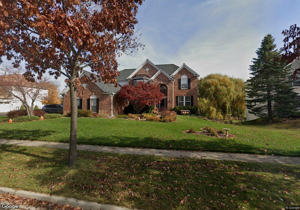
621 Brookside Ave Algonquin, IL 60102
Far West Algonquin NeighborhoodEstimated Value: $577,211 - $646,000
4
Beds
5
Baths
3,546
Sq Ft
$172/Sq Ft
Est. Value
About This Home
This home is located at 621 Brookside Ave, Algonquin, IL 60102 and is currently estimated at $609,303, approximately $171 per square foot. 621 Brookside Ave is a home located in McHenry County with nearby schools including Westfield Community School, Lincoln Prairie Elementary School, and Harry D Jacobs High School.
Ownership History
Date
Name
Owned For
Owner Type
Purchase Details
Closed on
Oct 12, 2000
Sold by
Pulte Home Corp
Bought by
Day Robert J and Day Anne R
Current Estimated Value
Home Financials for this Owner
Home Financials are based on the most recent Mortgage that was taken out on this home.
Original Mortgage
$165,000
Outstanding Balance
$60,518
Interest Rate
8%
Estimated Equity
$548,785
Create a Home Valuation Report for This Property
The Home Valuation Report is an in-depth analysis detailing your home's value as well as a comparison with similar homes in the area
Home Values in the Area
Average Home Value in this Area
Purchase History
| Date | Buyer | Sale Price | Title Company |
|---|---|---|---|
| Day Robert J | $421,964 | First American |
Source: Public Records
Mortgage History
| Date | Status | Borrower | Loan Amount |
|---|---|---|---|
| Open | Day Robert J | $165,000 |
Source: Public Records
Tax History
| Year | Tax Paid | Tax Assessment Tax Assessment Total Assessment is a certain percentage of the fair market value that is determined by local assessors to be the total taxable value of land and additions on the property. | Land | Improvement |
|---|---|---|---|---|
| 2024 | $12,658 | $169,814 | $29,733 | $140,081 |
| 2023 | $12,044 | $151,877 | $26,592 | $125,285 |
| 2022 | $12,343 | $149,921 | $26,206 | $123,715 |
| 2021 | $11,861 | $139,669 | $24,414 | $115,255 |
| 2020 | $11,559 | $134,725 | $23,550 | $111,175 |
| 2019 | $11,290 | $128,948 | $22,540 | $106,408 |
| 2018 | $13,137 | $143,829 | $20,822 | $123,007 |
| 2017 | $12,895 | $135,496 | $19,616 | $115,880 |
| 2016 | $12,733 | $127,083 | $18,398 | $108,685 |
| 2013 | -- | $125,460 | $17,163 | $108,297 |
Source: Public Records
Map
Nearby Homes
- 601 Woods Creek Ln
- 16 Springbrook Ln
- 2660 Harnish Dr
- 3610 Lakeview Dr
- 3260 Nottingham Dr
- 4241 Wanderlust Dr
- 940 Treeline Dr
- 895 Eineke Blvd
- 531 Alpine Dr
- 3650 Wintergreen Terrace
- 4 Greenbrier Ct
- 432 Thunder Ridge
- 2930 Harnish Dr
- 2956 Harnish Dr
- 2380 Dawson Ln Unit 165
- 1157 Sawmill Ln
- 2612 Loren Ln Unit 293
- 1171 Kingsmill Dr
- 212 Rhinebeck Way
- 2602 Amber Ln Unit 49
- 611 Brookside Ave
- 631 Brookside Ave
- 620 Brookside Ave
- 601 Brookside Ave
- 630 Brookside Ave
- 641 Brookside Ave
- 610 Brookside Ave
- 640 Brookside Ave
- 651 Brookside Ave
- 600 Brookside Ave
- 631 Saratoga Cir
- 641 Saratoga Cir
- 621 Saratoga Cir
- 650 Brookside Ave
- 591 Brookside Ave
- 611 Saratoga Cir
- 651 Saratoga Cir
- 661 Brookside Ave
- 601 Saratoga Cir
- 660 Brookside Ave
Your Personal Tour Guide
Ask me questions while you tour the home.