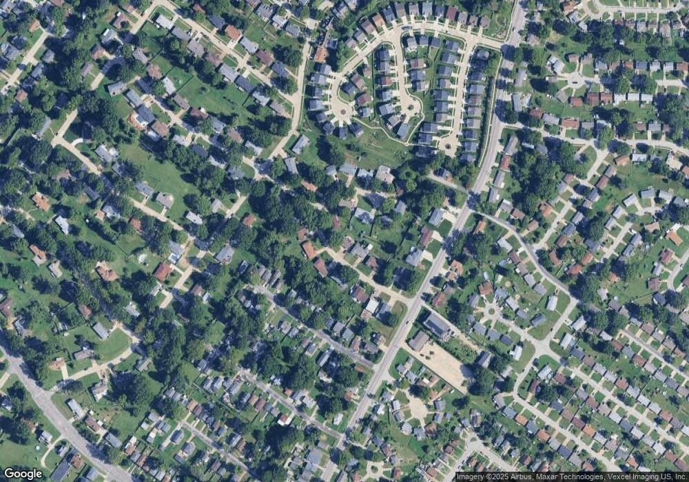
621 Camborne Dr Saint Louis, MO 63125
Lemay NeighborhoodEstimated Value: $293,495 - $340,000
3
Beds
2
Baths
1,636
Sq Ft
$188/Sq Ft
Est. Value
About This Home
This home is located at 621 Camborne Dr, Saint Louis, MO 63125 and is currently estimated at $308,374, approximately $188 per square foot. 621 Camborne Dr is a home located in St. Louis County with nearby schools including Forder Elementary School, Margaret Buerkle Middle School, and Mehlville High School.
Ownership History
Date
Name
Owned For
Owner Type
Purchase Details
Closed on
May 30, 2003
Sold by
Hollyfield Nancy A and Hulfachor Nancy A
Bought by
Brown Richard and Brown Paula
Current Estimated Value
Purchase Details
Closed on
May 3, 2002
Sold by
Leighton Marianne
Bought by
Hollyfield Nancy A
Home Financials for this Owner
Home Financials are based on the most recent Mortgage that was taken out on this home.
Original Mortgage
$118,000
Interest Rate
7.19%
Purchase Details
Closed on
Mar 23, 2001
Sold by
Leighton Richard E
Bought by
Leighton Marianne
Purchase Details
Closed on
Apr 16, 1997
Sold by
Gjr Preston Vernon and Gjr Janet K
Bought by
Leighton Ii Richard Eugene and Leighton Marianne
Home Financials for this Owner
Home Financials are based on the most recent Mortgage that was taken out on this home.
Original Mortgage
$120,297
Interest Rate
7.82%
Mortgage Type
FHA
Create a Home Valuation Report for This Property
The Home Valuation Report is an in-depth analysis detailing your home's value as well as a comparison with similar homes in the area
Home Values in the Area
Average Home Value in this Area
Purchase History
| Date | Buyer | Sale Price | Title Company |
|---|---|---|---|
| Brown Richard | $178,000 | -- | |
| Hollyfield Nancy A | -- | -- | |
| Leighton Marianne | -- | -- | |
| Leighton Ii Richard Eugene | -- | -- |
Source: Public Records
Mortgage History
| Date | Status | Borrower | Loan Amount |
|---|---|---|---|
| Previous Owner | Hollyfield Nancy A | $118,000 | |
| Previous Owner | Leighton Ii Richard Eugene | $120,297 |
Source: Public Records
Tax History Compared to Growth
Tax History
| Year | Tax Paid | Tax Assessment Tax Assessment Total Assessment is a certain percentage of the fair market value that is determined by local assessors to be the total taxable value of land and additions on the property. | Land | Improvement |
|---|---|---|---|---|
| 2025 | $3,182 | $49,520 | $18,890 | $30,630 |
| 2024 | $3,182 | $43,300 | $10,390 | $32,910 |
| 2023 | $2,997 | $43,300 | $10,390 | $32,910 |
| 2022 | $2,987 | $39,990 | $11,340 | $28,650 |
| 2021 | $2,742 | $39,990 | $11,340 | $28,650 |
| 2020 | $2,913 | $40,240 | $12,290 | $27,950 |
| 2019 | $2,905 | $40,240 | $12,290 | $27,950 |
| 2018 | $2,710 | $33,400 | $7,050 | $26,350 |
| 2017 | $2,703 | $33,400 | $7,050 | $26,350 |
| 2016 | $2,515 | $29,810 | $6,310 | $23,500 |
| 2015 | $2,370 | $29,810 | $6,310 | $23,500 |
| 2014 | $2,092 | $26,150 | $4,850 | $21,300 |
Source: Public Records
Map
Nearby Homes
- 669 Vista Conn Dr
- 2228 Hagenstone Terrace
- 645 Vista Conn Dr
- 502 Nannette Dr
- 2105 Telford Dr
- 333 Pentonville Dr
- 317 Tacoma Dr
- 2218 Telford Dr
- 600 Ellwine Dr
- 385 Kingston Dr
- 660 Rochester Dr
- 669 Bellsworth Dr
- 408 W Ripa Ave
- 9950 Meadow Ave
- 800 Dumont Place Unit B
- 1745 Herault Place Unit E
- 1725 Herault Place Unit G
- 1153 Calley Dr Unit 1153
- 121 Jefferson Barracks Rd
- 1716 Mayenne Ct Unit E
- 615 Camborne Dr
- 629 Camborne Dr
- 624 Guernsey Cir
- 630 Guernsey Cir
- 609 Camborne Dr
- 622 Camborne Dr
- 620 Guernsey Cir
- 616 Camborne Dr
- 626 Camborne Dr
- 630 Camborne Dr
- 634 Camborne Dr
- 610 Camborne Dr
- 618 Guernsey Cir
- 635 Camborne Dr
- 2327 Telegraph Rd
- 629 Demerville Ave
- 2321 Telegraph Rd
- 631 de Merville Ave
- 629 de Merville Ave
- 633 de Merville Ave
