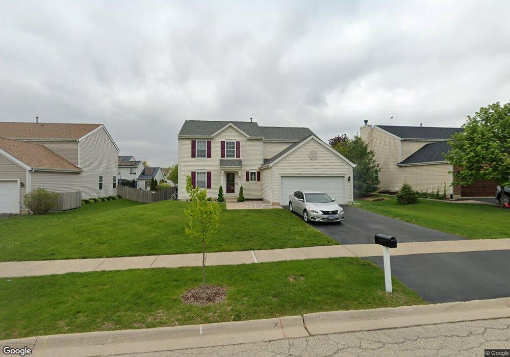
621 Camden Dr Minooka, IL 60447
North Minooka NeighborhoodEstimated Value: $380,000 - $396,165
4
Beds
3
Baths
2,540
Sq Ft
$153/Sq Ft
Est. Value
About This Home
This home is located at 621 Camden Dr, Minooka, IL 60447 and is currently estimated at $388,041, approximately $152 per square foot. 621 Camden Dr is a home located in Kendall County with nearby schools including Jones Elementary School, Minooka Junior High School, and Minooka Intermediate School.
Ownership History
Date
Name
Owned For
Owner Type
Purchase Details
Closed on
May 26, 2006
Sold by
Summerfield Venture Llc
Bought by
Guerrero Everardo and Guerrero Rosa Marie
Current Estimated Value
Home Financials for this Owner
Home Financials are based on the most recent Mortgage that was taken out on this home.
Original Mortgage
$224,000
Interest Rate
6%
Mortgage Type
Purchase Money Mortgage
Create a Home Valuation Report for This Property
The Home Valuation Report is an in-depth analysis detailing your home's value as well as a comparison with similar homes in the area
Home Values in the Area
Average Home Value in this Area
Purchase History
| Date | Buyer | Sale Price | Title Company |
|---|---|---|---|
| Guerrero Everardo | $225,000 | Nat |
Source: Public Records
Mortgage History
| Date | Status | Borrower | Loan Amount |
|---|---|---|---|
| Closed | Guerrero Everardo | $224,000 |
Source: Public Records
Tax History Compared to Growth
Tax History
| Year | Tax Paid | Tax Assessment Tax Assessment Total Assessment is a certain percentage of the fair market value that is determined by local assessors to be the total taxable value of land and additions on the property. | Land | Improvement |
|---|---|---|---|---|
| 2024 | $8,884 | $112,840 | $15,425 | $97,415 |
| 2023 | $6,587 | $102,185 | $14,690 | $87,495 |
| 2022 | $6,587 | $83,480 | $13,990 | $69,490 |
| 2021 | $6,455 | $79,792 | $14,203 | $65,589 |
| 2020 | $6,394 | $76,213 | $13,566 | $62,647 |
| 2019 | $6,439 | $74,821 | $13,318 | $61,503 |
| 2018 | $6,221 | $73,188 | $13,027 | $60,161 |
| 2017 | $6,101 | $68,949 | $13,027 | $55,922 |
| 2016 | $5,675 | $64,073 | $12,866 | $51,207 |
| 2015 | $5,401 | $60,807 | $12,210 | $48,597 |
| 2014 | -- | $58,924 | $12,210 | $46,714 |
| 2013 | -- | $58,924 | $12,210 | $46,714 |
Source: Public Records
Map
Nearby Homes
- 1419 Kettleson Dr
- 603 Briarcliff Dr
- 814 Daniel Dr
- 844 Daniel Dr
- 2041 Isabella Ln
- 2033 Isabella
- 194 acres W Holt Rd
- Lot 1 Minooka Ridge & Jones Rd
- 103 E Coady Dr
- LOT 1 Bob Blair Rd
- 201 W Church St
- 308 Wabasso Place
- 405 W Mondamin St
- 101 Fieldcrest Ct
- 401 Feeney Dr
- 107 Sibley Dr
- 504 Flanagan Dr Unit A
- LOT 28 O Toole Dr
- 817 Casey Dr
- 406 Mccoy Ct
- 625 Camden Dr
- 617 Camden Dr
- 626 Gallant Dr
- 630 Gallant Dr
- 622 Gallant Dr
- 629 Camden Dr
- 620 Camden Dr
- 624 Camden Dr Unit 1
- 634 Gallant Dr
- 616 Camden Dr
- 628 Camden Dr
- 633 Camden Dr
- 937 Briarcliff Dr
- 612 Camden Dr
- 933 Briarcliff Dr
- 702 Gallant Dr
- 700 Camden Dr
- 929 Briarcliff Dr
- 608 Camden Dr
- 619 Tremont Dr