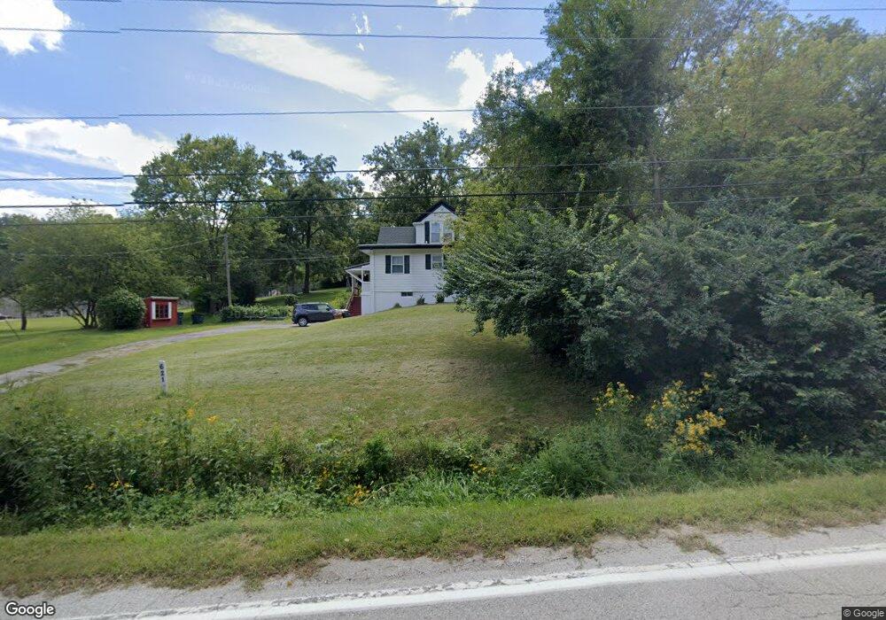
621 College Rd Council Bluffs, IA 51503
Downtown Council Bluffs NeighborhoodEstimated Value: $235,000 - $316,328
4
Beds
1
Bath
1,200
Sq Ft
$220/Sq Ft
Est. Value
About This Home
This home is located at 621 College Rd, Council Bluffs, IA 51503 and is currently estimated at $263,832, approximately $219 per square foot. 621 College Rd is a home located in Pottawattamie County with nearby schools including College View Elementary School, Gerald W. Kirn Middle School, and Abraham Lincoln High School.
Ownership History
Date
Name
Owned For
Owner Type
Purchase Details
Closed on
Aug 19, 2022
Sold by
Reynolds Rose Joanne
Bought by
Kups Ryan K
Current Estimated Value
Home Financials for this Owner
Home Financials are based on the most recent Mortgage that was taken out on this home.
Original Mortgage
$190,000
Outstanding Balance
$181,342
Interest Rate
5.3%
Mortgage Type
New Conventional
Estimated Equity
$82,490
Purchase Details
Closed on
Apr 17, 2006
Sold by
Reynolds Rose Joanne and Reynolds Henry M
Bought by
Reynolds Rose Joanne and Reynolds Henry M
Create a Home Valuation Report for This Property
The Home Valuation Report is an in-depth analysis detailing your home's value as well as a comparison with similar homes in the area
Home Values in the Area
Average Home Value in this Area
Purchase History
| Date | Buyer | Sale Price | Title Company |
|---|---|---|---|
| Kups Ryan K | $200,000 | Fahey John P | |
| Reynolds Rose Joanne | -- | None Available |
Source: Public Records
Mortgage History
| Date | Status | Borrower | Loan Amount |
|---|---|---|---|
| Open | Kups Ryan K | $190,000 |
Source: Public Records
Tax History Compared to Growth
Tax History
| Year | Tax Paid | Tax Assessment Tax Assessment Total Assessment is a certain percentage of the fair market value that is determined by local assessors to be the total taxable value of land and additions on the property. | Land | Improvement |
|---|---|---|---|---|
| 2025 | $4,108 | $241,900 | $142,600 | $99,300 |
| 2024 | $4,108 | $214,200 | $124,000 | $90,200 |
| 2023 | $4,062 | $214,200 | $124,000 | $90,200 |
| 2022 | $3,818 | $171,700 | $103,800 | $67,900 |
| 2021 | $5,854 | $171,700 | $103,800 | $67,900 |
| 2020 | $3,690 | $171,700 | $103,800 | $67,900 |
| 2019 | $2,230 | $157,400 | $95,600 | $61,800 |
| 2018 | $2,184 | $95,301 | $57,344 | $37,957 |
| 2017 | $2,184 | $95,301 | $57,344 | $37,957 |
| 2015 | $2,160 | $95,301 | $57,344 | $37,957 |
| 2014 | $2,162 | $95,301 | $57,344 | $37,957 |
Source: Public Records
Map
Nearby Homes
- 37 Indian Hills Rd
- 1426 Mcpherson Ave
- 440 Simms Ave
- 1.12 AC Railroad Ave & Hwy 6
- 638 Simms Ave
- 415 Midland Dr
- 269 Elmwood Dr
- 28 Cooper Ave
- 52 Gould Ave
- 222 Locust Lodge Ave
- 601 Forest Dr
- 118 Euclid Ave
- 216 Morningside Ave
- 212 Highland Dr
- 23 Wenwood Cir
- 1109 Arbor Ridge Dr
- 102 Arbor Ridge Ln Unit 8
- 400 Frank St
- 155 S Linden Ave
- 627 Spencer Ave
- 525 College Rd
- 701 College Rd
- 700 College Rd
- 709 College Rd
- 620 College Rd
- 536 College Rd
- 720 College Rd
- 800 College Rd
- 500 College Rd
- 813 College Rd
- 817 College Rd
- 440 College Rd
- 723 College Rd
- 31.82 AC College Rd
- 11.15 AC College Rd
- 820 College Rd
- 820 College Rd
- 408 College Rd
- 825 College Rd
- 320 College Rd