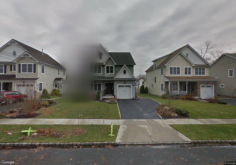
621 Cumberland St Westfield, NJ 07090
Estimated Value: $1,354,000 - $1,537,000
--
Bed
--
Bath
2,808
Sq Ft
$515/Sq Ft
Est. Value
About This Home
This home is located at 621 Cumberland St, Westfield, NJ 07090 and is currently estimated at $1,446,868, approximately $515 per square foot. 621 Cumberland St is a home located in Union County with nearby schools including McKinley Elementary School, Westfield Senior High School, and Holy Trinity School.
Ownership History
Date
Name
Owned For
Owner Type
Purchase Details
Closed on
Mar 9, 2010
Sold by
Isolda Antonio and Isolda Joseph
Bought by
Scatigno Kevin J and Scatigno Karlyn
Current Estimated Value
Home Financials for this Owner
Home Financials are based on the most recent Mortgage that was taken out on this home.
Original Mortgage
$590,000
Outstanding Balance
$391,820
Interest Rate
5.02%
Mortgage Type
New Conventional
Estimated Equity
$1,055,048
Create a Home Valuation Report for This Property
The Home Valuation Report is an in-depth analysis detailing your home's value as well as a comparison with similar homes in the area
Home Values in the Area
Average Home Value in this Area
Purchase History
| Date | Buyer | Sale Price | Title Company |
|---|---|---|---|
| Scatigno Kevin J | $750,000 | Prestige Title Agency Inc |
Source: Public Records
Mortgage History
| Date | Status | Borrower | Loan Amount |
|---|---|---|---|
| Open | Scatigno Kevin J | $590,000 |
Source: Public Records
Tax History Compared to Growth
Tax History
| Year | Tax Paid | Tax Assessment Tax Assessment Total Assessment is a certain percentage of the fair market value that is determined by local assessors to be the total taxable value of land and additions on the property. | Land | Improvement |
|---|---|---|---|---|
| 2025 | $19,773 | $878,000 | $323,900 | $554,100 |
| 2024 | $18,599 | $878,000 | $323,900 | $554,100 |
| 2023 | $18,599 | $843,100 | $323,900 | $519,200 |
| 2022 | $17,438 | $807,300 | $323,900 | $483,400 |
| 2021 | $17,462 | $807,300 | $323,900 | $483,400 |
| 2020 | $17,422 | $807,300 | $323,900 | $483,400 |
| 2019 | $17,357 | $807,300 | $323,900 | $483,400 |
| 2018 | $15,684 | $168,700 | $31,300 | $137,400 |
| 2017 | $15,598 | $168,700 | $31,300 | $137,400 |
| 2016 | $15,232 | $168,700 | $31,300 | $137,400 |
| 2015 | $14,928 | $168,700 | $31,300 | $137,400 |
| 2014 | $14,436 | $168,700 | $31,300 | $137,400 |
Source: Public Records
Map
Nearby Homes
- 524 Edgar Rd
- 525 Edgar Rd
- 724 South Ave W Unit 724A
- 119 Lamberts Mill Rd
- 350 W Dudley Ave
- 2154 W Broad St
- 314 Highgate Ave
- 614 Dorian Rd
- 2116 Newark Ave
- 1466 Lamberts Mill Rd
- 538 Westfield Ave
- 2314 Longfellow Ave
- 303 Prospect St
- 260 Prospect St Unit C15
- 522 Boulevard
- 2 Brookside Ct
- 215 Ross Place Unit J
- 2219 North Ave Unit 6
- 143 Stanmore Place
- 203 Ross Place
- 623 Cumberland St
- 615 Cumberland St
- 629 Cumberland St
- 611 Cumberland St
- 620 Downer St
- 624 Downer St
- 612 Downer St
- 628 Downer St
- 633 Cumberland St
- 610 Downer St
- 211 Palsted Ave
- 634 Downer St
- 618 Cumberland St
- 622 Cumberland St
- 209 Palsted Ave
- 614 Cumberland St
- 603 Cumberland St
- 624 Cumberland St
- 207 Palsted Ave
- 610 Cumberland St