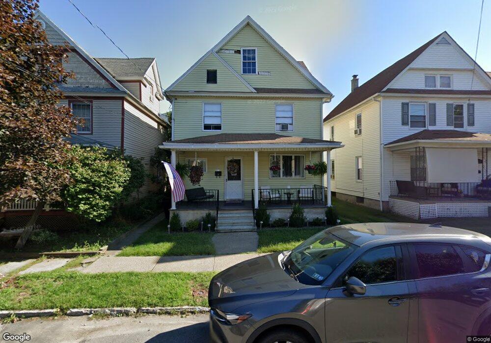
621 Depot St Scranton, PA 18509
Providence NeighborhoodEstimated Value: $103,000 - $213,000
4
Beds
1
Bath
1,920
Sq Ft
$85/Sq Ft
Est. Value
About This Home
This home is located at 621 Depot St, Scranton, PA 18509 and is currently estimated at $162,978, approximately $84 per square foot. 621 Depot St is a home located in Lackawanna County with nearby schools including Robert Morris #27, Northeast Scranton Intermediate School, and Scranton High School.
Ownership History
Date
Name
Owned For
Owner Type
Purchase Details
Closed on
Apr 21, 2023
Sold by
Robbins Linda and Robbins Samuel
Bought by
Meyers Colleen M
Current Estimated Value
Home Financials for this Owner
Home Financials are based on the most recent Mortgage that was taken out on this home.
Original Mortgage
$60,000
Outstanding Balance
$58,332
Interest Rate
6.6%
Mortgage Type
New Conventional
Estimated Equity
$104,646
Purchase Details
Closed on
Jan 1, 2010
Sold by
Lynott Philip G and Lynott Rose Marie
Bought by
Lynott Rose Marie
Home Financials for this Owner
Home Financials are based on the most recent Mortgage that was taken out on this home.
Original Mortgage
$21,000
Interest Rate
5.17%
Mortgage Type
New Conventional
Create a Home Valuation Report for This Property
The Home Valuation Report is an in-depth analysis detailing your home's value as well as a comparison with similar homes in the area
Home Values in the Area
Average Home Value in this Area
Purchase History
| Date | Buyer | Sale Price | Title Company |
|---|---|---|---|
| Meyers Colleen M | $40,000 | None Listed On Document | |
| Robbins Linda | -- | None Listed On Document | |
| Lynott Rose Marie | -- | None Available |
Source: Public Records
Mortgage History
| Date | Status | Borrower | Loan Amount |
|---|---|---|---|
| Open | Meyers Colleen M | $60,000 | |
| Previous Owner | Lynott Rose Marie | $21,000 |
Source: Public Records
Tax History Compared to Growth
Tax History
| Year | Tax Paid | Tax Assessment Tax Assessment Total Assessment is a certain percentage of the fair market value that is determined by local assessors to be the total taxable value of land and additions on the property. | Land | Improvement |
|---|---|---|---|---|
| 2025 | $2,094 | $6,500 | $1,050 | $5,450 |
| 2024 | $1,914 | $6,500 | $1,050 | $5,450 |
| 2023 | $1,914 | $6,500 | $1,050 | $5,450 |
| 2022 | $415 | $6,500 | $1,050 | $5,450 |
| 2021 | $1,872 | $6,500 | $1,050 | $5,450 |
| 2020 | $1,837 | $6,500 | $1,050 | $5,450 |
| 2019 | $1,728 | $6,500 | $1,050 | $5,450 |
| 2018 | $1,728 | $6,500 | $1,050 | $5,450 |
| 2017 | $1,697 | $6,500 | $1,050 | $5,450 |
| 2016 | $520 | $6,500 | $1,050 | $5,450 |
| 2015 | $946 | $6,500 | $1,050 | $5,450 |
| 2014 | -- | $6,500 | $1,050 | $5,450 |
Source: Public Records
Map
Nearby Homes
- 2129 Comegys Ave Unit L11
- 2237 Boulevard Ave
- 2106 Boulevard Ave
- 1008 Fisk St
- 2136 N Main Ave
- 1021 Richmont St
- 514 E Market St
- 831 Raines St
- 2515 N Main Ave
- 121 Throop St
- 1762-1764 Sanderson Ave
- 512 Electric St Unit 510-516
- 2089 N Main Ave
- 2706 N Main Ave
- 1118 Columbia St
- 193 W Parker St
- 1732 Capouse Ave
- 2105 Belmont Terrace
- 1008 Sunset St
- 2040 Edna Ave