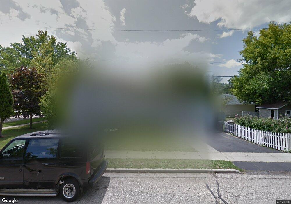
621 Elgin Ave Elgin, IL 60120
Southeast Elgin NeighborhoodEstimated Value: $226,000 - $254,000
3
Beds
2
Baths
1,032
Sq Ft
$227/Sq Ft
Est. Value
About This Home
This home is located at 621 Elgin Ave, Elgin, IL 60120 and is currently estimated at $234,776, approximately $227 per square foot. 621 Elgin Ave is a home located in Kane County with nearby schools including Nature Ridge Elementary School, Kenyon Woods Middle School, and South Elgin High School.
Ownership History
Date
Name
Owned For
Owner Type
Purchase Details
Closed on
Mar 21, 1996
Sold by
Jacobo Bulmaro
Bought by
Jacobo Bulmaro and Jacobo Graciela
Current Estimated Value
Home Financials for this Owner
Home Financials are based on the most recent Mortgage that was taken out on this home.
Original Mortgage
$50,000
Interest Rate
7.46%
Create a Home Valuation Report for This Property
The Home Valuation Report is an in-depth analysis detailing your home's value as well as a comparison with similar homes in the area
Home Values in the Area
Average Home Value in this Area
Purchase History
| Date | Buyer | Sale Price | Title Company |
|---|---|---|---|
| Jacobo Bulmaro | -- | Chicago Title Insurance Co |
Source: Public Records
Mortgage History
| Date | Status | Borrower | Loan Amount |
|---|---|---|---|
| Closed | Jacobo Bulmaro | $50,000 |
Source: Public Records
Tax History
| Year | Tax Paid | Tax Assessment Tax Assessment Total Assessment is a certain percentage of the fair market value that is determined by local assessors to be the total taxable value of land and additions on the property. | Land | Improvement |
|---|---|---|---|---|
| 2024 | $4,071 | $58,865 | $12,713 | $46,152 |
| 2023 | $3,851 | $53,180 | $11,485 | $41,695 |
| 2022 | $3,684 | $48,491 | $10,472 | $38,019 |
| 2021 | $3,509 | $45,336 | $9,791 | $35,545 |
| 2020 | $3,253 | $41,664 | $9,347 | $32,317 |
| 2019 | $3,146 | $39,688 | $8,904 | $30,784 |
| 2018 | $2,623 | $32,530 | $8,388 | $24,142 |
| 2017 | $2,546 | $30,753 | $7,930 | $22,823 |
| 2016 | $2,403 | $28,531 | $7,357 | $21,174 |
| 2015 | -- | $26,151 | $6,743 | $19,408 |
| 2014 | -- | $25,828 | $6,660 | $19,168 |
| 2013 | -- | $29,982 | $6,836 | $23,146 |
Source: Public Records
Map
Nearby Homes
- 631 Bent St
- 513 Cookane Ave
- 689 Bent St
- 518 Raymond St
- 457 Arlington Ave
- 1499 Deer Pointe Dr
- 1474 Deer Pointe Dr
- 445 Lucile Ave
- 262 Bartlett Place
- 450 Villa St
- 332-334 St Charles St
- 1182 Concord Dr
- 483 Barrett St
- 385 Woodview Cir Unit B
- 286 Villa St
- 1480 Raymond St
- 277 Gifford Place
- 7 National St Unit 7
- 3 National St Unit 3
- 331 Orange St
- 954 Illinois Ave
- 958 Illinois Ave
- 951 S Liberty St
- 955 S Liberty St
- 926 Illinois Ave
- 959 S Liberty St
- 931 S Liberty St
- 925 S Liberty St
- 922 Illinois Ave
- 959 Illinois Ave
- 650 Elgin Ave
- 969 S Liberty St
- 921 S Liberty St
- 918 Illinois Ave
- 925 Illinois Ave
- 971 S Liberty St
- 969 Illinois Ave
- 919 S Liberty St
- 921 Illinois Ave
- 912 Illinois Ave
Your Personal Tour Guide
Ask me questions while you tour the home.