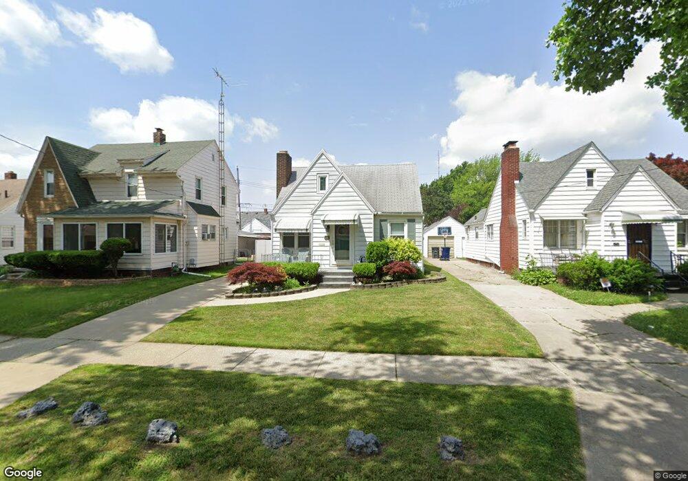
621 Falcon Rd Toledo, OH 43607
Scott Park NeighborhoodEstimated Value: $104,000 - $114,000
2
Beds
2
Baths
1,363
Sq Ft
$80/Sq Ft
Est. Value
About This Home
This home is located at 621 Falcon Rd, Toledo, OH 43607 and is currently estimated at $109,689, approximately $80 per square foot. 621 Falcon Rd is a home located in Lucas County with nearby schools including Jesup W. Scott High School, Explorers Academy, and Explorers Academy of Science and Technology.
Ownership History
Date
Name
Owned For
Owner Type
Purchase Details
Closed on
Jul 5, 2001
Sold by
Taylor Robert L
Bought by
Taylor Frieda A Cooke
Current Estimated Value
Purchase Details
Closed on
Nov 13, 1990
Sold by
Stubblefield Lynne E
Create a Home Valuation Report for This Property
The Home Valuation Report is an in-depth analysis detailing your home's value as well as a comparison with similar homes in the area
Home Values in the Area
Average Home Value in this Area
Purchase History
| Date | Buyer | Sale Price | Title Company |
|---|---|---|---|
| Taylor Frieda A Cooke | -- | -- | |
| -- | $42,000 | -- |
Source: Public Records
Tax History Compared to Growth
Tax History
| Year | Tax Paid | Tax Assessment Tax Assessment Total Assessment is a certain percentage of the fair market value that is determined by local assessors to be the total taxable value of land and additions on the property. | Land | Improvement |
|---|---|---|---|---|
| 2024 | $724 | $22,435 | $6,685 | $15,750 |
| 2023 | $1,489 | $22,365 | $4,305 | $18,060 |
| 2022 | $1,473 | $22,365 | $4,305 | $18,060 |
| 2021 | $1,521 | $22,365 | $4,305 | $18,060 |
| 2020 | $1,457 | $18,725 | $3,570 | $15,155 |
| 2019 | $1,416 | $18,725 | $3,570 | $15,155 |
| 2018 | $1,428 | $18,725 | $3,570 | $15,155 |
| 2017 | $1,434 | $18,305 | $3,500 | $14,805 |
| 2016 | $1,436 | $52,300 | $10,000 | $42,300 |
| 2015 | $1,442 | $52,300 | $10,000 | $42,300 |
| 2014 | $1,151 | $18,310 | $3,500 | $14,810 |
| 2013 | $1,151 | $18,310 | $3,500 | $14,810 |
Source: Public Records
Map
Nearby Homes
- 2307 Avondale Ave
- 913 Coventry Ave
- 908 Coventry Ave
- 605 Waverly Ave
- 2145 Dorr St
- 1215 Woodstock Ave
- 1329 Parkside Blvd
- 1318 Addington Rd
- 1131 Montrose Ave
- 2033 Crosswell Place
- 1423 Roosevelt Ave
- 620 Broer Ave
- 1940 Crosswell Place
- 1513 Waverly Ave
- 1735 Perth St
- 226 Somerset St
- 221 Somerset St
- 1420 Upton Ave
- 304 Mayberry St
- 224 S Fearing Blvd
- 625 Falcon Rd
- 617 Falcon Rd
- 613 Falcon Rd
- 629 Falcon Rd
- 622 Greening Rd
- 626 Greening Rd
- 633 Falcon Rd
- 614 Greening Rd
- 630 Greening Rd
- 618 Falcon Rd
- 2308 Nebraska Ave
- 2302 Nebraska Ave
- 634 Greening Rd
- 630 Falcon Rd
- 2312 Nebraska Ave
- 624 Falcon Rd
- 614 Falcon Rd
- 2316 Nebraska Ave
- 638 Greening Rd
- 2269 Hinde Rd