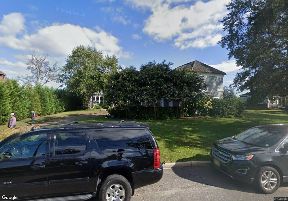
621 Little Silver Point Rd Little Silver, NJ 07739
Estimated Value: $2,372,000 - $4,100,818
4
Beds
5
Baths
5,604
Sq Ft
$595/Sq Ft
Est. Value
About This Home
This home is located at 621 Little Silver Point Rd, Little Silver, NJ 07739 and is currently estimated at $3,331,705, approximately $594 per square foot. 621 Little Silver Point Rd is a home located in Monmouth County with nearby schools including Point Road School, Markham Place School, and Red Bank Regional High School.
Ownership History
Date
Name
Owned For
Owner Type
Purchase Details
Closed on
Aug 22, 2003
Sold by
Westerberg Scott
Bought by
Noglows Paul and Noglows Judityh
Current Estimated Value
Home Financials for this Owner
Home Financials are based on the most recent Mortgage that was taken out on this home.
Original Mortgage
$1,000,000
Interest Rate
6.43%
Mortgage Type
Purchase Money Mortgage
Create a Home Valuation Report for This Property
The Home Valuation Report is an in-depth analysis detailing your home's value as well as a comparison with similar homes in the area
Home Values in the Area
Average Home Value in this Area
Purchase History
| Date | Buyer | Sale Price | Title Company |
|---|---|---|---|
| Noglows Paul | $2,150,000 | -- |
Source: Public Records
Mortgage History
| Date | Status | Borrower | Loan Amount |
|---|---|---|---|
| Previous Owner | Noglows Paul | $1,000,000 |
Source: Public Records
Tax History Compared to Growth
Tax History
| Year | Tax Paid | Tax Assessment Tax Assessment Total Assessment is a certain percentage of the fair market value that is determined by local assessors to be the total taxable value of land and additions on the property. | Land | Improvement |
|---|---|---|---|---|
| 2025 | $45,706 | $2,917,200 | $1,428,200 | $1,489,000 |
| 2024 | $43,281 | $2,707,700 | $1,398,400 | $1,309,300 |
| 2023 | $43,281 | $2,404,500 | $1,118,800 | $1,285,700 |
| 2022 | $40,285 | $2,229,000 | $1,004,800 | $1,224,200 |
| 2021 | $40,285 | $2,040,800 | $951,900 | $1,088,900 |
| 2020 | $40,866 | $2,016,100 | $951,900 | $1,064,200 |
| 2019 | $39,999 | $2,010,000 | $951,900 | $1,058,100 |
| 2018 | $39,177 | $1,960,800 | $951,900 | $1,008,900 |
| 2017 | $38,835 | $1,934,000 | $951,900 | $982,100 |
| 2016 | $37,881 | $1,909,300 | $951,900 | $957,400 |
| 2015 | $37,862 | $1,884,600 | $951,900 | $932,700 |
| 2014 | $38,674 | $1,798,800 | $998,300 | $800,500 |
Source: Public Records
Map
Nearby Homes
- 420 Rumson Rd
- 1 Carriage House Ln
- 26 Prince Place
- 492 Hance Rd
- 50 Willow Dr
- 3 Foggia Way
- 212 Willow Dr
- 16 Heathcliff Rd
- 8 Pocahontas Ave
- 5 Marine Place
- 10 Asbury Ave
- 40 Brookside Ln
- 66 Shrewsbury Ave
- 6 Heathcliff Rd
- 172 Woods End Dr
- 87 Rumson Rd
- 25 Meadow Ave Unit 30
- 36 Maple Ave
- 580 Patten Ave Unit 48
- 580 Patten Ave Unit 62
- 633 Little Silver Point Rd
- 615 Little Silver Point Rd
- 636 Little Silver Point Rd
- 611 Little Silver Point Rd
- 640 Little Silver Point Rd
- 655 Little Silver Point Rd
- 624 Little Silver Point Rd
- 630 Little Silver Point Rd
- 605 Little Silver Point Rd
- 628 Little Silver Point Rd
- 623 Little Silver Point Rd
- 600 Little Silver Point Rd
- 646 Little Silver Point Rd
- 597 Little Silver Point Rd
- 626 Little Silver Point Rd
- 675 Little Silver Point Rd
- 622 Little Silver Point Rd
- 671 Little Silver Point Rd
- 584 Little Silver Point Rd
- 670 Little Silver Point Rd