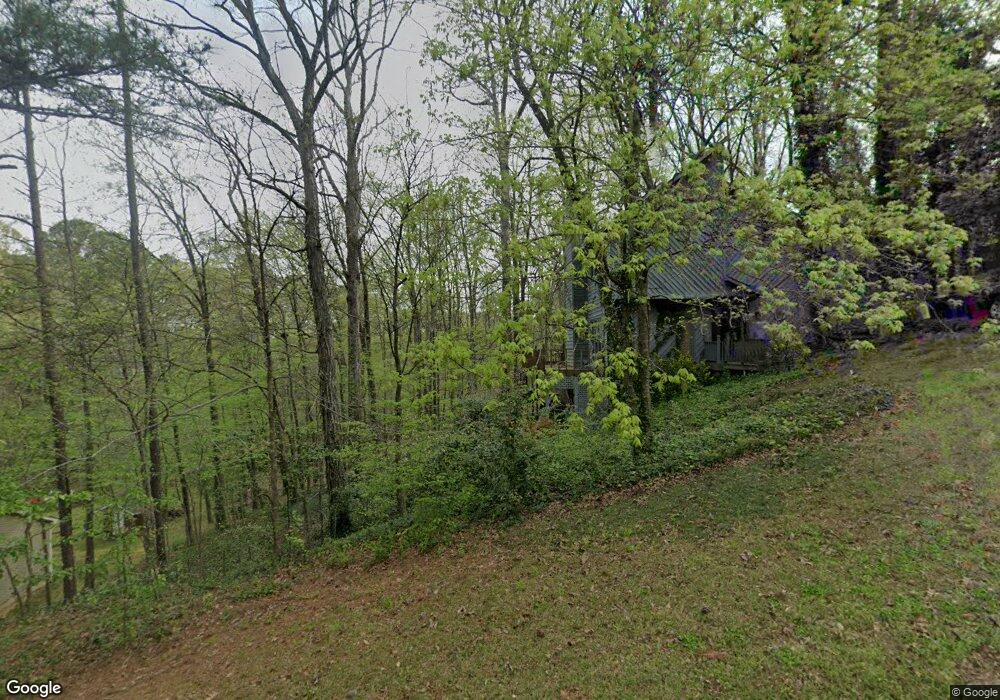
621 Sioux Dr Macon, GA 31210
Estimated Value: $249,000 - $275,000
3
Beds
4
Baths
1,576
Sq Ft
$165/Sq Ft
Est. Value
About This Home
This home is located at 621 Sioux Dr, Macon, GA 31210 and is currently estimated at $259,482, approximately $164 per square foot. 621 Sioux Dr is a home located in Bibb County with nearby schools including Lane Elementary School, Howard Middle School, and Howard High School.
Ownership History
Date
Name
Owned For
Owner Type
Purchase Details
Closed on
Nov 22, 2010
Sold by
Daniels John David
Bought by
Daniels Anna Louise
Current Estimated Value
Purchase Details
Closed on
Dec 12, 2007
Sold by
Johnson Robert Ellis
Bought by
Daniels Anna Beddingfield and Daniels John David
Home Financials for this Owner
Home Financials are based on the most recent Mortgage that was taken out on this home.
Original Mortgage
$20,000
Outstanding Balance
$3,536
Interest Rate
6.21%
Mortgage Type
Unknown
Estimated Equity
$255,946
Purchase Details
Closed on
Sep 28, 2007
Sold by
Daniels Anna Beddingfield and Daniels John David
Bought by
Johnson Robert Ellis
Purchase Details
Closed on
Mar 14, 2005
Sold by
Beddingfield Anna
Bought by
Daniels Anna Beddingfield and Daniels John David
Purchase Details
Closed on
Sep 17, 2004
Create a Home Valuation Report for This Property
The Home Valuation Report is an in-depth analysis detailing your home's value as well as a comparison with similar homes in the area
Home Values in the Area
Average Home Value in this Area
Purchase History
| Date | Buyer | Sale Price | Title Company |
|---|---|---|---|
| Daniels Anna Louise | -- | None Available | |
| Daniels Anna Beddingfield | -- | None Available | |
| Johnson Robert Ellis | -- | None Available | |
| Daniels Anna Beddingfield | -- | None Available | |
| -- | $145,000 | -- |
Source: Public Records
Mortgage History
| Date | Status | Borrower | Loan Amount |
|---|---|---|---|
| Open | Daniels Anna Beddingfield | $20,000 |
Source: Public Records
Tax History Compared to Growth
Tax History
| Year | Tax Paid | Tax Assessment Tax Assessment Total Assessment is a certain percentage of the fair market value that is determined by local assessors to be the total taxable value of land and additions on the property. | Land | Improvement |
|---|---|---|---|---|
| 2025 | $2,059 | $90,800 | $34,200 | $56,600 |
| 2024 | $2,128 | $90,800 | $34,200 | $56,600 |
| 2023 | $1,671 | $90,800 | $34,200 | $56,600 |
| 2022 | $2,038 | $65,875 | $11,685 | $54,190 |
| 2021 | $1,844 | $55,535 | $11,685 | $43,850 |
| 2020 | $1,884 | $55,535 | $11,685 | $43,850 |
| 2019 | $1,900 | $55,535 | $11,685 | $43,850 |
| 2018 | $2,803 | $50,751 | $11,036 | $39,715 |
| 2017 | $1,483 | $46,572 | $11,036 | $35,536 |
| 2016 | $1,366 | $46,492 | $11,617 | $34,876 |
| 2015 | $1,934 | $46,492 | $11,617 | $34,876 |
| 2014 | $2,276 | $46,492 | $11,617 | $34,876 |
Source: Public Records
Map
Nearby Homes
- 602 Commanche Dr
- 556 Commanche Place
- 121 Brookstone Way
- 673 Commanche Dr
- 750 Stonington Place
- 106 Brandon Way
- 668 Monticlair Dr
- 1224 Timberlane Dr
- 825 Forest Lake Dr S
- 731 Lokchapee Dr
- 753 Lokchapee Dr
- 1270 Lake Valley Rd
- 859 Forest Lake Dr S
- 636 Lokchapee Ridge
- 4620 S Stratford Oaks Dr
- 627 Lokchapee Ridge
- 4713 Lattimore Dr
- 1344 Lake Valley Rd
- 4811 Guerry Dr
- 870 Glen Hill Ct
- 600 Commanche Dr
- 643 Sioux Dr
- 596 Commanche Dr
- 640 Sioux Dr
- 0 Sioux Dr
- 662 Sioux Dr
- 604 Commanche Dr
- 601 Commanche Dr
- 585 Commanche Dr
- 605 Commanche Dr
- 675 Sioux Dr
- 584 Commanche Dr
- 609 Commanche Dr
- 606 Commanche Dr
- 678 Sioux Dr
- 570 Sioux Dr
- 580 Commanche Place
- 614 Commanche Dr
- 568 Commanche Place
- 692 Sioux Dr