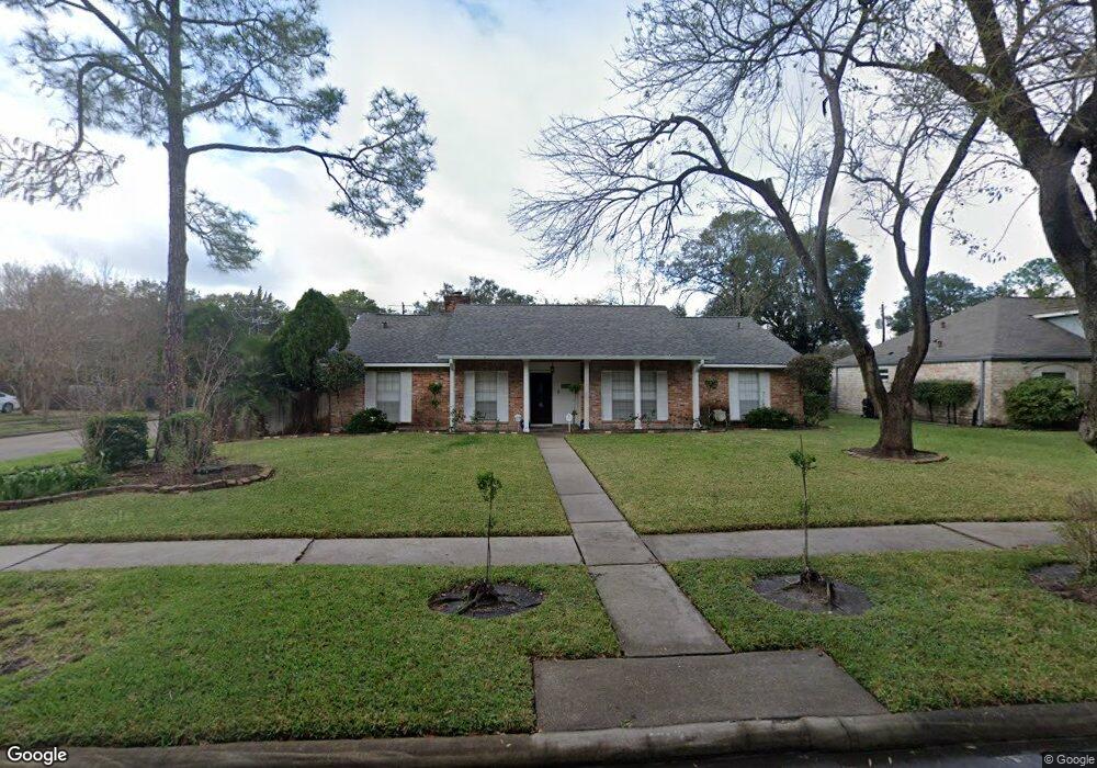
6210 Burning Tree Dr Houston, TX 77036
Sharpstown NeighborhoodEstimated Value: $294,000 - $327,000
4
Beds
2
Baths
2,043
Sq Ft
$153/Sq Ft
Est. Value
About This Home
This home is located at 6210 Burning Tree Dr, Houston, TX 77036 and is currently estimated at $311,816, approximately $152 per square foot. 6210 Burning Tree Dr is a home located in Harris County with nearby schools including Emerson Elementary School, Paul Revere Middle School, and Wisdom High School.
Ownership History
Date
Name
Owned For
Owner Type
Purchase Details
Closed on
Apr 27, 2023
Sold by
Flores Agustin
Bought by
Arciniega Catalina Paco
Current Estimated Value
Purchase Details
Closed on
Oct 10, 2016
Sold by
Flores Martha and Flores Agustin
Bought by
Paco Catalin
Purchase Details
Closed on
Oct 18, 2001
Sold by
Tan Lim Siew Kim and Chen Ping Kwang
Bought by
Flores Martha
Home Financials for this Owner
Home Financials are based on the most recent Mortgage that was taken out on this home.
Original Mortgage
$105,600
Interest Rate
6.84%
Create a Home Valuation Report for This Property
The Home Valuation Report is an in-depth analysis detailing your home's value as well as a comparison with similar homes in the area
Home Values in the Area
Average Home Value in this Area
Purchase History
| Date | Buyer | Sale Price | Title Company |
|---|---|---|---|
| Arciniega Catalina Paco | -- | None Listed On Document | |
| Paco Catalin | -- | None Available | |
| Flores Martha | -- | First American Title |
Source: Public Records
Mortgage History
| Date | Status | Borrower | Loan Amount |
|---|---|---|---|
| Previous Owner | Flores Martha | $105,600 |
Source: Public Records
Tax History Compared to Growth
Tax History
| Year | Tax Paid | Tax Assessment Tax Assessment Total Assessment is a certain percentage of the fair market value that is determined by local assessors to be the total taxable value of land and additions on the property. | Land | Improvement |
|---|---|---|---|---|
| 2025 | $891 | $284,476 | $74,039 | $210,437 |
| 2024 | $891 | $260,762 | $74,039 | $186,723 |
| 2023 | $891 | $287,621 | $74,039 | $213,582 |
| 2022 | $1,399 | $266,956 | $74,039 | $192,917 |
| 2021 | $5,486 | $235,384 | $66,106 | $169,278 |
| 2020 | $5,597 | $223,754 | $55,529 | $168,225 |
| 2019 | $5,841 | $223,754 | $55,529 | $168,225 |
| 2018 | $1,401 | $211,810 | $55,529 | $156,281 |
| 2017 | $4,826 | $208,243 | $55,529 | $152,714 |
| 2016 | $4,387 | $185,480 | $55,529 | $129,951 |
| 2015 | $2,694 | $185,480 | $55,529 | $129,951 |
| 2014 | $2,694 | $167,892 | $55,529 | $112,363 |
Source: Public Records
Map
Nearby Homes
- 6411 Redding Rd
- 8579 Sands Point Dr Unit 102
- 8555 Sands Point Dr Unit 90
- 8543 Sands Point Dr
- 8435 Sands Point Dr
- 8411 Sands Point Dr Unit 18
- 8359 Sands Point Dr Unit 218
- 8275 Sands Point Dr Unit 176
- 8267 Sands Point Dr Unit 172
- 8257 Sands Point Dr Unit 167
- 8231 Sands Point Dr Unit 154
- 6602 Harbor Town Dr Unit 1207
- 6602 Harbor Town Dr Unit 1202
- 6500 Harbor Town Dr Unit 3208
- 6500 Harbor Town Dr Unit 2808
- 6500 Harbor Town Dr Unit 3204
- 6500 Harbor Town Dr Unit 3408
- 6500 Harbor Town Dr Unit 2902
- 8223 Golf Green Cir
- 8153 Sands Point Dr Unit 115
- 6206 Burning Tree Dr
- 6302 Burning Tree Dr
- 6211 Redding Rd
- 6202 Burning Tree Dr
- 6207 Redding Rd
- 6303 Redding Rd
- 6306 Burning Tree Dr
- 6203 Redding Rd
- 6203 Burning Tree Dr
- 6110 Burning Tree Dr
- 6207 Burning Tree Dr
- 6111 Burning Tree Dr
- 6307 Redding Rd
- 6311 Burning Tree Dr
- 6111 Redding Rd
- 6310 Burning Tree Dr
- 6106 Burning Tree Dr
- 6109 Burning Tree Dr
- 6311 Redding Rd
- 6315 Burning Tree Dr