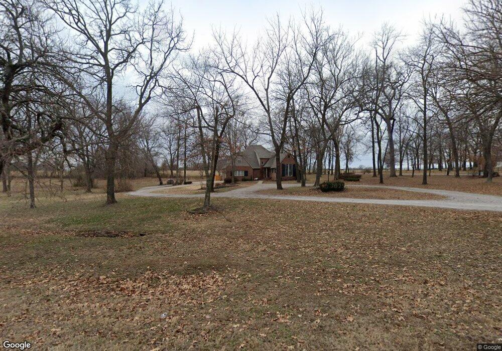
6210 Garrett Ln Rogers, AR 72758
Estimated Value: $930,000 - $1,103,000
--
Bed
3
Baths
3,636
Sq Ft
$275/Sq Ft
Est. Value
About This Home
This home is located at 6210 Garrett Ln, Rogers, AR 72758 and is currently estimated at $1,001,705, approximately $275 per square foot. 6210 Garrett Ln is a home located in Benton County with nearby schools including Janie Darr Elementary School, Elmwood Middle School, and Rogers High School.
Ownership History
Date
Name
Owned For
Owner Type
Purchase Details
Closed on
Mar 29, 2021
Sold by
Powell Andrew and Powell Mckenzie
Bought by
The Hill Family Trust and Waters Hill Jeanne
Current Estimated Value
Home Financials for this Owner
Home Financials are based on the most recent Mortgage that was taken out on this home.
Original Mortgage
$420,000
Interest Rate
2.9%
Mortgage Type
New Conventional
Purchase Details
Closed on
Nov 27, 1996
Bought by
Daniel Daniel 2 and Daniel 50Ac
Purchase Details
Closed on
Aug 23, 1996
Bought by
Rhodes 5Ac
Purchase Details
Closed on
May 3, 1996
Bought by
Sparks
Create a Home Valuation Report for This Property
The Home Valuation Report is an in-depth analysis detailing your home's value as well as a comparison with similar homes in the area
Home Values in the Area
Average Home Value in this Area
Purchase History
| Date | Buyer | Sale Price | Title Company |
|---|---|---|---|
| The Hill Family Trust | -- | Amrock | |
| Powell Andrew | -- | Amrock | |
| Daniel Daniel 2 | $35,000 | -- | |
| Rhodes 5Ac | -- | -- | |
| Sparks | -- | -- | |
| May | $5,000 | -- |
Source: Public Records
Mortgage History
| Date | Status | Borrower | Loan Amount |
|---|---|---|---|
| Previous Owner | Powell Andrew | $420,000 |
Source: Public Records
Tax History Compared to Growth
Tax History
| Year | Tax Paid | Tax Assessment Tax Assessment Total Assessment is a certain percentage of the fair market value that is determined by local assessors to be the total taxable value of land and additions on the property. | Land | Improvement |
|---|---|---|---|---|
| 2025 | $5,997 | $179,028 | $62,500 | $116,528 |
| 2024 | $5,585 | $179,028 | $62,500 | $116,528 |
| 2023 | $5,319 | $100,550 | $30,000 | $70,550 |
| 2022 | $5,155 | $100,550 | $30,000 | $70,550 |
| 2021 | $5,141 | $100,550 | $30,000 | $70,550 |
| 2020 | $2,244 | $80,920 | $33,000 | $47,920 |
| 2019 | $2,244 | $80,920 | $33,000 | $47,920 |
| 2018 | $2,269 | $80,920 | $33,000 | $47,920 |
| 2017 | $2,126 | $80,920 | $33,000 | $47,920 |
| 2016 | $2,126 | $80,920 | $33,000 | $47,920 |
| 2015 | $2,523 | $73,530 | $15,000 | $58,530 |
| 2014 | $2,173 | $73,530 | $15,000 | $58,530 |
Source: Public Records
Map
Nearby Homes
- 4587 W Garrett Rd
- 6400 S 46th Blvd
- 6098 S Pack Ln
- Single Family Portfo Group 1
- Single Family Portfo Group 2
- 6099 S Pack Ln
- 6253 S Mount Hebron Rd
- TBD S Pack Ln
- 6510 S 49th St
- 4116 W Erin Dr
- 5001 W Lakewood Ct
- 4109 W Candlewood Place
- 4503 W Canopy Meadows Dr
- 4112 W Erin Dr
- 4114 W Erin Dr
- 4110 W Erin Dr
- 4108 W Erin Dr
- 4402 W Canopy Meadows Dr
- 503 Driftwood St
- 4107 W Murfield Dr
- 6210 S Garrett Ln
- 6252 Garrett Ln
- 6252 S Garrett Ln
- 6211 Garrett Ln
- 4759 Garrett Rd
- 6274 Garrett Ln
- 6263 Garrett Ln
- 4511 W Buckeye Dr
- 4513 W Buckeye Dr
- 4614 Garrett Rd
- 4509 W Buckeye Dr
- 4532 Garrett Rd
- 4515 W Buckeye Dr
- 0 10846 S 45th St
- 4507 W Buckeye Dr
- 4517 W Buckeye Dr
- -- W Buckeye Dr
- 6286 Garrett Ln
- 4508 W Buckeye Dr
- 4968 Garrett Rd