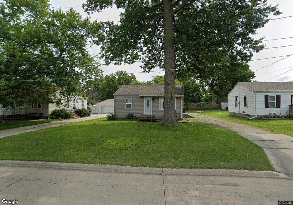
6211 SW 18th St Des Moines, IA 50315
Watrous South NeighborhoodEstimated Value: $143,143 - $183,000
2
Beds
1
Bath
672
Sq Ft
$239/Sq Ft
Est. Value
About This Home
This home is located at 6211 SW 18th St, Des Moines, IA 50315 and is currently estimated at $160,536, approximately $238 per square foot. 6211 SW 18th St is a home located in Polk County with nearby schools including Morris Elementary School, Brody Middle School, and Lincoln High School.
Ownership History
Date
Name
Owned For
Owner Type
Purchase Details
Closed on
Jan 25, 1997
Sold by
King Larry Douglas
Bought by
Leanos Marin and Leanos Elsa
Current Estimated Value
Home Financials for this Owner
Home Financials are based on the most recent Mortgage that was taken out on this home.
Original Mortgage
$40,800
Outstanding Balance
$4,453
Interest Rate
7.81%
Estimated Equity
$156,083
Create a Home Valuation Report for This Property
The Home Valuation Report is an in-depth analysis detailing your home's value as well as a comparison with similar homes in the area
Home Values in the Area
Average Home Value in this Area
Purchase History
| Date | Buyer | Sale Price | Title Company |
|---|---|---|---|
| Leanos Marin | $50,500 | -- |
Source: Public Records
Mortgage History
| Date | Status | Borrower | Loan Amount |
|---|---|---|---|
| Open | Leanos Marin | $40,800 |
Source: Public Records
Tax History Compared to Growth
Tax History
| Year | Tax Paid | Tax Assessment Tax Assessment Total Assessment is a certain percentage of the fair market value that is determined by local assessors to be the total taxable value of land and additions on the property. | Land | Improvement |
|---|---|---|---|---|
| 2025 | $2,446 | $139,300 | $35,800 | $103,500 |
| 2024 | $2,446 | $124,300 | $31,400 | $92,900 |
| 2023 | $2,446 | $124,300 | $31,400 | $92,900 |
| 2022 | $2,428 | $103,800 | $26,900 | $76,900 |
| 2021 | $2,348 | $103,800 | $26,900 | $76,900 |
| 2020 | $2,440 | $94,100 | $24,200 | $69,900 |
| 2019 | $2,674 | $94,100 | $24,200 | $69,900 |
| 2018 | $3,272 | $84,600 | $21,400 | $63,200 |
| 2017 | $2,537 | $84,600 | $21,400 | $63,200 |
| 2016 | $2,374 | $78,300 | $19,400 | $58,900 |
| 2015 | $2,064 | $78,300 | $19,400 | $58,900 |
| 2014 | $1,820 | $71,100 | $17,500 | $53,600 |
Source: Public Records
Map
Nearby Homes
- 1500 Leland Ave
- 1801 Payton Ave
- 6107 SW 14th St
- 1419 Payton Ave
- 1310 Leland Ave
- 1616 Southlawn Dr
- 6001 SW 13th Place
- 1214 Leland Ave
- 1225 West St
- 1616 Porter Ave
- 1810 Porter Ave
- 1313 Burnham Ave
- 1304 Wall Ave
- 6205 SW 12th St
- 1210 Highview Dr
- 1161 Bundy St
- 1401 Cutler Ave
- 1334 Wade St
- 5410 SW 20th St
- 1115 Rittenhouse St
- 6303 SW 18th St
- 6209 SW 18th St
- 6305 SW 18th St
- 6207 SW 18th St
- 6205 SW 18th St
- 1725 Army Post Rd
- 6203 SW 18th St
- 1620 Leland Ave
- 1618 Leland Ave
- 1617 Army Post Rd
- 6201 SW 18th St
- 1800 Leland Ave
- 1616 Leland Ave
- 1615 Army Post Rd
- 1614 Leland Ave
- 1805 Army Post Rd
- 1804 Leland Ave
- 1608 Army Post Rd
- 1700 Army Post Rd
- 1702 Army Post Rd