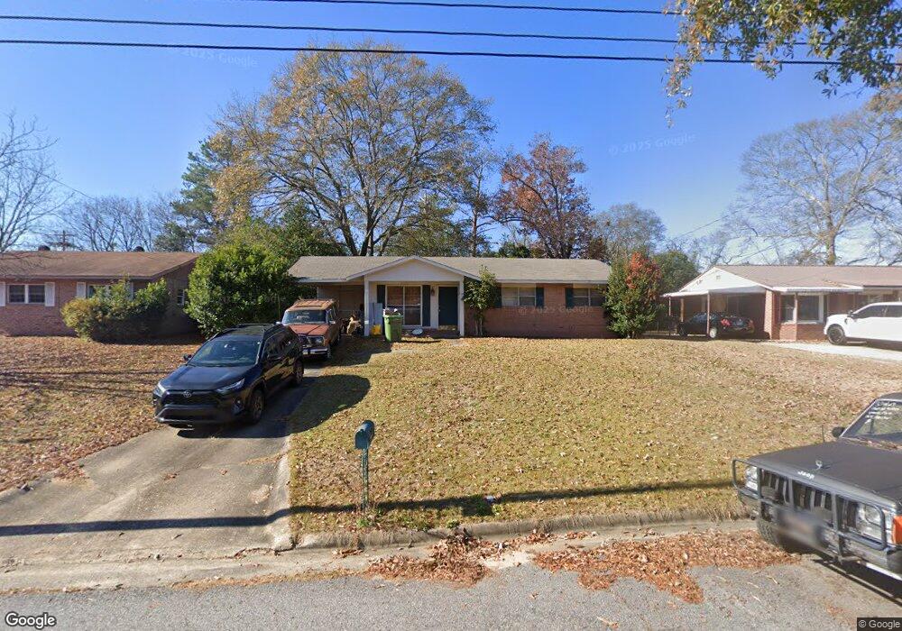
6213 Westbrook Dr Columbus, GA 31909
Northern Columbus NeighborhoodEstimated Value: $144,000 - $187,000
3
Beds
2
Baths
1,040
Sq Ft
$156/Sq Ft
Est. Value
About This Home
This home is located at 6213 Westbrook Dr, Columbus, GA 31909 and is currently estimated at $162,004, approximately $155 per square foot. 6213 Westbrook Dr is a home located in Muscogee County with nearby schools including Allen Elementary School, Arnold Middle School, and Jordan Vocational High School.
Ownership History
Date
Name
Owned For
Owner Type
Purchase Details
Closed on
Jul 21, 2010
Sold by
Moore Joyce and Boulineau Joyce M
Bought by
Applewhite John M
Current Estimated Value
Home Financials for this Owner
Home Financials are based on the most recent Mortgage that was taken out on this home.
Original Mortgage
$89,381
Outstanding Balance
$57,219
Interest Rate
4%
Mortgage Type
VA
Estimated Equity
$104,785
Create a Home Valuation Report for This Property
The Home Valuation Report is an in-depth analysis detailing your home's value as well as a comparison with similar homes in the area
Home Values in the Area
Average Home Value in this Area
Purchase History
| Date | Buyer | Sale Price | Title Company |
|---|---|---|---|
| Applewhite John M | $87,500 | None Available |
Source: Public Records
Mortgage History
| Date | Status | Borrower | Loan Amount |
|---|---|---|---|
| Open | Applewhite John M | $89,381 |
Source: Public Records
Tax History Compared to Growth
Tax History
| Year | Tax Paid | Tax Assessment Tax Assessment Total Assessment is a certain percentage of the fair market value that is determined by local assessors to be the total taxable value of land and additions on the property. | Land | Improvement |
|---|---|---|---|---|
| 2025 | $847 | $39,376 | $8,256 | $31,120 |
| 2024 | $846 | $39,376 | $8,256 | $31,120 |
| 2023 | $157 | $39,376 | $8,256 | $31,120 |
| 2022 | $881 | $33,232 | $8,256 | $24,976 |
| 2021 | $875 | $34,472 | $8,256 | $26,216 |
| 2020 | $875 | $34,472 | $8,256 | $26,216 |
| 2019 | $880 | $34,472 | $8,256 | $26,216 |
| 2018 | $880 | $34,472 | $8,256 | $26,216 |
| 2017 | $884 | $34,472 | $8,256 | $26,216 |
| 2016 | $889 | $34,813 | $3,318 | $31,495 |
| 2015 | $890 | $34,813 | $3,318 | $31,495 |
| 2014 | $892 | $34,813 | $3,318 | $31,495 |
| 2013 | -- | $34,813 | $3,318 | $31,495 |
Source: Public Records
Map
Nearby Homes
- 6225 Westbrook Dr
- 6226 Westbrook Dr
- 6231 Westbrook Dr
- 6232 Westbrook Dr
- 2528 Lorraine St
- 2516 Lorraine St
- 6308 Adams Park Dr
- 5829 Ventura Dr
- 3120 Weems Rd
- 5552 Perry Ave
- 6233 Ashwood Dr
- 6200 Fox Chapel Dr
- 3204 Weems Rd
- 6138 Seaton Dr
- 3325 N North Quay Dr
- 2208 Airport Thruway
- 6221 Charing Dr
- 5534 Orchard Dr
- 2014 Airport Thruway
- 5608 Grove Ave
- 6219 Westbrook Dr
- 6201 Westbrook Dr
- 6212 Westbrook Dr
- 6200 Westbrook Dr
- 6121 Westbrook Dr
- 6120 Westbrook Dr
- 5 Belfry Ct
- 6115 Westbrook Dr
- 6 Belfry Ct
- 6114 Westbrook Dr
- 2712 Desmond Dr
- 4 Belfry Ct
- 6108 Westbrook Dr
- 2718 Desmond Dr
- 6101 Westbrook Dr
- 2 Bigby Ct
- 6100 Westbrook Dr
- 3 Belfry Ct
- 2 Belfry Ct
- 3 Bigby Ct