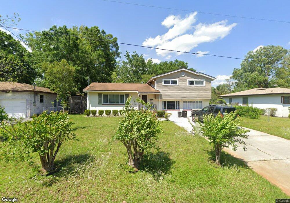
6215 Graves St Jacksonville, FL 32210
Cedar Hills NeighborhoodEstimated Value: $197,464 - $234,000
3
Beds
2
Baths
1,446
Sq Ft
$152/Sq Ft
Est. Value
About This Home
This home is located at 6215 Graves St, Jacksonville, FL 32210 and is currently estimated at $220,116, approximately $152 per square foot. 6215 Graves St is a home located in Duval County with nearby schools including Cedar Hills Elementary School, Westside Middle School, and Portola High School.
Ownership History
Date
Name
Owned For
Owner Type
Purchase Details
Closed on
Aug 27, 2025
Sold by
Bell Patricia A
Bought by
Bell Patricia A and Bell Kristann
Current Estimated Value
Purchase Details
Closed on
Jun 10, 2014
Sold by
Bell Neal A
Bought by
Bell Patricia A
Purchase Details
Closed on
Aug 19, 2000
Sold by
Mack Shanon L and Mack Francis P
Bought by
Bell Neal A and Bell Patricia A
Home Financials for this Owner
Home Financials are based on the most recent Mortgage that was taken out on this home.
Original Mortgage
$75,358
Interest Rate
8.24%
Mortgage Type
FHA
Purchase Details
Closed on
Mar 26, 1997
Sold by
Grindstaff James E and Grindstaff Milagros B
Bought by
Mack Francis P and Mack Shanon L
Home Financials for this Owner
Home Financials are based on the most recent Mortgage that was taken out on this home.
Original Mortgage
$76,687
Interest Rate
7.69%
Mortgage Type
FHA
Create a Home Valuation Report for This Property
The Home Valuation Report is an in-depth analysis detailing your home's value as well as a comparison with similar homes in the area
Home Values in the Area
Average Home Value in this Area
Purchase History
| Date | Buyer | Sale Price | Title Company |
|---|---|---|---|
| Bell Patricia A | $100 | None Listed On Document | |
| Bell Patricia A | $4,300 | None Available | |
| Bell Neal A | $76,000 | -- | |
| Mack Francis P | $76,900 | -- |
Source: Public Records
Mortgage History
| Date | Status | Borrower | Loan Amount |
|---|---|---|---|
| Previous Owner | Bell Neal A | $75,358 | |
| Previous Owner | Mack Francis P | $76,687 |
Source: Public Records
Tax History Compared to Growth
Tax History
| Year | Tax Paid | Tax Assessment Tax Assessment Total Assessment is a certain percentage of the fair market value that is determined by local assessors to be the total taxable value of land and additions on the property. | Land | Improvement |
|---|---|---|---|---|
| 2025 | $473 | $72,105 | -- | -- |
| 2024 | $464 | $70,073 | -- | -- |
| 2023 | $464 | $68,033 | $0 | $0 |
| 2022 | $413 | $66,052 | $0 | $0 |
| 2021 | $415 | $64,129 | $0 | $0 |
| 2020 | $414 | $63,244 | $0 | $0 |
| 2019 | $445 | $61,823 | $0 | $0 |
| 2018 | $730 | $60,671 | $0 | $0 |
| 2017 | $729 | $59,424 | $0 | $0 |
| 2016 | $732 | $58,202 | $0 | $0 |
| 2015 | $454 | $57,798 | $0 | $0 |
| 2014 | $457 | $57,340 | $0 | $0 |
Source: Public Records
Map
Nearby Homes
- 6220 Graves St
- 6217 Sage Dr
- 6256 Sage Dr
- 6241 Autlan Dr
- 6216 Sudbury Ave S
- 6350 Harlow Blvd
- 6116 Sudbury Ave S
- 6234 Alexon Dr
- 6309 Mercado Dr
- 4152 Arcot Cir
- 4635 Arthur Durham Dr E
- 4109 Tyndale Dr
- 4034 Tyndale Dr
- 4014 Rendale Dr
- 4115 Arcot Cir
- 4302 Buck Point Rd
- 4444 Rainer Rd
- 4036 Blanding Blvd
- 3914 Cobalt Ave E
- 3903 Rendale Dr N
- 6221 Graves St
- 6205 Graves St
- 6220 Harlow Blvd
- 6226 Harlow Blvd
- 6210 Harlow Blvd
- 6227 Graves St
- 6214 Graves St
- 6234 Harlow Blvd
- 6204 Graves St
- 6228 Graves St
- 6235 Graves St
- 6240 Harlow Blvd
- 4321 Fender Dr
- 4315 Fender Ct
- 6234 Graves St
- 4321 Fender Ct
- 6227 Thumper St
- 6219 Thumper St
- 6156 Harlow Blvd
- 6235 Thumper St Unit 7