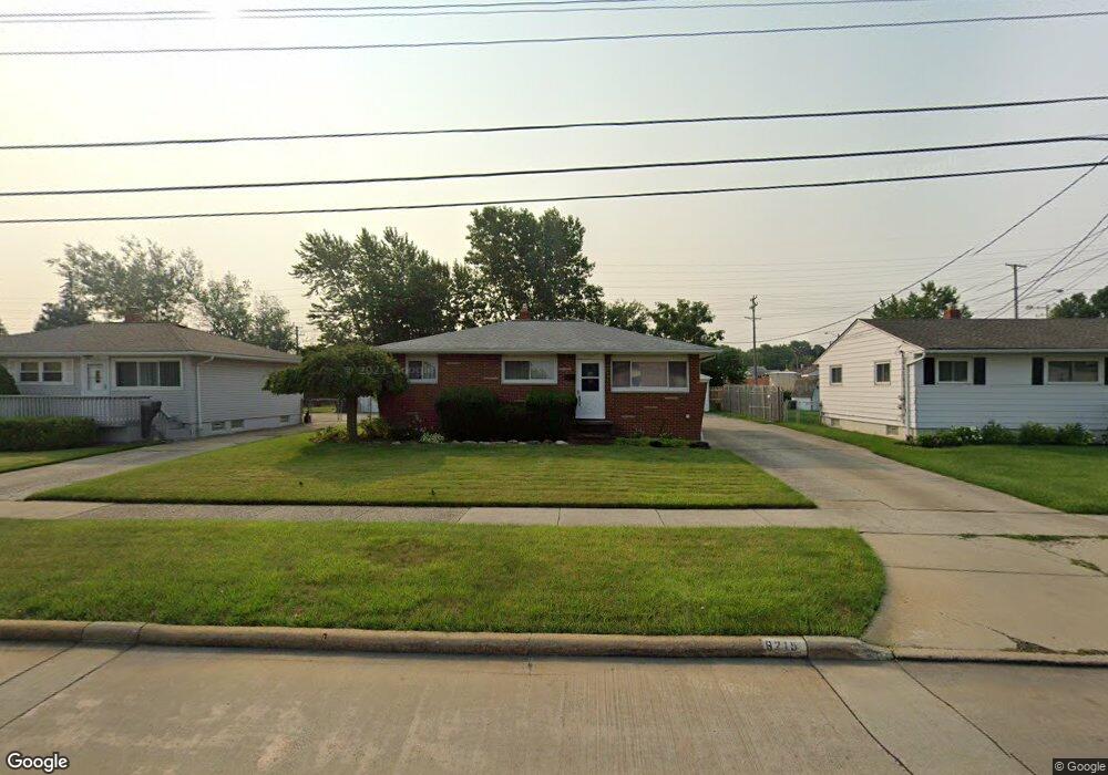
6215 Michael Dr Brookpark, OH 44142
Estimated Value: $181,000 - $222,000
3
Beds
1
Bath
1,015
Sq Ft
$202/Sq Ft
Est. Value
About This Home
This home is located at 6215 Michael Dr, Brookpark, OH 44142 and is currently estimated at $204,967, approximately $201 per square foot. 6215 Michael Dr is a home located in Cuyahoga County with nearby schools including Berea-Midpark Middle School, Berea-Midpark High School, and Huber Heights Preparatory Academy Parma Academy.
Ownership History
Date
Name
Owned For
Owner Type
Purchase Details
Closed on
Oct 5, 2004
Sold by
Singh Jagessar and Singh Champawatti
Bought by
Whigham Perry B
Current Estimated Value
Home Financials for this Owner
Home Financials are based on the most recent Mortgage that was taken out on this home.
Original Mortgage
$121,600
Outstanding Balance
$60,867
Interest Rate
5.93%
Mortgage Type
Purchase Money Mortgage
Estimated Equity
$144,100
Purchase Details
Closed on
Aug 6, 1996
Sold by
Thomas Timothy M
Bought by
Singh Jagessar and Singh Champawatti
Home Financials for this Owner
Home Financials are based on the most recent Mortgage that was taken out on this home.
Original Mortgage
$73,000
Interest Rate
8.33%
Mortgage Type
New Conventional
Purchase Details
Closed on
Oct 25, 1990
Sold by
Nero Gerald A and Nero Valarie L
Bought by
Thomas Timothy M
Purchase Details
Closed on
Apr 3, 1985
Sold by
Nero Gerald A
Bought by
Nero Gerald A and Nero Valarie L
Purchase Details
Closed on
Nov 8, 1979
Sold by
Mathieu Joseph C and Mathieu Frances N
Bought by
Nero Gerald A
Purchase Details
Closed on
Jan 1, 1975
Bought by
Mathieu Joseph C and Mathieu Frances N
Create a Home Valuation Report for This Property
The Home Valuation Report is an in-depth analysis detailing your home's value as well as a comparison with similar homes in the area
Home Values in the Area
Average Home Value in this Area
Purchase History
| Date | Buyer | Sale Price | Title Company |
|---|---|---|---|
| Whigham Perry B | $128,000 | Downtown Title Agency | |
| Singh Jagessar | $108,000 | -- | |
| Thomas Timothy M | $80,000 | -- | |
| Nero Gerald A | -- | -- | |
| Nero Gerald A | $59,000 | -- | |
| Mathieu Joseph C | -- | -- |
Source: Public Records
Mortgage History
| Date | Status | Borrower | Loan Amount |
|---|---|---|---|
| Open | Whigham Perry B | $121,600 | |
| Previous Owner | Singh Jagessar | $73,000 |
Source: Public Records
Tax History
| Year | Tax Paid | Tax Assessment Tax Assessment Total Assessment is a certain percentage of the fair market value that is determined by local assessors to be the total taxable value of land and additions on the property. | Land | Improvement |
|---|---|---|---|---|
| 2024 | $3,254 | $64,505 | $12,880 | $51,625 |
| 2023 | $3,132 | $51,420 | $10,750 | $40,670 |
| 2022 | $3,110 | $51,415 | $10,745 | $40,670 |
| 2021 | $3,092 | $51,420 | $10,750 | $40,670 |
| 2020 | $2,788 | $40,810 | $8,540 | $32,270 |
| 2019 | $2,705 | $116,600 | $24,400 | $92,200 |
| 2018 | $2,693 | $40,810 | $8,540 | $32,270 |
| 2017 | $2,632 | $36,830 | $7,600 | $29,230 |
| 2016 | $2,610 | $36,830 | $7,600 | $29,230 |
| 2015 | $2,449 | $36,830 | $7,600 | $29,230 |
| 2014 | $2,449 | $36,830 | $7,600 | $29,230 |
Source: Public Records
Map
Nearby Homes
- 14801 Larkfield Dr
- 6095 Stark Dr
- 14396 Park Dr
- 6103 Westbrook Dr
- 14024 Donald Dr
- 6014 Westbrook Dr
- 15424 Holland Rd
- 14398 Sheldon Rd
- 13602 Holland Rd
- 5889 Westbrook Dr
- 6330 Sandfield Dr
- 6386 Sandfield Dr
- 6377 Ledgebrook Dr
- 6330 Ledgebrook Dr
- 15532 Rademaker Dr
- 13750 Belfair Dr
- 5727 Gateway Ln Unit 1203
- 5757 Defiance Ave
- 6333 W 130th St
- 16117 Hocking Blvd
- 6225 Michael Dr
- 6205 Michael Dr
- 6195 Michael Dr
- 6235 Michael Dr
- 6185 Michael Dr
- 14611 Larkfield Dr
- 6175 Michael Dr
- 6200 Michael Dr
- 14640 Holland Rd
- 14635 Larkfield Dr
- 6190 Michael Dr
- 6165 Michael Dr
- 14676 Holland Rd
- 6245 Michael Dr
- 6180 Michael Dr
- 14671 Larkfield Dr
- 14638 Larkfield Dr
- 14310 Holland Rd
- 6100 Middlebrook Blvd
- 6161 Michael Dr
Your Personal Tour Guide
Ask me questions while you tour the home.