Estimated Value: $429,000 - $548,000
About This Home
This home is located at 622 Bunker Ln, Mason, OH 45040 and is currently estimated at $493,953, approximately $163 per square foot. 622 Bunker Ln is a home located in Warren County with nearby schools including Mason Intermediate Elementary School, Mason Middle School, and William Mason High School.
Ownership History
We collect this data history from publicly available records. To have your information removed, we recommend requesting removal directly through your county’s website.
Purchase Details
Purchase Details
Purchase Details
Home Financials for this Owner
Home Financials are based on the most recent Mortgage that was taken out on this home.Purchase Details
Home Financials for this Owner
Home Financials are based on the most recent Mortgage that was taken out on this home.Purchase Details
Purchase Details
Purchase Details
Purchase Details
Purchase Details
Home Values in the Area
Average Home Value in this Area
Purchase History
We collect this data history from publicly available records. To have your information removed, we recommend requesting removal directly through your county’s website.
| Date | Buyer | Sale Price | Title Company |
|---|---|---|---|
| -- | None Available | ||
| $242,500 | Lawyers Title | ||
| $222,000 | -- | ||
| $192,500 | -- | ||
| $183,000 | -- | ||
| $175,000 | -- | ||
| -- | -- | ||
| $150,000 | -- | ||
| -- | -- |
Mortgage History
We collect this data history from publicly available records. To have your information removed, we recommend requesting removal directly through your county’s website.
| Date | Status | Borrower | Loan Amount |
|---|---|---|---|
| Previous Owner | $177,600 | ||
| Previous Owner | $152,500 |
Tax History
We collect this data history from publicly available records. To have your information removed, we recommend requesting removal directly through your county’s website.
| Year | Tax Paid | Tax Assessment Tax Assessment Total Assessment is a certain percentage of the fair market value that is determined by local assessors to be the total taxable value of land and additions on the property. | Land | Improvement |
|---|---|---|---|---|
| 2025 | $4,518 | $121,120 | $24,500 | $96,620 |
| 2024 | $4,518 | $121,120 | $24,500 | $96,620 |
| 2023 | $4,219 | $96,572 | $14,455 | $82,117 |
| 2022 | $4,165 | $96,572 | $14,455 | $82,117 |
| 2021 | $3,945 | $96,572 | $14,455 | $82,117 |
| 2020 | $3,829 | $81,841 | $12,250 | $69,591 |
| 2019 | $3,520 | $81,841 | $12,250 | $69,591 |
| 2018 | $3,532 | $81,841 | $12,250 | $69,591 |
| 2017 | $3,472 | $75,817 | $11,988 | $63,830 |
| 2016 | $3,576 | $75,817 | $11,988 | $63,830 |
| 2015 | $3,584 | $75,817 | $11,988 | $63,830 |
| 2014 | $3,717 | $73,610 | $11,640 | $61,970 |
| 2013 | $3,725 | $77,480 | $12,250 | $65,230 |
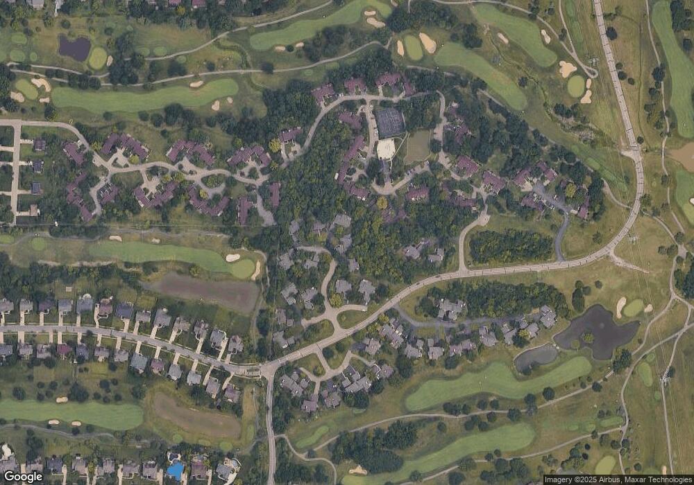
Map
- 618 Bunker Ln
- 995 Walnut Ct
- 602 Bunker Ln
- 376 Walnut Ln
- 394 Walnut Ln
- 566 Maple Ln
- 5921 Fairway Dr
- 423 Kings Mills Rd
- 197 Acoma Dr
- 3780 Sandtrap Cir
- 5795 Springview Cir
- 6445 Eagleview Dr
- 6377 Pinehurst Ln
- 3616 Sawgrass Ct
- 6358 Inverness Way
- 6460 Pinehurst Ln
- 6388 Inverness Way
- 342 Bexley Ct Unit 20
- 3895 Sandtrap Cir
- 5665 Cox Smith Rd
- 617 Bunker Ln
- 620 Bunker Ln
- 613 Bunker Ln
- 615 Bunker Ln
- 477 Clubhouse Dr
- 991 Walnut Ct
- 479 Clubhouse Dr
- 993 Walnut Ct
- 475 Clubhouse Dr
- 626 Bunker Ln
- 481 Clubhouse Dr
- 997 Walnut Ct
- 483 Clubhouse Dr
- 607 Bunker Ln
- 485 Clubhouse Dr
- 473 Clubhouse Dr
- . Bunker Ln
- 487 Clubhouse Dr
- 604 Bunker Ln
- 992 Walnut Ct
Ask me questions while you tour the home.