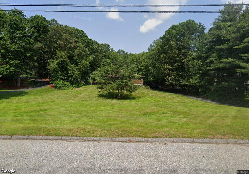
622 Cedar Grove Orange, CT 06477
Estimated Value: $736,000 - $827,000
5
Beds
3
Baths
2,715
Sq Ft
$288/Sq Ft
Est. Value
About This Home
This home is located at 622 Cedar Grove, Orange, CT 06477 and is currently estimated at $780,892, approximately $287 per square foot. 622 Cedar Grove is a home located in New Haven County with nearby schools including Mary L. Tracy School, Turkey Hill School, and Amity Middle School: Orange.
Ownership History
Date
Name
Owned For
Owner Type
Purchase Details
Closed on
Sep 30, 2002
Sold by
Carbone William R
Bought by
Gu Zhen-Di and Chang Shaohono
Current Estimated Value
Home Financials for this Owner
Home Financials are based on the most recent Mortgage that was taken out on this home.
Original Mortgage
$300,700
Outstanding Balance
$126,895
Interest Rate
6.25%
Mortgage Type
Purchase Money Mortgage
Estimated Equity
$653,997
Purchase Details
Closed on
Dec 2, 1998
Sold by
First Dev Group
Bought by
Syed Farooq and Syed Eman
Purchase Details
Closed on
Feb 23, 1993
Sold by
Cook Eugene R and Cook Patricia L
Bought by
Carbone William R
Purchase Details
Closed on
Jul 20, 1990
Sold by
Fawcett Jeffrey A
Bought by
Cook Eugene R
Create a Home Valuation Report for This Property
The Home Valuation Report is an in-depth analysis detailing your home's value as well as a comparison with similar homes in the area
Home Values in the Area
Average Home Value in this Area
Purchase History
| Date | Buyer | Sale Price | Title Company |
|---|---|---|---|
| Gu Zhen-Di | $410,000 | -- | |
| Gu Zhen-Di | $410,000 | -- | |
| Syed Farooq | $47,500 | -- | |
| Carbone William R | $325,000 | -- | |
| Carbone William R | $325,000 | -- | |
| Cook Eugene R | $310,000 | -- |
Source: Public Records
Mortgage History
| Date | Status | Borrower | Loan Amount |
|---|---|---|---|
| Open | Cook Eugene R | $133,255 | |
| Open | Cook Eugene R | $300,700 | |
| Closed | Cook Eugene R | $300,700 |
Source: Public Records
Tax History
| Year | Tax Paid | Tax Assessment Tax Assessment Total Assessment is a certain percentage of the fair market value that is determined by local assessors to be the total taxable value of land and additions on the property. | Land | Improvement |
|---|---|---|---|---|
| 2025 | $11,934 | $410,100 | $207,600 | $202,500 |
| 2024 | $12,713 | $410,100 | $207,600 | $202,500 |
| 2023 | $9,654 | $298,800 | $151,600 | $147,200 |
| 2022 | $9,774 | $298,800 | $151,600 | $147,200 |
| 2021 | $9,935 | $298,800 | $151,600 | $147,200 |
| 2020 | $9,783 | $298,800 | $151,600 | $147,200 |
| 2019 | $9,738 | $298,800 | $151,600 | $147,200 |
| 2018 | $9,562 | $298,800 | $151,600 | $147,200 |
| 2017 | $9,957 | $299,200 | $143,900 | $155,300 |
| 2016 | $9,634 | $299,200 | $143,900 | $155,300 |
| 2015 | $9,395 | $299,200 | $143,900 | $155,300 |
| 2014 | $9,126 | $299,200 | $143,900 | $155,300 |
Source: Public Records
Map
Nearby Homes
- 74 Victory St
- 500 River Rd Unit 3
- 20 3rd Ave
- 249 Coram Rd
- 4 Rivendell Dr
- 11A Derby-Milford Rd
- 88 Rocky Rest Rd
- 847 Glenbrook Rd
- 223 River Rd
- 133 Rocky Rest Rd
- 26 Bunker Hill Cir
- 444 Asbury Ridge
- 489 Derby Milford Rd
- 112 River Rd
- 1 Windward Way Unit 1
- 2 Windward Way Unit 2
- 830 Bayberry Ln
- 11 Westminster Ave
- 39 Westminster Ave
- 11 Manton St
- 628 Cedar Grove
- 616 Cedar Grove
- 639 Broadview Rd
- 627 Broadview Rd
- 623 Cedar Grove
- 607 Aspen Ln
- 651 Broadview Rd
- 615 Aspen Ln
- 636 Cedar Grove
- 615 Broadview Rd
- 639 Cedar Grove
- 623 Aspen Ln
- 631 Aspen Ln
- 601 Aspen Ln
- 650 Broadview Rd
- 605 Broadview Rd
- 660 Broadview Rd
- 604 Aspen Ln
- 636 Broadview Rd
- 604 Cedar Grove
Your Personal Tour Guide
Ask me questions while you tour the home.