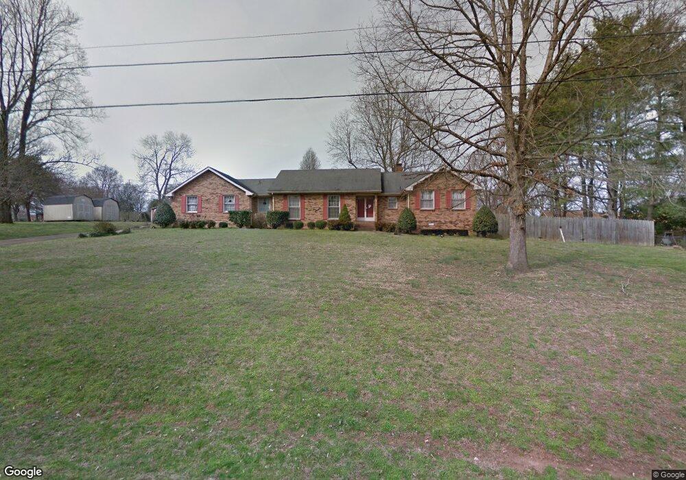
622 Confederate Cir Old Hickory, TN 37138
Estimated Value: $440,210 - $573,000
--
Bed
2
Baths
2,247
Sq Ft
$230/Sq Ft
Est. Value
About This Home
This home is located at 622 Confederate Cir, Old Hickory, TN 37138 and is currently estimated at $517,053, approximately $230 per square foot. 622 Confederate Cir is a home located in Wilson County with nearby schools including Lakeview Elementary School, Mt. Juliet Middle School, and Green Hill High School.
Ownership History
Date
Name
Owned For
Owner Type
Purchase Details
Closed on
Oct 30, 2006
Sold by
Hall Robert K
Bought by
Carol Brazell Brenda
Current Estimated Value
Home Financials for this Owner
Home Financials are based on the most recent Mortgage that was taken out on this home.
Original Mortgage
$134,000
Interest Rate
6.27%
Purchase Details
Closed on
Sep 4, 1986
Bought by
Hall Robt & Fidelity Federal
Create a Home Valuation Report for This Property
The Home Valuation Report is an in-depth analysis detailing your home's value as well as a comparison with similar homes in the area
Home Values in the Area
Average Home Value in this Area
Purchase History
| Date | Buyer | Sale Price | Title Company |
|---|---|---|---|
| Carol Brazell Brenda | $234,000 | -- | |
| Hall Robt & Fidelity Federal | $110,000 | -- |
Source: Public Records
Mortgage History
| Date | Status | Borrower | Loan Amount |
|---|---|---|---|
| Closed | Hall Robt & Fidelity Federal | $134,000 | |
| Closed | Hall Robt & Fidelity Federal | $43,498 |
Source: Public Records
Tax History Compared to Growth
Tax History
| Year | Tax Paid | Tax Assessment Tax Assessment Total Assessment is a certain percentage of the fair market value that is determined by local assessors to be the total taxable value of land and additions on the property. | Land | Improvement |
|---|---|---|---|---|
| 2024 | $1,437 | $75,275 | $17,500 | $57,775 |
| 2022 | $1,437 | $75,275 | $17,500 | $57,775 |
| 2021 | $1,437 | $75,275 | $17,500 | $57,775 |
| 2020 | $1,452 | $75,275 | $17,500 | $57,775 |
| 2019 | $1,452 | $57,625 | $11,550 | $46,075 |
| 2018 | $1,452 | $57,625 | $11,550 | $46,075 |
| 2017 | $1,452 | $57,625 | $11,550 | $46,075 |
| 2016 | $1,452 | $57,625 | $11,550 | $46,075 |
| 2015 | $1,481 | $57,625 | $11,550 | $46,075 |
| 2014 | $1,442 | $56,108 | $0 | $0 |
Source: Public Records
Map
Nearby Homes
- 313 Hollywood Dr
- 521 General Kershaw Dr
- 4815 Quail Hollow Dr
- 4826 Quail Hollow Dr
- 4858 Quail Run
- 4610 Woodside Dr
- 231 Green Harbor Rd Unit 69
- 231 Green Harbor Rd Unit 6F
- 231 Green Harbor Rd Unit 113A
- 4157 Brandywine Pointe Blvd
- 1001 Williams Way
- 208 Lowell Ct
- 2105 Chels Way
- 5128 Brittany Dr
- 240 Green Harbor Rd
- 1320 Autumn Springs Ln
- 366 Green Harbor Rd
- 1033 Wyntergrace Farm Rd
- 4016 Brandywine Pointe Blvd
- 116 Greenwich Ct
- 606 Confederate Cir
- 620 Confederate Cir
- 612 Confederate Cir
- 609 Rebel Rd
- 600 Confederate Cir
- 614 Confederate Cir
- 611 Confederate Cir
- 607 Rebel Rd
- 621 Rebel Rd
- 609 Confederate Cir
- 600 Rebel Rd
- 617 Rebel Rd
- 588 General Kershaw Dr
- 615 Confederate Cir
- 611 Rebel Rd
- 700 General Kershaw Dr
- 607 Confederate Cir
- 623 Rebel Rd
- 613 Confederate Cir
- 613 Rebel Rd