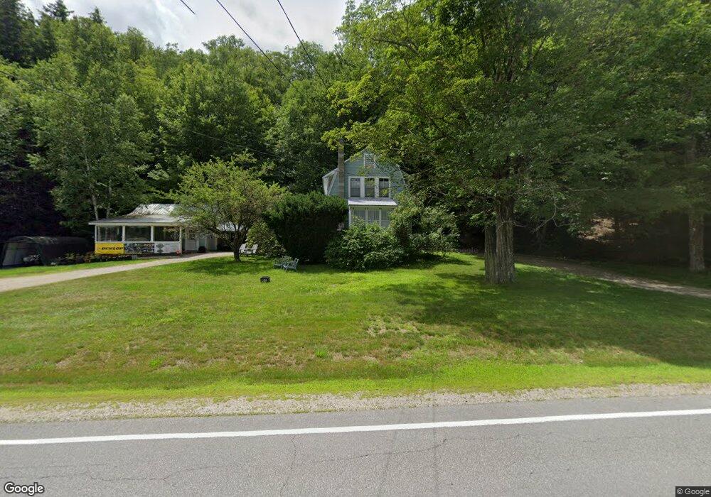
622 Daniel Webster Hwy North Woodstock, NH 03262
Estimated Value: $281,000 - $408,000
3
Beds
3
Baths
1,120
Sq Ft
$304/Sq Ft
Est. Value
About This Home
This home is located at 622 Daniel Webster Hwy, North Woodstock, NH 03262 and is currently estimated at $341,011, approximately $304 per square foot. 622 Daniel Webster Hwy is a home with nearby schools including Lin-Wood Public Elementary School, Lin-Wood Public Middle School, and Lin-Wood Public High School.
Ownership History
Date
Name
Owned For
Owner Type
Purchase Details
Closed on
Jan 24, 2003
Sold by
Mcinnis Michael S
Bought by
Whipple Terry Allen
Current Estimated Value
Home Financials for this Owner
Home Financials are based on the most recent Mortgage that was taken out on this home.
Original Mortgage
$58,100
Outstanding Balance
$25,173
Interest Rate
6.11%
Estimated Equity
$315,838
Create a Home Valuation Report for This Property
The Home Valuation Report is an in-depth analysis detailing your home's value as well as a comparison with similar homes in the area
Home Values in the Area
Average Home Value in this Area
Purchase History
| Date | Buyer | Sale Price | Title Company |
|---|---|---|---|
| Whipple Terry Allen | $72,800 | -- |
Source: Public Records
Mortgage History
| Date | Status | Borrower | Loan Amount |
|---|---|---|---|
| Open | Whipple Terry Allen | $58,100 |
Source: Public Records
Tax History Compared to Growth
Tax History
| Year | Tax Paid | Tax Assessment Tax Assessment Total Assessment is a certain percentage of the fair market value that is determined by local assessors to be the total taxable value of land and additions on the property. | Land | Improvement |
|---|---|---|---|---|
| 2024 | $2,600 | $127,970 | $65,700 | $62,270 |
| 2023 | $2,488 | $127,970 | $65,700 | $62,270 |
| 2022 | $2,352 | $127,970 | $65,700 | $62,270 |
| 2021 | $2,431 | $127,970 | $65,700 | $62,270 |
| 2020 | $2,553 | $127,970 | $65,700 | $62,270 |
| 2019 | $0 | $112,390 | $63,000 | $49,390 |
| 2018 | $0 | $112,390 | $63,000 | $49,390 |
| 2016 | $2,235 | $112,390 | $63,000 | $49,390 |
| 2015 | $2,128 | $112,390 | $63,000 | $49,390 |
| 2014 | $2,126 | $112,570 | $63,000 | $49,570 |
| 2012 | $2,120 | $118,570 | $64,260 | $54,310 |
Source: Public Records
Map
Nearby Homes
- 443 Eastside Rd
- 1033 Daniel Webster Hwy
- 1143 Daniel Webster Hwy
- 53 Daniel Webster Hwy
- 25 Main St
- 3-42 Barron Rd
- 57 Main St
- 206-011 Lost River Rd
- 56 Kancamagus Hwy
- 20 Crossing Dr Unit 301
- 11 Cascade Dr Unit 288
- 164 Deer Park Dr Unit 161D
- 156 Deer Park Dr Unit 135 A
- 164 Deer Park Dr Unit 173A
- 252-254 Lost River Rd
- 20 Condo Rd Unit 3
- 23 Oakes St
- 17 Ridge Dr Unit A-14
- 17 Ridge Dr A Unit 12
- 14 Grant Dr Unit 161
- 629 Daniel Webster Hwy
- 00 Daniel Webster Hwy
- 0 U S 3
- 641 Daniel Webster Hwy
- 670 Daniel Webster Hwy
- 676 Daniel Webster Hwy
- 1701 Daniel Webster Hwy
- 578 Daniel Webster Hwy
- 689 Daniel Webster Hwy
- 555 Daniel Webster Hwy
- 697 Daniel Webster Hwy
- 45 Us Rt 3 Hwy Unit 45
- 21 Mountain Park Dr
- 682 Daniel Webster Hwy
- 7 Houdes Dr
- 987 U S 3
- 378 Eastside Rd
- 14 New Hampshire 175
- 374 Eastside Rd
- 390 Eastside Rd