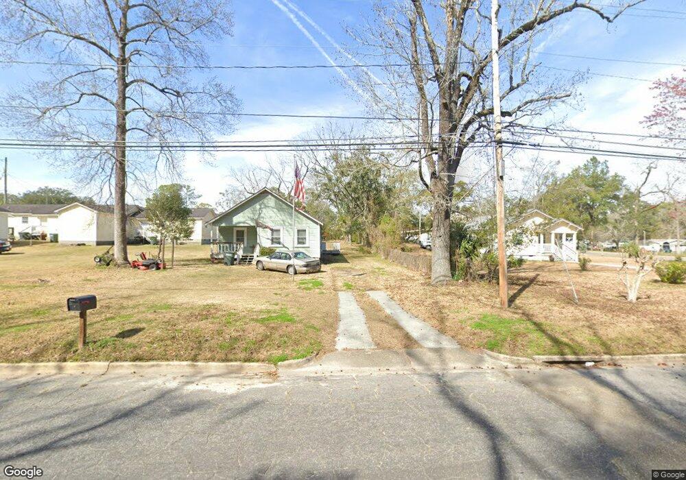
622 E Clay St Thomasville, GA 31792
Estimated Value: $349,318 - $398,000
Studio
4
Baths
1,776
Sq Ft
$214/Sq Ft
Est. Value
About This Home
This home is located at 622 E Clay St, Thomasville, GA 31792 and is currently estimated at $380,830, approximately $214 per square foot. 622 E Clay St is a home located in Thomas County with nearby schools including Thomasville High School, Thomasville Christian School, and World of Truth Christian Academy.
Ownership History
Date
Name
Owned For
Owner Type
Purchase Details
Closed on
Mar 10, 2019
Sold by
Crocker Claude E
Bought by
Liv Claude Crocker and Liv Claudia Crocker Rev
Current Estimated Value
Purchase Details
Closed on
Aug 16, 2012
Sold by
Farmers & Merchants Bank
Bought by
Mauch Steven M
Purchase Details
Closed on
Jun 11, 2012
Sold by
Artzi Residential Llc
Bought by
Farmers & Merchants Bank
Purchase Details
Closed on
Mar 11, 2008
Sold by
Brannan Donna
Bought by
Arzi Israel
Home Financials for this Owner
Home Financials are based on the most recent Mortgage that was taken out on this home.
Original Mortgage
$84,000
Interest Rate
5.68%
Mortgage Type
New Conventional
Purchase Details
Closed on
Jan 10, 2003
Sold by
Brannan Mark Alan
Bought by
Brannan Mark and Brannan Donna
Purchase Details
Closed on
Jan 31, 1996
Bought by
Brannan Mark Alan
Create a Home Valuation Report for This Property
The Home Valuation Report is an in-depth analysis detailing your home's value as well as a comparison with similar homes in the area
Purchase History
| Date | Buyer | Sale Price | Title Company |
|---|---|---|---|
| Liv Claude Crocker | -- | -- | |
| Mauch Steven M | $154,213 | -- | |
| Crocker Claude E | $153,262 | -- | |
| Farmers & Merchants Bank | -- | -- | |
| Arzi Israel | $84,000 | -- | |
| Brannan Mark | -- | -- | |
| Brannan Mark Alan | -- | -- |
Source: Public Records
Mortgage History
| Date | Status | Borrower | Loan Amount |
|---|---|---|---|
| Previous Owner | Arzi Israel | $84,000 |
Source: Public Records
Tax History
| Year | Tax Paid | Tax Assessment Tax Assessment Total Assessment is a certain percentage of the fair market value that is determined by local assessors to be the total taxable value of land and additions on the property. | Land | Improvement |
|---|---|---|---|---|
| 2025 | $3,213 | $134,280 | $7,288 | $126,992 |
| 2024 | $3,096 | $128,467 | $7,288 | $121,179 |
| 2023 | $2,900 | $117,226 | $7,288 | $109,938 |
| 2022 | $947 | $101,077 | $6,337 | $94,740 |
| 2021 | $950 | $92,255 | $6,337 | $85,918 |
| 2020 | $910 | $86,415 | $6,337 | $80,078 |
| 2019 | $919 | $86,415 | $6,337 | $80,078 |
| 2018 | $899 | $83,751 | $6,337 | $77,414 |
| 2017 | $909 | $82,885 | $5,640 | $77,245 |
| 2016 | $878 | $79,952 | $5,260 | $74,693 |
| 2015 | $887 | $79,952 | $5,260 | $74,693 |
| 2014 | $687 | $79,952 | $5,260 | $74,693 |
| 2013 | -- | $87,336 | $5,259 | $82,076 |
Source: Public Records
Map
Nearby Homes
- 0 Hardaway St
- 523 E Washington St
- 707 E Calhoun St
- 401 E Jefferson St
- 339 Glenwood Dr
- 305 E Jefferson St
- 411 Edgewood Dr
- 526 N Crawford St
- 415 Edgewood Cir
- 415 N Crawford St
- 1511 N Dawson St
- United States
- 107 Roundcrest Dr
- 333 Warren Ave
- 327 Warren Ave
- 334 Warren Ave
- 108 E Jerger St
- 00 U S Highway 319 N Sanford Rd
- 12.7ACR U S Highway 319
- 139 Schley St
Your Personal Tour Guide
Ask me questions while you tour the home.