Estimated Value: $241,000 - $297,000
2
Beds
1
Bath
966
Sq Ft
$281/Sq Ft
Est. Value
About This Home
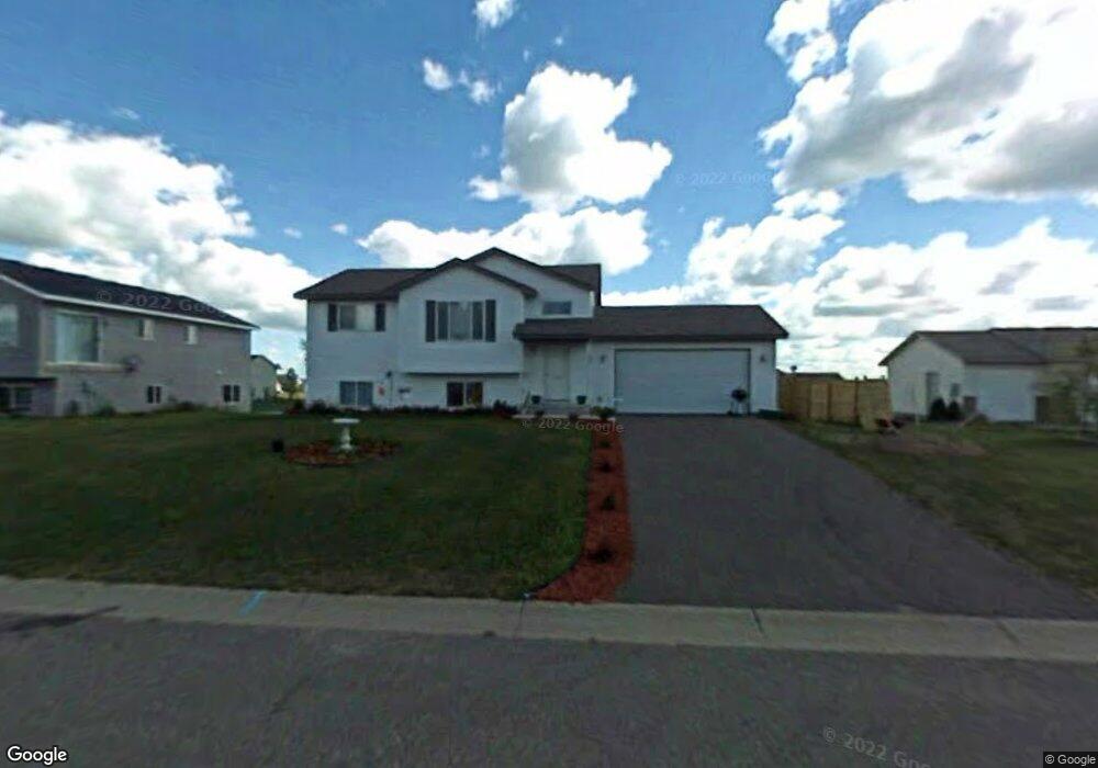
This home is located at 622 Lanee Ave, Foley, MN 56329 and is currently estimated at $271,431, approximately $280 per square foot. 622 Lanee Ave is a home located in Benton County with nearby schools including Foley Elementary School, Foley Intermediate Elementary School, and Foley Senior High School.
Ownership History
Date
Name
Owned For
Owner Type
Purchase Details
Closed on
Jun 21, 2007
Sold by
Deutsche Bank National Trust Co
Bought by
Hill Kurt and Hill Lisa
Current Estimated Value
Home Financials for this Owner
Home Financials are based on the most recent Mortgage that was taken out on this home.
Original Mortgage
$138,000
Outstanding Balance
$84,761
Interest Rate
6.26%
Mortgage Type
New Conventional
Estimated Equity
$186,670
Purchase Details
Closed on
Mar 17, 2005
Sold by
Belkholm Paul and Belkholm Linda
Bought by
Carlson Andrew N and Torry Andria E
Purchase Details
Closed on
Dec 29, 2004
Sold by
Paul Belkholm Inc
Bought by
Beklhohn Paul and Beklhohn Linda
Create a Home Valuation Report for This Property
The Home Valuation Report is an in-depth analysis detailing your home's value as well as a comparison with similar homes in the area
Home Values in the Area
Average Home Value in this Area
Purchase History
| Date | Buyer | Sale Price | Title Company |
|---|---|---|---|
| Hill Kurt | $138,000 | -- | |
| Carlson Andrew N | -- | None Available | |
| Beklhohn Paul | -- | None Available |
Source: Public Records
Mortgage History
| Date | Status | Borrower | Loan Amount |
|---|---|---|---|
| Open | Hill Kurt | $138,000 |
Source: Public Records
Tax History
| Year | Tax Paid | Tax Assessment Tax Assessment Total Assessment is a certain percentage of the fair market value that is determined by local assessors to be the total taxable value of land and additions on the property. | Land | Improvement |
|---|---|---|---|---|
| 2025 | $3,686 | $267,900 | $26,400 | $241,500 |
| 2024 | $3,304 | $279,200 | $26,400 | $252,800 |
| 2023 | $3,136 | $260,700 | $26,400 | $234,300 |
| 2022 | $2,762 | $232,500 | $26,400 | $206,100 |
| 2021 | $2,930 | $188,500 | $24,200 | $164,300 |
| 2018 | $2,076 | $113,100 | $18,044 | $95,056 |
| 2017 | $2,076 | $99,600 | $15,714 | $83,886 |
| 2016 | $1,966 | $122,000 | $19,800 | $102,200 |
| 2015 | $2,030 | $90,700 | $15,297 | $75,403 |
| 2014 | -- | $80,700 | $14,768 | $65,932 |
| 2013 | -- | $80,700 | $14,768 | $65,932 |
Source: Public Records
Map
Nearby Homes
- 354 Maple Dr
- 320 Oak Dr
- 201 Norman Ave S
- 191 4th Ave S
- 130 Broadway Ave S
- 151 3rd Ave
- XXX Hwy 25
- 320 7 1 2 Ave
- 320 8th Ave
- 1122 Fouquette St
- 4591 Ronneby Rd NE
- 12974 85th St NE
- 142xx 80th St NE
- 1406 23rd St NE
- 15808 55th St NE
- TBD 65th St NE
- 9260 Highway 95 NE
- 10485 Raven Loop NE
- 9235 75th Ave NE
- TBD Minnesota 23
Your Personal Tour Guide
Ask me questions while you tour the home.