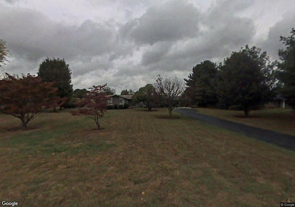
622 Mt Laurel Dr Dandridge, TN 37725
Estimated Value: $312,000 - $396,000
--
Bed
2
Baths
1,632
Sq Ft
$221/Sq Ft
Est. Value
About This Home
This home is located at 622 Mt Laurel Dr, Dandridge, TN 37725 and is currently estimated at $360,338, approximately $220 per square foot. 622 Mt Laurel Dr is a home located in Jefferson County with nearby schools including Mountain View Academy For Young Men.
Ownership History
Date
Name
Owned For
Owner Type
Purchase Details
Closed on
Dec 15, 2023
Sold by
Hance Janice D
Bought by
Manning Doug and Manning Sherry
Current Estimated Value
Home Financials for this Owner
Home Financials are based on the most recent Mortgage that was taken out on this home.
Original Mortgage
$100,000
Outstanding Balance
$92,790
Interest Rate
6.67%
Mortgage Type
Seller Take Back
Estimated Equity
$267,548
Purchase Details
Closed on
Mar 30, 1982
Bought by
Hance Harold and Hance Janice D
Purchase Details
Closed on
Jan 15, 1981
Purchase Details
Closed on
Sep 14, 1976
Create a Home Valuation Report for This Property
The Home Valuation Report is an in-depth analysis detailing your home's value as well as a comparison with similar homes in the area
Home Values in the Area
Average Home Value in this Area
Purchase History
| Date | Buyer | Sale Price | Title Company |
|---|---|---|---|
| Manning Doug | $300,000 | None Listed On Document | |
| Hance Harold | -- | -- | |
| -- | -- | -- | |
| -- | -- | -- |
Source: Public Records
Mortgage History
| Date | Status | Borrower | Loan Amount |
|---|---|---|---|
| Open | Manning Doug | $100,000 |
Source: Public Records
Tax History Compared to Growth
Tax History
| Year | Tax Paid | Tax Assessment Tax Assessment Total Assessment is a certain percentage of the fair market value that is determined by local assessors to be the total taxable value of land and additions on the property. | Land | Improvement |
|---|---|---|---|---|
| 2025 | $878 | $74,450 | $13,750 | $60,700 |
| 2023 | $878 | $38,175 | $0 | $0 |
| 2022 | $836 | $38,175 | $11,250 | $26,925 |
| 2021 | $836 | $38,175 | $11,250 | $26,925 |
| 2020 | $836 | $38,175 | $11,250 | $26,925 |
| 2019 | $836 | $38,175 | $11,250 | $26,925 |
| 2018 | $640 | $27,225 | $8,675 | $18,550 |
| 2017 | $640 | $27,225 | $8,675 | $18,550 |
| 2016 | $640 | $27,225 | $8,675 | $18,550 |
| 2015 | $640 | $27,225 | $8,675 | $18,550 |
| 2014 | $640 | $27,225 | $8,675 | $18,550 |
Source: Public Records
Map
Nearby Homes
- 1635 Sams Dr
- 1614 Sams Dr
- 312 Economy Cir
- 1710 Ferry Hill Rd
- 1920 Mountain Lake Dr
- 626 Briarwood Dr
- Lots 1&2 Ferry Hill Rd
- 1737 Doc Terry Rd
- 1476 Martha Dandridge Cir
- 625 Armstrong Dr
- 1045 Southwind Cir
- 1018 Southwind Cir
- 136 Crosslake Ln
- 118 Luxury Ln
- 428 River Bend Dr
- 417 Little Cove Dr
- 1806 Pheasant Crossing Dr
- 1988 Lakebrook Cir
- 1991 Lakebrook Cir
- Lot 5 Morningside Ln
- 612 Mt Laurel Dr
- 628 Mt Laurel Dr
- 628 Mount Laurel Dr
- Lot 36 Mt Laurel Dr
- 611 Victoria Dr
- 623 Mt Laurel Dr
- 651 Victoria Dr
- 627 Victoria Dr
- 613 Mt Laurel Dr
- 627 Mt Laurel Dr
- 608 Brookview Dr
- 643 Victoria Dr
- 1641 Brookview Dr
- 609 Mt Laurel Dr
- 605 Victoria Dr
- Lots 69&70 Brookview Dr
- 605 Mt Laurel Dr
- 669 Victoria Dr
- 669 Victoria Dr
- 1717 Brookview Dr