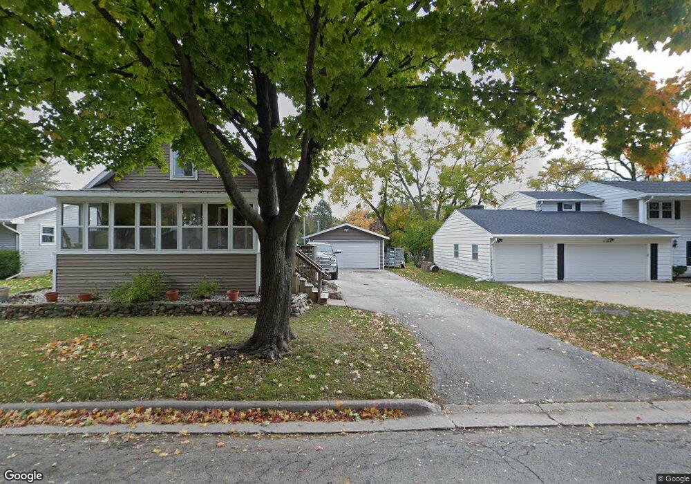
622 N Fisk St Green Bay, WI 54303
Perkins Park Area NeighborhoodEstimated Value: $227,109 - $288,000
3
Beds
1
Bath
1,310
Sq Ft
$190/Sq Ft
Est. Value
About This Home
This home is located at 622 N Fisk St, Green Bay, WI 54303 and is currently estimated at $248,777, approximately $189 per square foot. 622 N Fisk St is a home located in Brown County with nearby schools including Chappell Elementary School, Franklin Middle School, and West High School.
Ownership History
Date
Name
Owned For
Owner Type
Purchase Details
Closed on
Jul 25, 2012
Sold by
Stoltenberg William P and Stoltenberg Jenni M
Bought by
Stoltenberg William P
Current Estimated Value
Purchase Details
Closed on
Apr 26, 2005
Sold by
Vanbeckum Steven J and Vanbeckum Rebecca S
Bought by
Stoltenberg William P and Stoltenberg Jenni M
Home Financials for this Owner
Home Financials are based on the most recent Mortgage that was taken out on this home.
Original Mortgage
$104,400
Interest Rate
9.4%
Mortgage Type
Fannie Mae Freddie Mac
Create a Home Valuation Report for This Property
The Home Valuation Report is an in-depth analysis detailing your home's value as well as a comparison with similar homes in the area
Home Values in the Area
Average Home Value in this Area
Purchase History
| Date | Buyer | Sale Price | Title Company |
|---|---|---|---|
| Stoltenberg William P | -- | None Available | |
| Stoltenberg William P | $109,900 | Bay Title & Abstract |
Source: Public Records
Mortgage History
| Date | Status | Borrower | Loan Amount |
|---|---|---|---|
| Previous Owner | Stoltenberg William P | $104,400 |
Source: Public Records
Tax History Compared to Growth
Tax History
| Year | Tax Paid | Tax Assessment Tax Assessment Total Assessment is a certain percentage of the fair market value that is determined by local assessors to be the total taxable value of land and additions on the property. | Land | Improvement |
|---|---|---|---|---|
| 2024 | $3,362 | $133,100 | $23,100 | $110,000 |
| 2022 | $3,235 | $133,100 | $23,100 | $110,000 |
| 2021 | $2,219 | $88,900 | $17,900 | $71,000 |
| 2020 | $1,949 | $88,900 | $17,900 | $71,000 |
| 2019 | $1,873 | $88,900 | $17,900 | $71,000 |
| 2018 | $1,839 | $88,900 | $17,900 | $71,000 |
| 2017 | $1,837 | $88,900 | $17,900 | $71,000 |
| 2016 | $1,932 | $88,900 | $17,900 | $71,000 |
| 2015 | $1,915 | $88,900 | $17,900 | $71,000 |
| 2014 | -- | $88,900 | $17,900 | $71,000 |
| 2013 | -- | $88,900 | $17,900 | $71,000 |
Source: Public Records
Map
Nearby Homes
- 709 N Locust St
- 412 Saratoga St
- 819 N Platten St
- 820 N Platten St
- 1013 N Locust St
- 710 Royal Blvd
- 717 Park St
- 1037 Royal Blvd
- 1261 Mather St
- 1280 Division St Unit 1282
- 1037 Park St
- 1411 Shawano Ave
- 1193 Bond St
- 1716 Nancy Ave
- 1264 Shawano Ave
- 1169 Division St
- 1036 Neville Ave
- 1231 Shawano Ave
- 1125 Elmore St
- 1273 San Jose Place
- 628 N Fisk St Unit 630
- 614 N Fisk St Unit 616
- 619 Saratoga St
- 625 Saratoga St
- 700 N Fisk St
- 1448 Bond St Unit 1450
- 712 N Fisk St
- 1457 Bond St Unit 1459
- 1447 Bond St Unit 1449
- 711 Saratoga St
- 714 N Fisk St
- 622 Saratoga St
- 605 N Fisk St
- 616 Saratoga St
- 526 N Fisk St
- 630 Saratoga St
- 1430 Bond St Unit 1432
- 700 Saratoga St
- 715 Saratoga St
- 525 Saratoga St