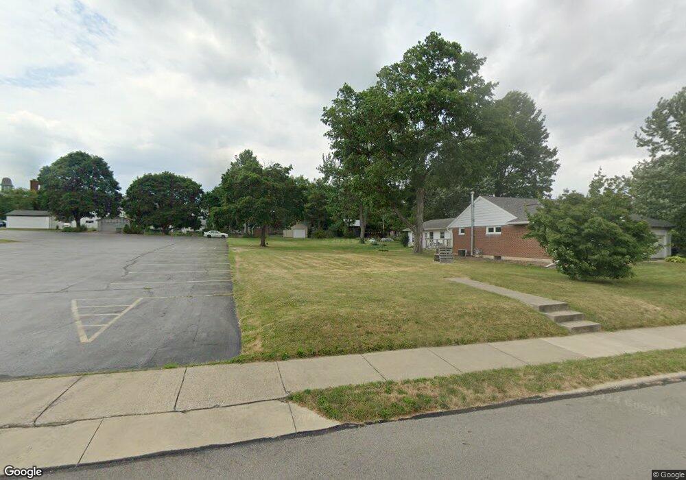
622 Park St Ashland, OH 44805
Estimated Value: $141,224
--
Bed
2
Baths
--
Sq Ft
0.33
Acres
About This Home
This home is located at 622 Park St, Ashland, OH 44805 and is currently estimated at $141,224. 622 Park St is a home located in Ashland County with nearby schools including Ashland High School, Ashland County Community Academy, and St. Edward Elementary School.
Ownership History
Date
Name
Owned For
Owner Type
Purchase Details
Closed on
Nov 13, 2006
Sold by
Highman Ii Oliver C
Current Estimated Value
Purchase Details
Closed on
Jan 1, 1990
Bought by
Highman Ii Oliver C
Create a Home Valuation Report for This Property
The Home Valuation Report is an in-depth analysis detailing your home's value as well as a comparison with similar homes in the area
Home Values in the Area
Average Home Value in this Area
Purchase History
| Date | Buyer | Sale Price | Title Company |
|---|---|---|---|
| -- | $78,000 | -- | |
| Highman Ii Oliver C | -- | -- |
Source: Public Records
Tax History Compared to Growth
Tax History
| Year | Tax Paid | Tax Assessment Tax Assessment Total Assessment is a certain percentage of the fair market value that is determined by local assessors to be the total taxable value of land and additions on the property. | Land | Improvement |
|---|---|---|---|---|
| 2024 | $4 | $14,280 | $14,280 | $0 |
| 2023 | $4 | $14,280 | $14,280 | $0 |
| 2022 | $461 | $10,200 | $10,200 | $0 |
| 2021 | $463 | $10,200 | $10,200 | $0 |
| 2020 | $439 | $10,200 | $10,200 | $0 |
| 2019 | $464 | $9,990 | $9,990 | $0 |
| 2018 | $468 | $9,990 | $9,990 | $0 |
| 2017 | $459 | $9,990 | $9,990 | $0 |
| 2016 | $459 | $9,340 | $9,340 | $0 |
| 2015 | $455 | $9,340 | $9,340 | $0 |
| 2013 | $1,256 | $25,550 | $11,600 | $13,950 |
Source: Public Records
Map
Nearby Homes
- 616 Park St
- 710 Park St Unit 712
- 311 W Liberty St
- 301 W Liberty St Unit 303
- 243 W Liberty St
- 309 W Liberty St
- 241 W Liberty St
- 319 W Liberty St
- 237 W Liberty St
- 321 W Liberty St
- 233 W Liberty St
- 621 Grant St
- 625 Grant St
- 302 W Liberty St
- 308 W Liberty St
- 617 Grant St
- 703 Grant St
- 300 College Ave
- 611 Grant St
- 229 W Liberty St