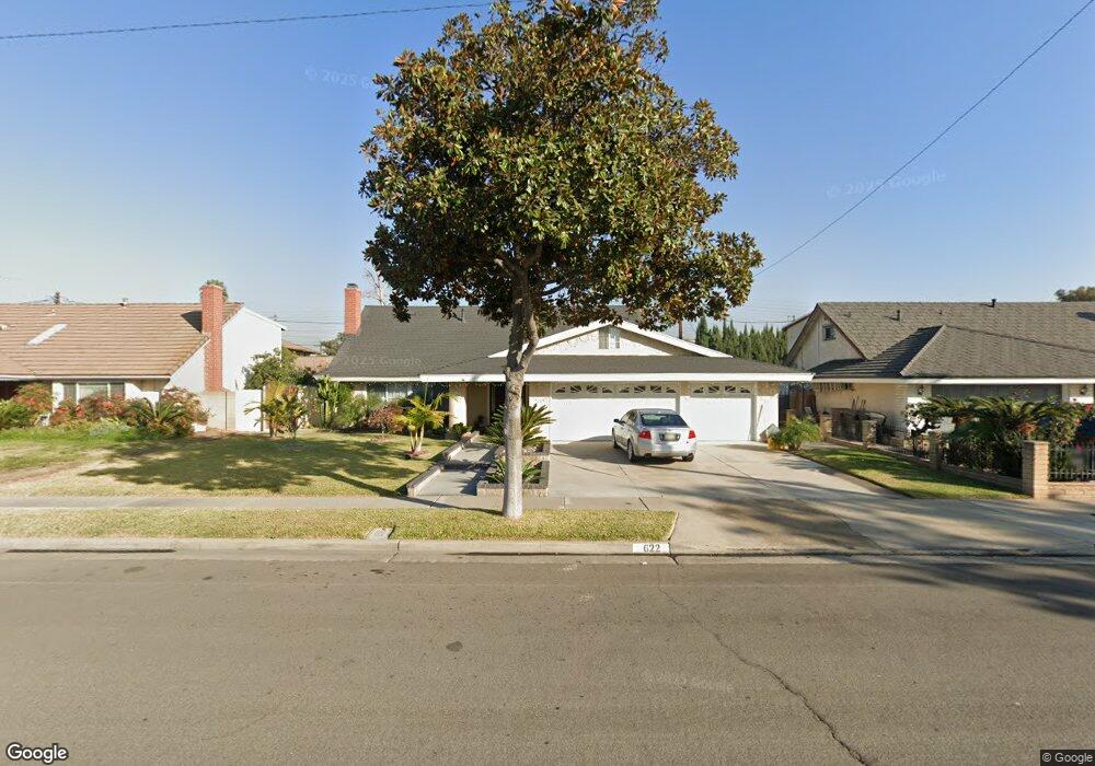
622 S Scott Ln Anaheim, CA 92804
West Anaheim NeighborhoodEstimated Value: $1,038,000 - $1,398,000
4
Beds
3
Baths
1,964
Sq Ft
$616/Sq Ft
Est. Value
About This Home
This home is located at 622 S Scott Ln, Anaheim, CA 92804 and is currently estimated at $1,208,966, approximately $615 per square foot. 622 S Scott Ln is a home located in Orange County with nearby schools including Mattie Lou Maxwell Elementary School, Dale Jr High School, and Magnolia High.
Ownership History
Date
Name
Owned For
Owner Type
Purchase Details
Closed on
May 19, 2010
Sold by
Lyons Wayne and Lyons Nancy
Bought by
Bui Thang and Nguyen Lua
Current Estimated Value
Purchase Details
Closed on
Mar 20, 1996
Sold by
Oswald E Vernize
Bought by
Lyons Wayne and Lyons Nancy
Home Financials for this Owner
Home Financials are based on the most recent Mortgage that was taken out on this home.
Original Mortgage
$164,000
Interest Rate
7.82%
Create a Home Valuation Report for This Property
The Home Valuation Report is an in-depth analysis detailing your home's value as well as a comparison with similar homes in the area
Home Values in the Area
Average Home Value in this Area
Purchase History
| Date | Buyer | Sale Price | Title Company |
|---|---|---|---|
| Bui Thang | $520,000 | Chicago Title Company | |
| Lyons Wayne | $205,000 | Orange Coast Title |
Source: Public Records
Mortgage History
| Date | Status | Borrower | Loan Amount |
|---|---|---|---|
| Previous Owner | Lyons Wayne | $164,000 |
Source: Public Records
Tax History
| Year | Tax Paid | Tax Assessment Tax Assessment Total Assessment is a certain percentage of the fair market value that is determined by local assessors to be the total taxable value of land and additions on the property. | Land | Improvement |
|---|---|---|---|---|
| 2025 | $7,429 | $671,224 | $526,400 | $144,824 |
| 2024 | $7,429 | $658,063 | $516,078 | $141,985 |
| 2023 | $7,238 | $645,160 | $505,959 | $139,201 |
| 2022 | $7,170 | $632,510 | $496,038 | $136,472 |
| 2021 | $7,084 | $620,108 | $486,311 | $133,797 |
| 2020 | $7,046 | $613,750 | $481,324 | $132,426 |
| 2019 | $6,866 | $601,716 | $471,886 | $129,830 |
| 2018 | $6,781 | $589,918 | $462,633 | $127,285 |
| 2017 | $6,538 | $578,351 | $453,561 | $124,790 |
| 2016 | $6,507 | $567,011 | $444,667 | $122,344 |
| 2015 | $6,480 | $554,000 | $440,952 | $113,048 |
| 2014 | $5,946 | $523,915 | $410,867 | $113,048 |
Source: Public Records
Map
Nearby Homes
- 507 S Shields Dr
- 603 S Dale Ave
- 314 S Benwood Dr
- 315 S Benwood Dr
- 919 S Sherrill St
- 2770 W Lincoln Ave Unit 55
- 2550 W Rowland Ave
- 2960 W Rome Ave
- 2512 W Halfmoon Dr
- 2942 W Floyd Ave
- 231 S Laxore St
- 231 S Gain St
- 401 S Beach Blvd
- 134 S Magnolia Ave Unit 11C
- 704 S Hayward St
- 8921 Kennelly Ln
- 701 S Hayward St Unit C
- 701 S Hayward St Unit B
- 2513 W Fulcrum Place
- 2943 W Lincoln Ave
- 618 S Scott Ln
- 628 S Scott Ln
- 623 S Shields Dr
- 629 S Shields Dr
- 612 S Scott Ln
- 623 S Scott Ln
- 619 S Scott Ln
- 629 S Scott Ln
- 613 S Shields Dr
- 613 S Scott Ln
- 2760 W Westhaven Dr
- 2756 W Westhaven Dr
- 2766 W Westhaven Dr
- 608 S Scott Ln
- 622 S Shields Dr
- 628 S Shields Dr
- 622 S Vicki Ln
- 609 S Shields Dr
- 2750 W Westhaven Dr
- 618 S Shields Dr
Your Personal Tour Guide
Ask me questions while you tour the home.