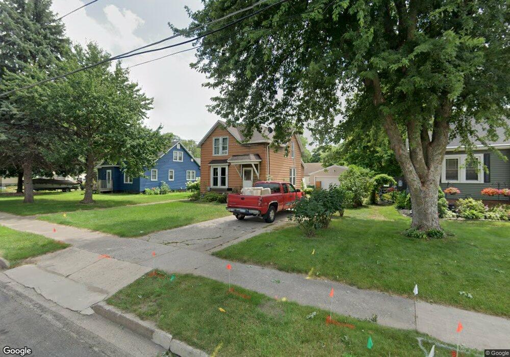
622 Sheridan St Albert Lea, MN 56007
Estimated Value: $118,000 - $172,000
4
Beds
2
Baths
1,268
Sq Ft
$105/Sq Ft
Est. Value
About This Home
This home is located at 622 Sheridan St, Albert Lea, MN 56007 and is currently estimated at $133,236, approximately $105 per square foot. 622 Sheridan St is a home located in Freeborn County with nearby schools including Hawthorne Elementary School, Southwest Middle School, and Albert Lea Senior High School.
Ownership History
Date
Name
Owned For
Owner Type
Purchase Details
Closed on
May 24, 2017
Sold by
Horning Donald Donald
Bought by
Horning Richard Richard and Horning Patricia Patricia
Current Estimated Value
Home Financials for this Owner
Home Financials are based on the most recent Mortgage that was taken out on this home.
Original Mortgage
$60,000
Outstanding Balance
$49,870
Interest Rate
4.08%
Estimated Equity
$83,366
Create a Home Valuation Report for This Property
The Home Valuation Report is an in-depth analysis detailing your home's value as well as a comparison with similar homes in the area
Home Values in the Area
Average Home Value in this Area
Purchase History
| Date | Buyer | Sale Price | Title Company |
|---|---|---|---|
| Horning Richard Richard | $60,000 | -- | |
| Horning Richard D | $60,000 | None Available |
Source: Public Records
Mortgage History
| Date | Status | Borrower | Loan Amount |
|---|---|---|---|
| Open | Horning Richard Richard | $60,000 |
Source: Public Records
Tax History Compared to Growth
Tax History
| Year | Tax Paid | Tax Assessment Tax Assessment Total Assessment is a certain percentage of the fair market value that is determined by local assessors to be the total taxable value of land and additions on the property. | Land | Improvement |
|---|---|---|---|---|
| 2025 | $1,212 | $95,100 | $18,500 | $76,600 |
| 2024 | $1,134 | $106,300 | $18,500 | $87,800 |
| 2023 | $1,214 | $95,600 | $18,500 | $77,100 |
| 2022 | $758 | $101,200 | $18,500 | $82,700 |
| 2021 | $744 | $61,300 | $14,800 | $46,500 |
| 2020 | $688 | $55,000 | $14,800 | $40,200 |
| 2019 | $594 | $48,300 | $13,100 | $35,200 |
| 2018 | $578 | $0 | $0 | $0 |
| 2016 | $610 | $0 | $0 | $0 |
| 2015 | $594 | $0 | $0 | $0 |
| 2014 | $786 | $0 | $0 | $0 |
| 2012 | $906 | $0 | $0 | $0 |
Source: Public Records
Map
Nearby Homes
- 713 Minnesota Ave
- 902 Clausen Ave
- 1109 Amelia Ave
- 613 & 615 Giles Place
- 618 & 620 Giles Place
- 514 Raymond Ave
- 711 Clausen Ave
- 602 Minnesota Ave
- 1020 Saint Jacob Ave
- 314 Burr Oak Dr
- 505 Pillsbury Ave
- 209 Burr Oak Dr
- 109 E Hawthorne St
- 103 Giles Place
- 614 Garfield Ave
- 313 Glenn Rd
- 522 Saint Thomas Ave
- 1321 Garfield Ave
- 212 N Broadway Ave Unit C1
- 212 N Broadway Ave Unit B-4
- 618 Sheridan St
- 626 Sheridan St
- 809 Harding Ave
- 614 Sheridan St
- 807 Harding Ave
- 619 Hope Ln
- 702 Sheridan St
- 621 Sheridan St
- 808 Harding Ave
- 623 Sheridan St
- 619 Sheridan St
- 621 Hope Ln
- 623 Hope Ln
- 806 Harding Ave
- 625 Sheridan St
- 706 Sheridan St
- 615 Sheridan St
- 802 Harding Ave
- 703 Sheridan St
- 802 Valley Ave