622 State Route 662 E Newburgh, IN 47630
Estimated Value: $555,000 - $1,309,614
3
Beds
4
Baths
4,527
Sq Ft
$205/Sq Ft
Est. Value
About This Home
This home is located at 622 State Route 662 E, Newburgh, IN 47630 and is currently estimated at $928,205, approximately $205 per square foot. 622 State Route 662 E is a home located in Warrick County with nearby schools including Newburgh Elementary School, Castle North Middle School, and Castle High School.
Ownership History
Date
Name
Owned For
Owner Type
Purchase Details
Closed on
Jul 31, 2019
Sold by
John Mattingey Homes Inc
Bought by
Mattingly John and Mattingly Dana
Current Estimated Value
Purchase Details
Closed on
Aug 11, 2006
Sold by
Fisher Larry S
Bought by
Soyugenc Rahmi and Soyugenc Marjorie Z
Create a Home Valuation Report for This Property
The Home Valuation Report is an in-depth analysis detailing your home's value as well as a comparison with similar homes in the area
Home Values in the Area
Average Home Value in this Area
Purchase History
| Date | Buyer | Sale Price | Title Company |
|---|---|---|---|
| Mattingly John | -- | Total Title Services Llc | |
| Soyugenc Rahmi | -- | None Available |
Source: Public Records
Tax History Compared to Growth
Tax History
| Year | Tax Paid | Tax Assessment Tax Assessment Total Assessment is a certain percentage of the fair market value that is determined by local assessors to be the total taxable value of land and additions on the property. | Land | Improvement |
|---|---|---|---|---|
| 2024 | $17,521 | $892,400 | $189,200 | $703,200 |
| 2023 | $16,825 | $879,300 | $189,200 | $690,100 |
| 2022 | $15,997 | $833,500 | $164,600 | $668,900 |
| 2021 | $15,983 | $797,600 | $253,100 | $544,500 |
| 2020 | $15,615 | $779,200 | $253,000 | $526,200 |
| 2019 | $12,894 | $643,100 | $131,500 | $511,600 |
| 2018 | $1,045 | $47,900 | $47,900 | $0 |
| 2017 | $1,059 | $47,900 | $47,900 | $0 |
| 2016 | $1,048 | $47,900 | $47,900 | $0 |
| 2014 | $1,174 | $58,300 | $58,300 | $0 |
| 2013 | $1,140 | $58,300 | $58,300 | $0 |
Source: Public Records
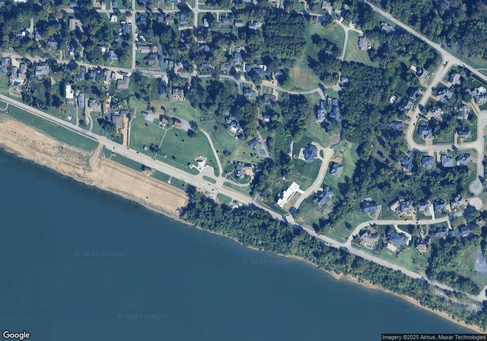
Map
Nearby Homes
- 210 E Main St
- 101 E Jennings St Unit E
- 116 Sycamore St
- 912 Orchard Dr
- 405 Middle St
- 110 Monroe St
- 6288 Sycamore Hollow
- 622 Forest Park Dr
- 519 Monroe St
- 223 W Jennings St
- 7366 Parkridge Rd
- 317 W Water St
- 5599 Victoria Ct
- 5610 Saint Catherine Ct
- 422 W Water St
- 7233 Stonebridge Rd
- 1 Hillside Trail
- 7711 Woodland Dr
- 7555 Upper Meadow Rd
- 5455 E Timberwood Dr
- 700 State Route 662 E
- 422 French Island Trail
- 408 French Island Trail
- 700 State Route 662 W
- 619 E Jennings St
- 4 Overlook Dr
- 4 Overlook Dr
- Lot 1 Overlook Ct Unit 1
- Lot 1 Overlook Ct
- 1 Overlook Ct
- 2 Overlook Dr
- 601 E Jennings St
- 621 E Jennings St
- 629 E Jennings St
- 622 E Jennings St
- 0 Overlook Ct Unit 951091
- 0 Overlook Ct Unit 202003972
- 1 Overlook Dr
- 524 State Route 662 W
- 516 State Route 662 W